
Maps and Navigation
Plan mountain routes with offline maps, GPS, contour lines and a compass. Learn what to expect from mobile coverage and satellite communication.
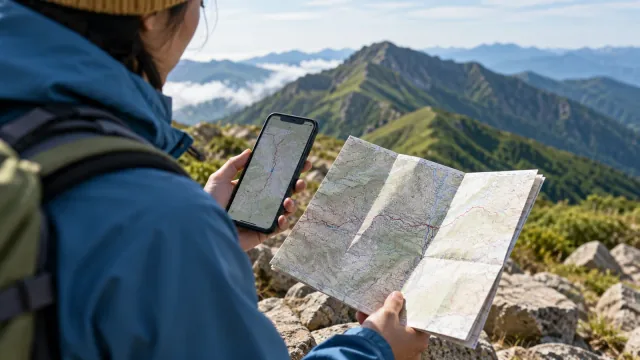
How to download and test offline hiking maps
You install a hiking map app, arrive at the trailhead and open it to find blank squares. Mobile coverage can be patchy i…
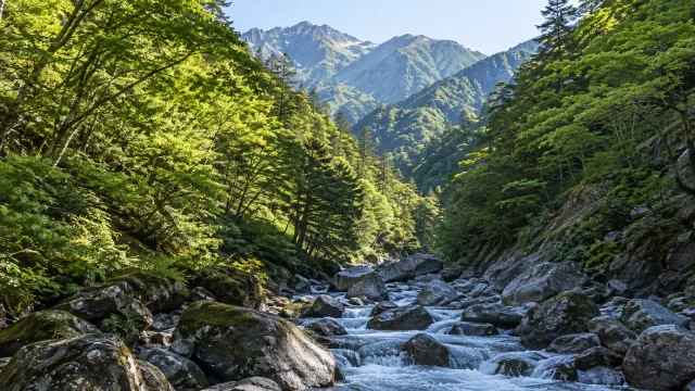
Why hiking GPS can be inaccurate in valleys and forests
A GPS watch or phone can show your position on the trail along a ridge, then jump well away from it as you descend into …
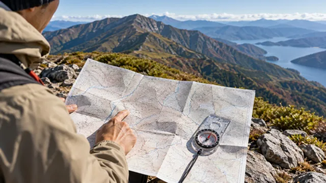
How to read contour lines on a hiking map
Open a hiking map and look at the contour lines. Each connects points at the same elevation, but turning those lines int…
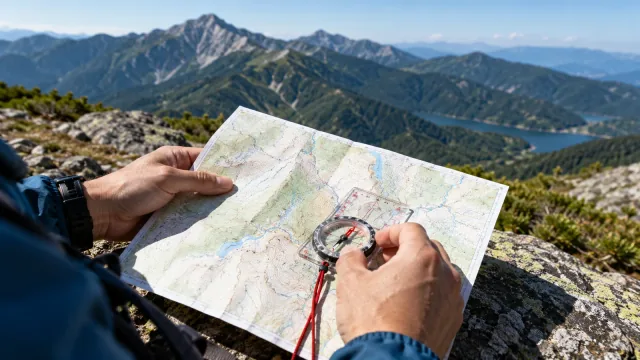
How to use a compass to find your position and follow a bearing
A compass needle gives you magnetic north. A map lets you use that direction to estimate where you are and decide which …
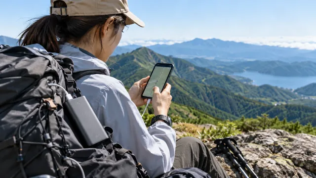
How to make your phone battery last on a hike
If your phone runs out of power on a hike, you lose its navigation and a way to call for help. A charged power bank give…
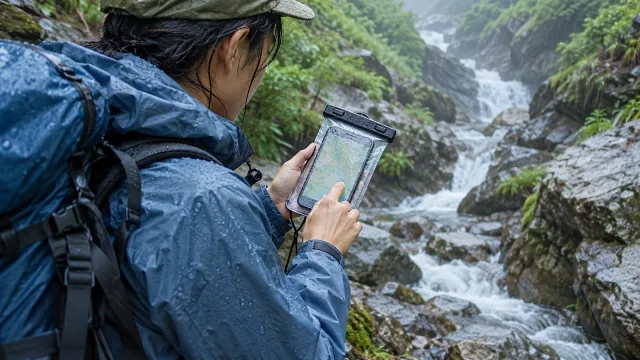
How to keep your phone dry while hiking
A phone can get wet in heavy rain, from spray beside a stream, in a sweaty pocket or when moisture condenses. If you use…
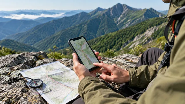
How to record and review a GPS track from a hike
Which route did you take up that mountain? How long did last week’s hike actually take? A phone or GPS watch can keep a …
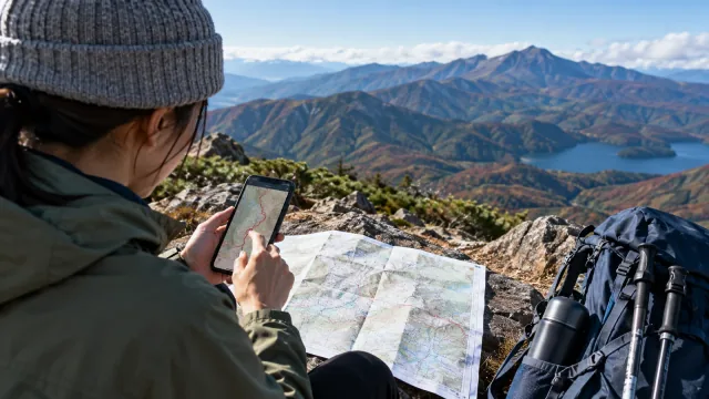
How to use a map app to plan a hiking route
Which app should you use to plan a hike? The most useful features let you review distance, ascent, estimated time and te…
Sharing your location with family on a hike
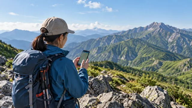
When someone is waiting for you to return from a hike, a location update can help them follow your progress. Hiking apps…
GPS watch or phone for hiking? How to use each
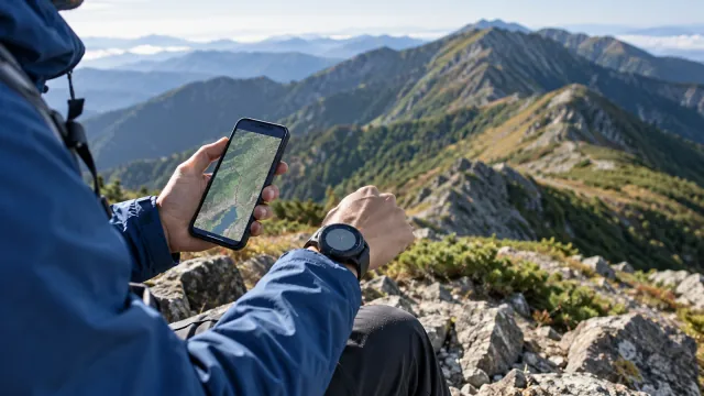
A GPS watch is convenient for a quick look at your progress. A phone gives you more room to read terrain and can handle …
How to read Japan’s GSI topographic maps for hiking
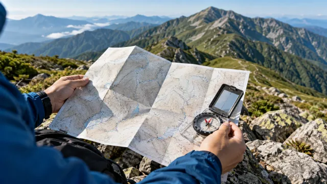
Japan’s Geospatial Information Authority (GSI) publishes topographic maps that show terrain, paths and land cover. The s…
Choosing a paper map for hiking in Japan
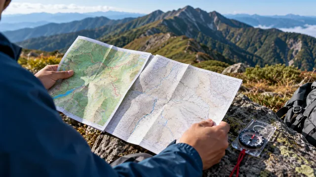
Two kinds of paper map are common when planning a hike in Japan. Shobunsha’s Yama to Kōgen Chizu series is edited for hi…
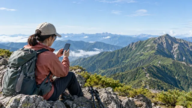
Mobile coverage in Japan’s mountains: how to plan for gaps
A phone can have service on one ridge and lose it in the valley below. Coverage affects calls and messages, and it can a…
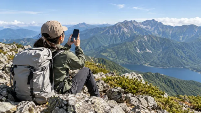
Satellite emergency SOS for hiking in Japan
Some smartphones can contact emergency services by satellite when there is no mobile or Wi-Fi coverage. That option can …
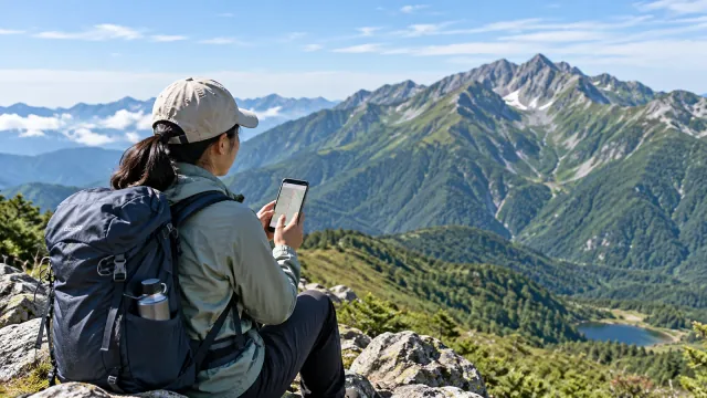
Free and paid hiking apps: which features do you need?
A free hiking app may be enough to look up a route, record a walk or read another hiker's report. Downloading a map for …
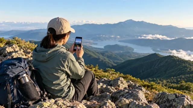
How to write a hiking journal and choose who can see it
When you save a hike in an app, decide what will help you remember the day and who should be able to read it. A GPS trac…
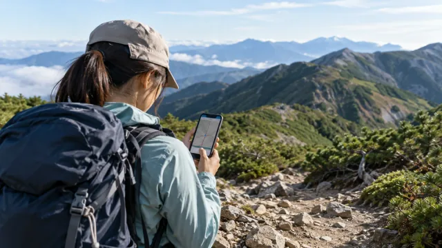
How off-route alerts work on hiking apps and when they can fail
Your phone may warn you that you have left the route while you are walking on a marked trail. You can also lose the rout…
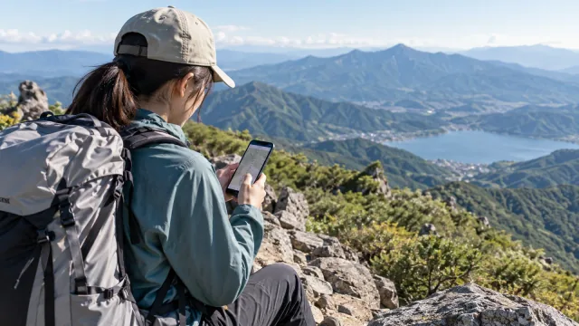
How to read hiking route difficulty ratings across apps
One app may call a route easy while another describes it as moderate. Check that both are describing the same trailhead,…
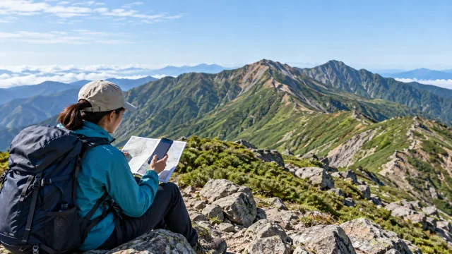
How to turn a hiking app’s walking time into your own plan
A hike shown as four hours in an app can take six hours from trailhead to finish. The difference may come from walking p…
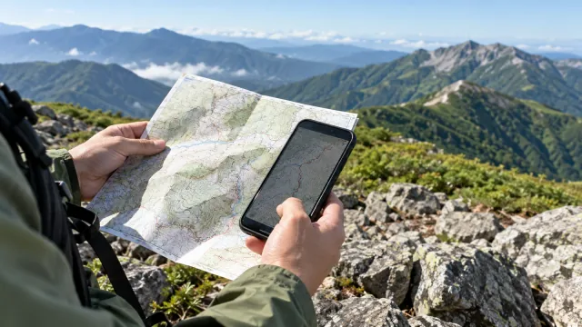
Update your hiking maps and check for trail changes
A line on your phone can still show a trail after a landslide, forestry work or a closure has changed it on the ground. …
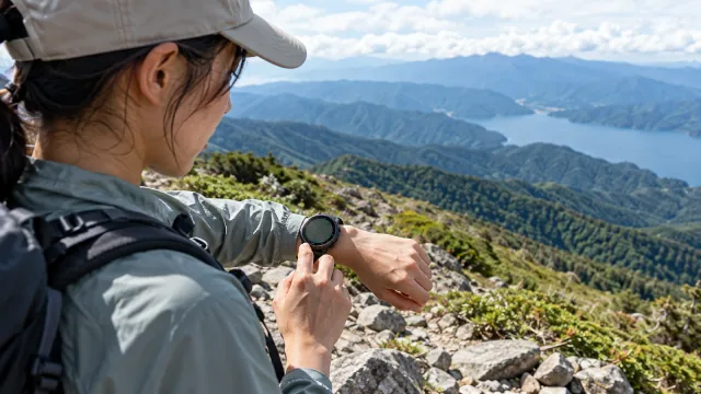
Which smartwatch features matter for hiking?
Hiking watches list satellite positioning, altimeters, compasses and heart-rate sensors. The practical question is what …
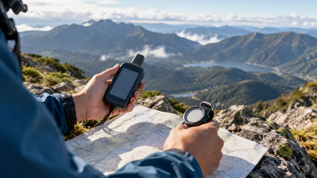
Barometric and GPS altimeters for hiking
Elevation can help you place yourself on a trail and check how much climbing remains. A barometric altimeter estimates h…
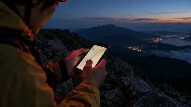
Checking a map after dark: screen brightness and night vision
A bright map screen can make it harder to see a dark trail for a while. If you must navigate before dawn or after dark, …
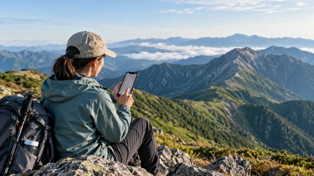
Where to find hiking routes, weather and trip reports in Japan
A site that helps you plan a route may give little detail about the wind on a ridge or how a GPS track is saved. Start b…
How to move your hiking records to a new app
When you change hiking apps, you may want to keep the places you walked, the dates and the notes you wrote. Apps can exc…