
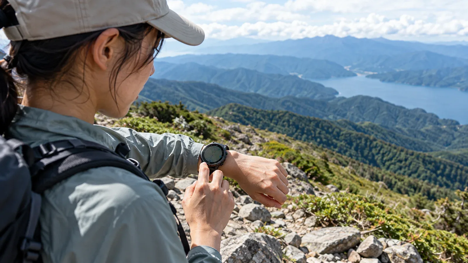
Hiking watches list satellite positioning, altimeters, compasses and heart-rate sensors. The practical question is what you need to do during your hike and which functions work away from your phone and mobile coverage.
This guide helps you compare navigation, elevation, battery life and other features against your route and equipment. Start with the job you want the watch to do.
Decide what the watch will do
A watch can help with three common tasks.
- Check position and direction. See whether it shows a full map, a route line or only coordinates, and whether it needs the phone.
- Track elevation and pressure. Use changes as context for the terrain or weather alongside your map and forecasts.
- Observe effort and pace. Use trends in pace or heart rate to decide whether to slow down or take a break.
If your phone is the main map, the watch can be a quick reference. If you want to keep the phone packed, check that the watch can open the route and map on its own. Satellite positioning for navigation and satellite emergency communication are separate. If you need SOS, verify the model, service or plan, purchase region, coverage in Japan and sky requirements. Apple lists satellite SOS in Japan for eligible Apple Watch Ultra 3 and later models. Garmin Japan says the fēnix 8 Pro uses only LTE for inReach in Japan, with an active subscription and LTE coverage required.
Core features to check
Barometric altimeter
A barometric altimeter estimates elevation from air pressure. It can show small changes in ascent and descent, while satellite elevation estimates vary with reception and terrain. Some watches combine both readings or use map elevation to calibrate.
Pressure also changes with weather. Calibrate the watch as its manual describes, ideally at a known elevation when possible. If you are staying at the same altitude, a pressure trend can be one clue about the weather. Check forecasts and warnings before departure and keep watching local conditions for signs of storms.
Electronic compass
Satellite positioning gives an estimated position. Direction of travel can be estimated as you move. An electronic compass can provide a bearing while you stand still, which can help when you orient a map.
Check whether the compass compensates for tilt and how it is calibrated. Magnets, watch straps and nearby metal can affect the reading. Compare bearings away from interference and carry a separate compass for use with a paper map.
Battery life while recording
Compare the battery estimate for the satellite recording and navigation mode you intend to use. A general smartwatch battery figure covers different activities. Plan for the whole outing, including delays, and check how you will recharge on a multi-day trip.
Battery life varies with cold, screen settings, satellite mode and how often you use maps. Some low-power modes sample less often or limit features. Test the actual mode on a shorter hike, keep a reserve and carry a working charging cable and power bank if you will need them.
Water resistance for your conditions
Check the manual for the exact model's permitted exposure to rain, sweat, immersion and moving water, and its instructions for pressing buttons or charging when wet. IP and ATM ratings describe specific tests. Use the maker's guidance for real use, especially for an older or damaged watch.
Features that can help
Heart-rate trends and pacing
A wrist sensor can give you another way to track how hard you are working. Use trends alongside how you feel, your walking pace and the needs of your group when deciding to rest or slow down.
Optical readings can vary with fit, motion, temperature and blood flow at the wrist. Treat a watch value as an estimate. Make decisions about symptoms based on how you feel and get appropriate help when needed.
Offline maps
A compatible watch can show a downloaded map or route away from mobile coverage. Check what it shows and whether it works without the phone nearby. A small screen can make it harder to see surrounding terrain and alternative exits.
Download or sync the area and route before leaving. Check map coverage for Japan and whether details, route guidance and the return path are available on the watch. Try them without the phone connection. Carry an offline phone map, a paper map and a compass as appropriate.
Sunrise and sunset
Some watches can show sunrise and sunset from the date and location. Confirm that the watch uses the right location and that you can see the information offline. Allow for earlier darkness in a valley or forest when setting a turnaround time.
Features to give lower priority
Music, phone notifications and connected features may be useful in daily life. Downloaded music or a local connection may still work offline. Features that need internet or mobile service depend on coverage, and using them can draw more power.
Estimated VO₂ max and sleep scores can help you look at trends over time. Choose your route and pace based on recent hiking experience, conditions and how you feel that day.
Voice assistants vary by model. Check which commands work on the device if you plan to use them off-grid. Physical buttons or simple watch screens can be easier to use with cold or gloved hands.
Three questions before choosing
Compare the exact models against the outings you actually do.
- Day hikes or multi-day trips? Check battery life in the right mode, your margin for delays and charging options.
- What will the phone do? Decide which maps, routes and communication functions each device will handle. Test the features that must work independently.
- Cold weather or high terrain? Check the operating temperature, controls with gloves, water resistance and compass or altimeter setup. Choose equipment and a route that suit your experience and the conditions.
Your next step
Read the exact model's manual and look for the mode-specific battery figures, offline map coverage, compass and altimeter controls. Test the watch on a familiar hike with your usual equipment. Plan your navigation and emergency communications before the next trip.
References and sources
- Garmin: fēnix 8 series manual, sensors, maps and power modes
- Apple Support: compass accuracy and magnetic interference
- Apple Support: operating temperatures, battery and sensor conditions
- Apple Support: factors that affect wrist measurements
- Apple Support: water resistance and permitted activities
- IEC: enclosure protection and the IP Code
- Apple Support: satellite Emergency SOS on Apple Watch Ultra
- Garmin Japan: fēnix 8 Pro inReach and LTE availability
- National Astronomical Observatory of Japan: sunrise and sunset
- Nagano Prefecture: mountain safety and daylight