
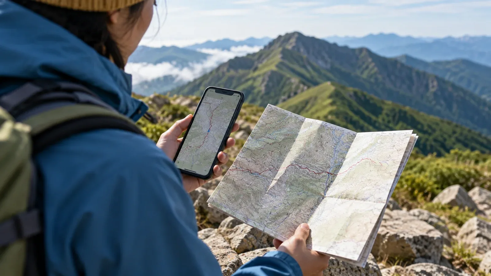
You install a hiking map app, arrive at the trailhead and open it to find blank squares. Mobile coverage can be patchy in the mountains. A phone can often get a position from navigation satellites without mobile service. Displaying a map requires map data, which the app may have to download in advance.
Here is how to choose an area, save it and check it before leaving. Look up the download controls and offline features in your app’s own help pages.
Why your map can disappear offline
An app can fetch small pieces of the map over the internet as you pan or zoom. With offline downloads, it instead reads the map data stored on the device. Briefly opening a map while online can leave part of it in the cache, with gaps at other scales or locations.
Installing the app and downloading a map are separate steps. Find the offline map list and confirm that the download is complete. Some apps save named areas or individual maps instead of a rectangle you draw yourself.
What area and detail to save
Cover the whole route from the trailhead to the exit, leaving space around it. Check three things when choosing the download.
Beyond the start and finish. Include the approach, the way out and any established escape routes or side ridges where you could take a wrong turn.
On either side of the route. Save the terrain around the ridge as well as nearby valleys, roads and trails. The wider view helps you judge options from a safe place if weather or a closure changes the plan.
Level of detail. A 1:25,000 topographic map is a useful reference in Japan. Check that contours, trail junctions and landmarks remain legible at the scales you use. Zoom numbers and storage sizes vary by app, coverage and map layers.
Use the app’s download or offline map feature. If the trail crosses several named areas, save each one. Check the developer’s help for which map layers and saved routes are available offline.
Downloading the map and checking it
Before you download
- Connect to reliable Wi-Fi. Map downloads can be large. Save the area at home or on a stable connection with enough time to try again.
- Check free space. Do this several days ahead so that you have time to make space and finish the download.
- Check for app updates. If you update the app, reopen it and test your saved maps again before departure.
When the download is finished
Close the app, turn on airplane mode and make sure Wi-Fi is off too. Reopen the app, then pan and zoom along the whole route and its alternatives. Check the scale and layers you expect to use, including a saved route if relevant. Check whether your position appears outdoors with the app’s location permission enabled. A device may remember that Wi-Fi was enabled in airplane mode, so verify the setting.
After the test, leave airplane mode and restore the settings you need for calls and messages.
Common problems
- The map is missing. A download may have been interrupted or run out of space. Look for the completed map in the app’s offline list.
- Detail disappears when you zoom in. Check which scales are stored and download the level of detail you need if the app offers a choice.
- The route crosses a download boundary. Save adjacent maps and check the junction between them offline.
- You changed phones. Downloads may not transfer with your account. Check the new device and download the maps again if needed.
Managing power and protecting the phone
Even a fully downloaded map needs a working phone. Frequent screen use and continuous position tracking can drain the battery during a long hike. Find out how long your usual settings last before relying on them in the mountains.
- Carry a charged power bank and a compatible cable. Recharge before the phone is nearly empty.
- Reduce screen brightness as conditions allow and turn the screen off between checks.
- If your app lets you lengthen the track interval, that can reduce power use at the cost of a less detailed track.
- Cold can temporarily shorten battery life. Keep the phone warm in a dry inside pocket when you can.
Check your model’s water resistance and protect it in rain or near streams with a waterproof pouch. A water-resistance rating has test limits and can decline with wear.
Bring a paper map and compass
A phone can run out of power, break or go missing. Carry a paper topographic map, such as a 1:25,000 map from the Geospatial Information Authority of Japan (GSI), or a suitable hiking map. Bring a compass and practise using them together.
Before a new route or a trip with a poor forecast, use the paper map to identify major junctions, landmarks and safe ways to turn back. The phone can show a position on the go. Paper gives you an overview and still works when the phone stops.
Before your next hike
Download the maps for your next hike over Wi-Fi and test the full route in airplane mode. When you have a connection, you can use the Nordwand community to share trip logs or ask other hikers about your plan. Check current closures and opening dates with the local authority, park or hut operator.
References
- Geospatial Information Authority of Japan: GSI Maps and official topographic maps
- Official hiking map app help: map downloads and offline features
- National Police Agency of Japan: annual mountain incident reports and preparation guidance
References and sources
- GSI: official 1:25,000 topographic maps
- YAMAP: downloading hiking maps
- Yama to Kogen Chizu: hiking map app
- Geographica: official user guide
- National Police Agency: 2025 mountain incident report
- GPS.gov: satellite positioning
- Apple: Wi-Fi and airplane mode
- Google: Wi-Fi and airplane mode on Android
- Android Developers: location updates and battery use
- Apple: temperature and battery life
- Apple: water-resistance limits and wear