
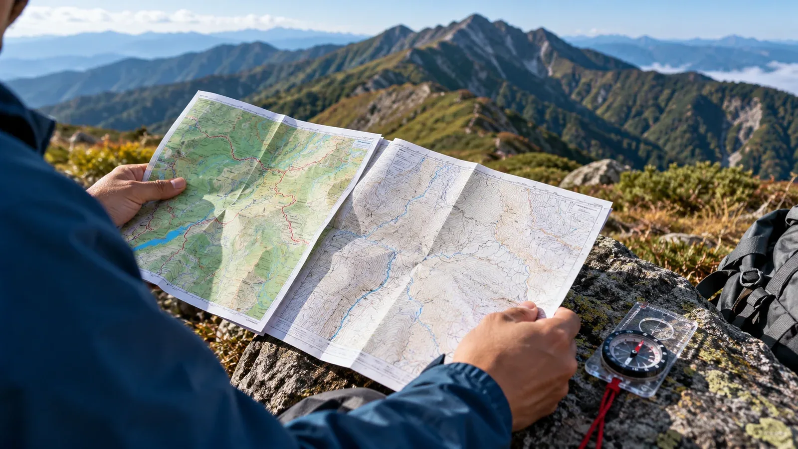
Two kinds of paper map are common when planning a hike in Japan. Shobunsha’s Yama to Kōgen Chizu series is edited for hikers. The Geospatial Information Authority of Japan (GSI) publishes topographic sheets, including its 1:25,000 series. Decide what you need to see on the route and check which sheet covers it.
A hiking map helps when the route follows established trails and you want section times and facilities at a glance. Add a topographic sheet when you need to read slope shape and landmarks more closely, learn map and compass skills, or cover ground outside a hiking map’s boundary.
This guide compares what each map shows and how to prepare it before heading out.
What is Yama to Kōgen Chizu?
Shobunsha edits these maps for travel on foot. Many titles use 1:50,000, while some areas or insets use 1:25,000 or another scale. Use the actual sheet’s scale and legend to distinguish established routes from routes with special cautions.
Depending on the title, the map or booklet can show estimated walking times by section, junction names, huts, toilets, water and hazards. Use times as planning estimates. Confirm seasonal hut and water availability with the operator before relying on them.
Each title has a defined coverage area. A traverse may cross a boundary, so check both sides of the map and neighboring titles. A faint path, abandoned track or closed trail may be absent or carry a caution.
Check the edition year and the publisher’s notices. In June 2026 Shobunsha said it was pausing that year’s regular field surveys while continuing to sell the current editions. Even a recent edition can predate a washout or closure, so check current information for your route.
What is a GSI topographic map?
GSI covers Japan with its 1:25,000 topographic series. Ordinary contour lines are 10 m apart in elevation and heavier index lines are 50 m apart. Supplementary contours can appear where useful. Check the scale bar if you print or resize a map.
Read ridges, valleys and changes in slope from the contour shapes and spacing. At the same scale and interval, closer lines show steeper ground. The map generalizes the terrain, so small cliffs and short irregularities can be missing.
Use a topographic sheet to practice map reading with a compass, to see areas outside a hiking map’s coverage, and to understand where a trail runs in the terrain. Compare mapped, open ways to exit or turn back. A drawn route through an unmarked valley or ridge requires separate access checks, local knowledge and suitable skills.
You can buy GSI paper sheets from map sellers. GSI Maps also lets you view a map in your browser and print or save the displayed area from a computer. The separately sold Digital Topographic Map 25000 is a different product. If you print a sheet, verify the scale, coverage and legibility.
Compare the two maps
Compare the actual editions you plan to carry, including the scale and coverage on both sides.
Trail information
A Yama to Kōgen Chizu sheet can put section times, junctions and caution notes together. A GSI map shows mapped paths and terrain symbols. It generally does not provide the same trail-by-trail time estimates or practical hut details. Check the route and your group’s pace when working out when you can reach a hut.
Terrain detail
A 1:25,000 topographic sheet can make contours, spurs and the meeting point of valleys easier to read than a 1:50,000 overview. Some hiking maps have detailed insets. Compare the scale and contours for the section you need, and check steep or exposed terrain against current local information.
Portability and durability
The hiking series is sold as folded maps, and the publisher describes durable paper. Check the specific edition’s material. Keep either map in a waterproof case or bag and protect exposed folds when opening it in rain or wind.
Cost and availability
Check the price and coverage of a current hiking edition in the publisher’s catalog. GSI lists paper sheets and purchase options, and its web map has a desktop print function. Factor in every sheet you need and how you will protect it outdoors.
Choose based on the trip
Think about the detail you need in the sections where navigation will be hardest.
When a hiking map can be your main paper map
- You are following an established, open, well-marked trail
- The map covers the route and a verified way to turn back
- The printed section times help estimate the day when adjusted to your group and conditions
When to add a topographic sheet
- You want to practice finding terrain features and using a compass
- You need more detail at a confusing junction, on a ridge or in a valley
- A traverse crosses the boundary of the hiking map
- You want to check the terrain around verified exits or turnaround options
When to consider carrying both
- You are planning a substantial hike in unfamiliar terrain
- Snow, recent storms or seasonal conditions can make the route harder to read
- You are planning a multi-day traverse with more than one way to exit
If you use a topographic sheet as your main map, verify the trail, timing and facilities separately. While learning, use the hiking map to follow the trail and compare it with contours on a familiar section.
Prepare a paper map for the field
Set it up at home and practice the same checks you will make on the trail.
Before departure
- Check that your map covers the whole route, return and alternatives. Add an adjacent sheet if needed.
- Fold the map so you can open the section for the day without spreading the whole sheet out in the wind.
- Mark important junctions, verified exits and your turnaround point on the copy of the route plan.
On the trail
- Stop at a safe point at important junctions and match the terrain, direction of travel and signs to the map before choosing a branch.
- Keep the map accessible and protect it from rain before it gets wet.
- Store your paper map and compass where you can still reach them if the phone fails. Save phone maps for offline use and verify them before leaving.
The articles in this series on offline maps and compass navigation show how to cross-check a phone position with terrain and a paper map.
Before your next hike
Look up the trail in the publisher’s coverage index and check the edition year. Open the same area in GSI Maps and see whether an adjacent sheet or a larger-scale map would help. Test print or fold the map, check current access, and share your route, expected return and contact plan with someone before leaving.
References
- Geospatial Information Authority of Japan: GSI Maps
- Shobunsha: Yama to Kōgen Chizu coverage index
- National Police Agency of Japan: mountain incident reports and safety guidance
References and sources
- Geospatial Information Authority of Japan: GSI Maps
- Shobunsha: Yama to Kōgen Chizu coverage index
- National Police Agency of Japan: mountain incident reports and safety guidance
- Shobunsha: reading hiking maps and their scales
- Shobunsha: June 2026 field survey notice
- Shobunsha: paper used in the hiking maps
- GSI: topographic map contour intervals
- GSI Maps: printing and saving a map
- GSI: purchasing paper and digital maps