
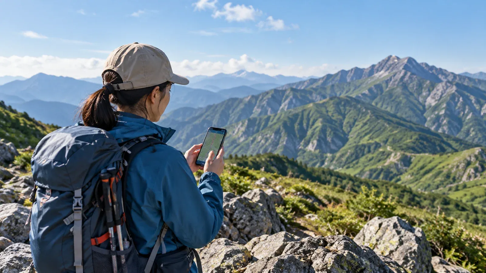
When someone is waiting for you to return from a hike, a location update can help them follow your progress. Hiking apps may send positions periodically or after a connection becomes available. Tell the person following your trip how the app works and what you want them to do if you miss a check-in.
GPS can determine your position even where your phone cannot send it. The person following you may see only the last point that reached the service. Check the timestamp as well as the pin. Always leave a trip plan and an independent way to know when to act.
How location sharing works and where it can fail
With ordinary phone-based sharing, the app estimates the phone’s position and uses mobile data or Wi-Fi to send it to the service. Satellite messengers use a separate satellite link. Some supported phones also offer manual satellite location updates or emergency messaging, depending on the model, software and country.
When mobile data drops out, updates may pause and some apps upload points later. YAMAP can also relay a point from another participating hiker once that device gets a connection. That depends on a compatible encounter and a later upload. Explain that an older point can appear after a delay and does not establish anyone’s current position.
A satellite device such as Garmin inReach can send track points outside mobile coverage with an active subscription and suitable sky visibility. Trees and steep terrain can delay delivery. Check supported features and costs for your device and plan, then practise outside before the trip.
What to agree on with family before sharing
Agree on how to read updates, what to do if you miss a check-in, and how you will keep the device powered.
Explain what a stalled update can mean
You may be stopped for a break, outside coverage, or unable to send because the phone has run out of power. Describe the parts of the route where you expect to lose service and when you expect to check in. Make clear which time on the app refers to the position, especially if points can arrive late.
Agree on emergency contacts and when to act
In Japan, call 110 for the police if someone is missing in the mountains or you need to report an accident. Call 119 for emergency fire, medical or rescue assistance. If there is an SOS, a reported injury or another clear sign of danger, seek help immediately. Give the dispatcher the route plan, last known point and its time, party details and phone numbers. A silent map alone cannot tell you what happened.
Check how long the battery lasts
Location tracking and sending updates both use power. The impact depends on the phone, app, signal and settings. Test the setup with the screen locked and the battery settings you will actually use. Carry enough power for the trip and possible delays, especially if you will stay overnight.
Setting up location sharing
Screens and permission options vary by app and operating system. Follow the provider’s current instructions and use the access needed for the feature you choose.
- Set up the account and permissions. If the app requires an account, use your own. Follow its guidance for location access and check that updates still reach the recipient when the phone is locked. Grant background access only if the feature requires it.
- Set up a link, code or recipient account. Choose a trusted person and confirm that they can open the view on their own device. A link or code may grant access to anyone who receives it, so share it privately and review access controls and expiration.
- Decide when sharing starts and ends. Some apps share only during a recording. Others have a separate switch or expiry setting. Start at the trailhead and confirm that the person waiting can see the trip. Stop sharing when the hike is over and check whether the link or history remains accessible.
- Send a test update. Use a public place with a reliable connection so the test does not give away a home address. Have the recipient read back the point and timestamp. Test with the screen locked and explain how a stale update looks.
Keep a trip plan and a check-in time
The person at home needs enough information to act even if no location updates arrive. Agree on the plan while both of you can still talk.
File and share a trip plan. Follow the local filing process and use a service such as Compass where accepted. Give a trusted person a copy with your route, alternates, party and expected return. Explain how to pass those details to responders.
Agree on the return message. Send it when you finish, and let your contact know about a change if you can. Set an overdue time that fits the route and conditions. If you miss it and your contact cannot reach the group, they should call the police and give the plan and last known details. An explicit sign of danger calls for immediate action.
Check likely coverage. A carrier’s map can help identify gaps. Terrain and conditions can affect reception, even within a coverage area. Plan a check-in around where you expect a connection and allow for gaps without treating the map as a guarantee.
Hiking with children or older relatives
Keep the party together and agree on a safe meeting point if separated. Use location sharing only with the participants’ knowledge and agreement, with a parent or guardian managing it where needed. Check who can open the link, how long data stays available and what the provider shares. Anyone following the group still needs the trip plan and check-in time.
Before your next hike
Pick one trusted contact, test the link or account together and agree on what to do if no update arrives. File your plan where required, leave a copy with that person, and send your return message when you finish. If you share a trip record later, review what it reveals about your route, timings and home area first.
References
- National Police Agency of Japan: mountain incident reports and safety guidance
- NTT Docomo: mobile coverage maps
- Compass: hiking plans and return notifications
References and sources
- National Police Agency of Japan: mountain incident reports and safety guidance
- NTT Docomo: mobile coverage maps
- Compass: hiking plans and return notifications
- National Police Agency: Japan’s 110 emergency number
- Fire and Disaster Management Agency: Japan’s 119 emergency number
- YAMAP: how location sharing works
- Apple: connecting to a satellite with iPhone
- Garmin: inReach tracking