
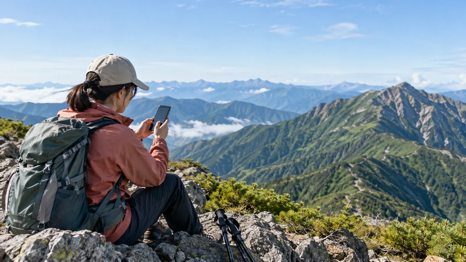
A phone can have service on one ridge and lose it in the valley below. Coverage affects calls and messages, and it can also determine whether your app can load a map or send your location.
This guide shows how to check likely coverage before hiking in Japan and how to plan navigation, check-ins and emergency communications if the connection drops.
Why mobile coverage varies in the mountains
A phone needs a link with a mobile base station for ordinary calls and data. Mountain networks are uneven. Carriers may add an antenna, a small station at a hut or seasonal equipment at a particular summit.
Steep slopes, ridges and vegetation can block or weaken signals. An open ridge sometimes has service from a distant station, while a nearby valley may have none. The result depends on terrain, equipment and the network. Keep to safe terrain if you lose reception.
Each operator places and configures its equipment differently. The same spot may have service on one network and none on another. The bands your phone supports and the service your plan includes also matter.
How to check coverage before leaving
Use the carrier’s coverage map
NTT Docomo, au (KDDI), SoftBank and Rakuten Mobile publish coverage maps. Use the map for your network, device and service. The colors are estimates, and coverage can vary within a marked area. Docomo and au also publish surveys for selected mountains. Check the survey date and the specific places tested.
Start with these four steps.
- Open your carrier’s official coverage map and check the date, legend and applicable service.
- Use a topographic map such as GSI Maps to locate the same route, including valleys, ridges and exits.
- Check the entire route, from the trailhead to your return point, and identify gaps or uncertain sections.
- Plan your check-ins and backups around sections where you may be unable to connect.
Use trip reports for local context
Look for recent reports that name the exact location, carrier and what worked, such as voice, SMS or data. Reports from Nordwand and other hiking communities can help. Devices and networks change, so use individual reports alongside carrier and local information.
Check with huts and local managers
A hut, visitor center or trail manager may know where a particular carrier works or whether the hut has Wi-Fi. Ask about the exact trail or facility and its operating dates. A connection at the hut gives you no information about the next valley or ridge.
Plan for stretches without a connection
Prepare to follow the route and manage a missed check-in without mobile service. A device may also lose power, be damaged or have trouble connecting in a covered area.
Make the map available offline
Download the map for the full route and alternatives before you leave. Save the route separately if the app requires it and test both without a network. GPS can estimate your location without mobile data where it receives enough satellite signals. An app still needs map data saved on the phone to show the surrounding terrain offline.
Carry a paper map and compass
Bring a paper map that covers the route and alternatives, plus a compass you know how to use. Keep them dry and within reach. Use the terrain and map to verify your position if the phone fails or its location is uncertain.
Plan more than one way to request help
In Japan, call 110 for police in a mountain accident or missing-person emergency, or 119 for emergency fire, medical or rescue assistance. Ordinary calls and SMS need a usable service. JAPAN Roaming began in April 2026 for qualifying disasters and communications failures. It depends on activation, coverage and device compatibility, so plan separately for routine mountain coverage gaps. A supported satellite SOS device or phone may be an option outside mobile coverage. Confirm how it works in the area and practice before departure.
File your trip plan through the appropriate local channel and give a trusted person the route, party details, expected return and when to call for help. If you reach an emergency dispatcher, give your last known location and the time of the fix, what happened and a callback number.
How carrier choice affects mountain coverage
If you can choose between networks, compare official coverage for the exact route and ask local operators about recent conditions. Look at voice as well as data support. The number of base stations nearby tells you little without knowing the terrain and the equipment’s coverage.
A compatible dual-SIM phone can carry a backup line on a different underlying network. Some brands share the same network, and a data-only plan may lack ordinary voice service. Check the actual network, device support and how to switch lines before the hike. Both networks can have gaps in the same area.
What to do when you have a connection
When service is available, use it for the check-in you agreed on and confirm that messages were delivered. Tell your contact about route or timing changes when you can. Signal strength, congestion and battery charge can change as you move.
Keep offline navigation, an independent trip plan and a way to seek help for the terrain you are entering. If a call fails, use the planned backup from a safe location. Assess the ground before moving to look for reception.
Before your next hike
Check your carrier’s map and compare it with the terrain. Download and test the route and surrounding maps, pack a paper map and compass, and share your itinerary and check-in plan. Confirm current access and any facilities you expect to use.
References
- Official mobile coverage maps for NTT Docomo, au, SoftBank and Rakuten Mobile
- Geospatial Information Authority of Japan: GSI Maps
- National Police Agency of Japan: mountain incident reports and safety guidance
- Local police and government mountain information
References and sources
- NTT Docomo: mobile coverage map
- au: mobile coverage map
- SoftBank: mobile coverage map
- Rakuten Mobile: mobile coverage map
- GSI Maps
- National Police Agency of Japan: mountain incident reports and guidance
- Nagano Prefectural Police: mountain information and trip plans
- NTT Docomo: hiking trail coverage
- au: hiking trail coverage
- JAPAN Roaming: joint launch announcement and activation conditions
- Fire and Disaster Management Agency: Japan’s 119 emergency number
- Apple: Emergency SOS via satellite
- GPS.gov: factors that affect satellite positioning