
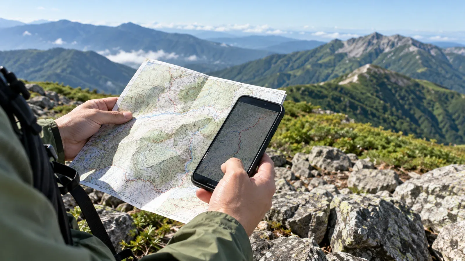
A line on your phone can still show a trail after a landslide, forestry work or a closure has changed it on the ground. A recent app version does not tell you when each map or route was updated. Check the data you will carry and the latest official trail notices before leaving.
This guide explains what can go wrong when maps are out of date and how to verify the route, base map and offline copy for your next hike.
Why map updates matter on the trail
A hiking map often combines a base map, which shows contours and features, with trail and route information. Route layers may add paths, estimated times and warnings. A saved itinerary or imported GPX track can be another separate item.
These layers can have different providers and update schedules. The Geospatial Information Authority of Japan publishes changes to its standard map. An app or a route publisher may update its trail layer on a different timetable, and a saved track may still show the route as it was recorded.
A landslide can close a trail without changing its overall topography. A detour may be marked on the ground before it appears in an app. Check that the route line still describes the route you are allowed and able to walk.
What can go wrong with an old map
Following a closed or abandoned trail
A trail authority can close a path after repeated landslides or fallen trees while the old line remains on the map. The location dot may still match the line. Stop at closures or unsafe ground and check the official information rather than looking for a way through.
Missing a new detour
A signed detour can take you away from the route line or trigger an off-route alert. Check signs and official notices. Follow an open, authorised detour when you can confirm it. Return to a safe point if you cannot establish a safe route onward.
Using old walking times or difficulty ratings
A change to the trail can add distance, ascent, crossings or more difficult sections. Check which route the time and difficulty describe and adjust your plan, including breaks and your turnaround time.
An offline copy differs from the online map
Offline maps use data on your device. How they refresh depends on the app. YAMAP says its downloaded maps update when you open the app with a connection. Other apps or separately saved routes can require an update or another download. Check the actual map and route you will use.
Three checks before departure
1. Check the app and the map data separately
Look at the map source and any date or version the app provides for the map and route. The date you installed the app or saved a route can be different from the date the provider last revised the trail. If the app gives no map date, use its help page and independent trail notices.
2. Refresh the offline map and route
While you still have Wi-Fi, follow the provider's instructions to refresh or download the map and route if needed. Include the return and alternate exits. Turn off mobile data and Wi-Fi, reopen them and check that the whole route and its trail details are visible.
3. Check the current trail with official sources
Look up the trail authority, park, municipality or hut for notices on storm damage, bridge removal, diversions and access to the trailhead. Nagano Prefecture's mountain information page is an example. Check dates and any conditions attached to a reopening.
How to evaluate a map or route source
Look for signs that the map or route description applies to your trip.
- Look for the provider and update information. Check who maintains the base map, trail layer and route, what each date refers to and how corrections are published.
- Read trip reports in context. Check when the hiker went, which direction and variant they used and what they observed. A track shows where someone travelled on that date. Check current access and safety separately.
- Cross-check independent sources. Use GSI Maps for the terrain and official notices for current access, closures and detours. Compare the maps with your saved itinerary.
If sources disagree, work out which part differs and why before making the plan final. Look for a more recent notice from whoever manages that stretch of trail.
Habits that help on the trail
Even a recent map can lag behind an unexpected closure. Keep checking your position and the next section at junctions and other identifiable points.
If the map and signs disagree, stop somewhere safe and verify the route. Follow official signs and closures. An old path or a line of footprints may lead away from the authorised route. Use a verified detour or turn back safely if you cannot confirm a way through.
Carry a current paper map, such as a GSI 1:25,000 topographic map where appropriate, and a compass. Mark any verified closure or detour on the map before leaving. You can use it when the phone or downloaded map is unavailable.
Your next step
Before the next hike, check your map and route, refresh them as needed and try opening both offline. Check the latest notices on the trail and trailhead. If the route has changed, revise the itinerary, time and return plan before leaving.
Official resources
- Geospatial Information Authority of Japan maps and standard map updates
- YAMAP’s downloaded map update guidance and Nagano Prefecture mountain information
- National Police Agency mountain incident statistics and Nagano Prefecture hiking safety guidance
References and sources
- Geospatial Information Authority of Japan: GSI Maps
- Geospatial Information Authority of Japan: standard map updates
- YAMAP Help: how downloaded maps update
- Nagano Prefecture: mountain access and trail information
- Nagano Prefecture: hiking preparation and safety
- National Police Agency: mountain incident statistics