
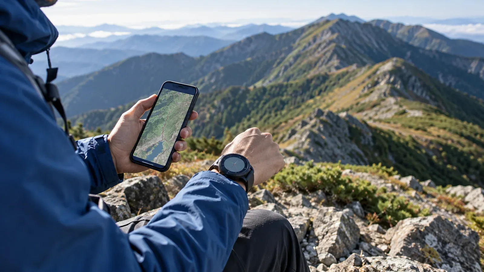
A GPS watch is convenient for a quick look at your progress. A phone gives you more room to read terrain and can handle calls and messages where the necessary connection is available. Start by deciding what you need to do on your route and which device will handle it.
This guide compares the two for navigation, trip recording and communication. Check the features of your actual model and practise with it before depending on it in the mountains.
What a GPS watch does well
A watch can put elapsed time, pace, estimated elevation or position at a glance, depending on the model and display you set up. Some also record heart rate. Stop in a stable place to look when the ground demands your attention, particularly on exposed terrain.
Check the published battery life for the satellite positioning mode (GNSS) you plan to use. Recording frequency, navigation, the screen, cold and battery condition can affect how long a device lasts. Some low-power modes take fewer position readings, so the track may miss short bends or changes of direction. Test the mode and leave a margin for delays.
A barometric altimeter estimates elevation from air pressure. Weather can shift the reading at the same spot. Calibrate it as the manufacturer recommends and compare with a known elevation when possible. Check the forecast and local conditions separately.
What a phone does well
A phone’s larger screen is easier to use for contour lines, the terrain around a junction and alternative routes. Some watches show offline maps with detail, while others display a route line with little background information. Check which map and scale are available on the watch itself.
Many hiking apps can display maps you downloaded in advance. Save the area and route separately if your app requires it. Test them with the network off. Calls, messages and remote location sharing depend on the relevant mobile, Wi-Fi or supported satellite service.
Cold, long screen use and continuous tracking can reduce battery life. Gloves, rain and falls can also make a phone harder to use or damage it. Carry it where it stays warm, dry, protected and reachable.
Choosing your main navigation device
Consider terrain, time, conditions and whether the device can do what you need with no signal. Carry a paper map and compass and know how to use them.
When a phone can be the main device
- A familiar day hike or a well-marked trail with clear junctions
- A route whose duration leaves a tested battery margin for delays
- Conditions in which you can keep the phone usable and protected
- An offline map tested in advance and enough backup power for the trip
When a watch is useful as the main display
- A long day or multi-day route with a tested recording mode and charging plan
- Cold conditions where the phone is easier to keep protected and the watch remains usable
- Sections where you can glance at the watch from secure footing without unpacking the phone
- Trail running or other trips where quick checks are useful, with time to stop at complex junctions
A GPS receiver alone cannot send an emergency call. Carry a charged phone or another suitable means to request help for the area, and leave a route plan and return check-in with someone. Check the coverage and device requirements before leaving.
How to split tasks between the two
When you bring both, decide which device you will consult on the move, which has the detailed map, and how you will keep a way to communicate.
On the watch
- Quick checks of position, estimated elevation, pace or time
- Heart rate trends where supported, alongside how you actually feel
- Off-course alerts on compatible models, checked against the terrain and map
- Recording the track and elapsed time
On the phone
- Reading the surrounding contours and comparing route options
- Calling for help and sharing location when a suitable connection is available
- Checking position and the next part of the route from a safe stopping point
- Reviewing and managing the record after the hike
If you use airplane mode to conserve power, check in advance that offline maps and positioning still work in your setup, and know how to restore the connection. Keep the phone available for agreed check-ins and emergency use. When recording on one device, monitor both batteries and protect the backup.
Specifications to check before buying
Compare the manufacturer’s figures for the exact model and features you plan to use.
- Battery life during GNSS recording. Look for the runtime of the specific positioning mode, with navigation and the screen settings you expect to use.
- Satellite systems and frequencies. A compatible receiver can combine GPS with Japan’s QZSS and other systems. Multi-band reception can help in some conditions. Trees, cliffs and reflected signals can still degrade accuracy.
- Map display. Check whether the watch shows a route line, offline topographic maps, or a map that needs a paired phone. Verify coverage in Japan.
- Barometric altimeter. Check how it is calibrated and how the device handles weather-related pressure changes.
- Water resistance. Check the rating and the manufacturer’s permitted uses for the exact model. Resistance can decline with wear.
- Route transfer. Confirm that your app, phone and watch can share the file and that the course is accessible offline.
A watch with a few features you have tested can cover the needs of many day hikes on marked trails. Prioritize readability, the functions you can use with gloves, battery margin and the offline information you will actually consult.
Using a watch with a map app
Check which file formats and transfer method your device supports. Garmin Connect, for example, can import GPX, FIT or TCX courses and send them to a compatible device. Transfer a familiar route while you have a connection, then open it on the watch with the phone disconnected. Compare the route, direction and key junctions.
Some watches offer turn prompts or off-course alerts, and the details depend on the model and the course. If an alert or position disagrees with the terrain, stop safely and check a map, compass and known landmarks before moving. A route line can reflect an old or incorrect plan.
Before your next hike
Decide where you will read the map, record your progress and call for help. Try the setup on a familiar route with the same settings you expect to use. Compare the battery remaining, how easy it is to read the map and whether the route is available offline. Make sure your paper map, compass and trip plan cover the route as well.
References and sources
- GPS.gov: factors that affect GPS accuracy
- Japan’s Cabinet Office: overview of QZSS (Michibiki)
- Suunto: GPS sampling and battery modes
- Apple: using offline maps on Apple Watch
- Apple: Apple Watch water resistance
- Apple: device operation in hot or cold conditions
- Garmin: calibrating a watch’s barometric altimeter
- Garmin: importing a course into Garmin Connect
- National Police Agency of Japan: mountain incident reports and safety guidance