
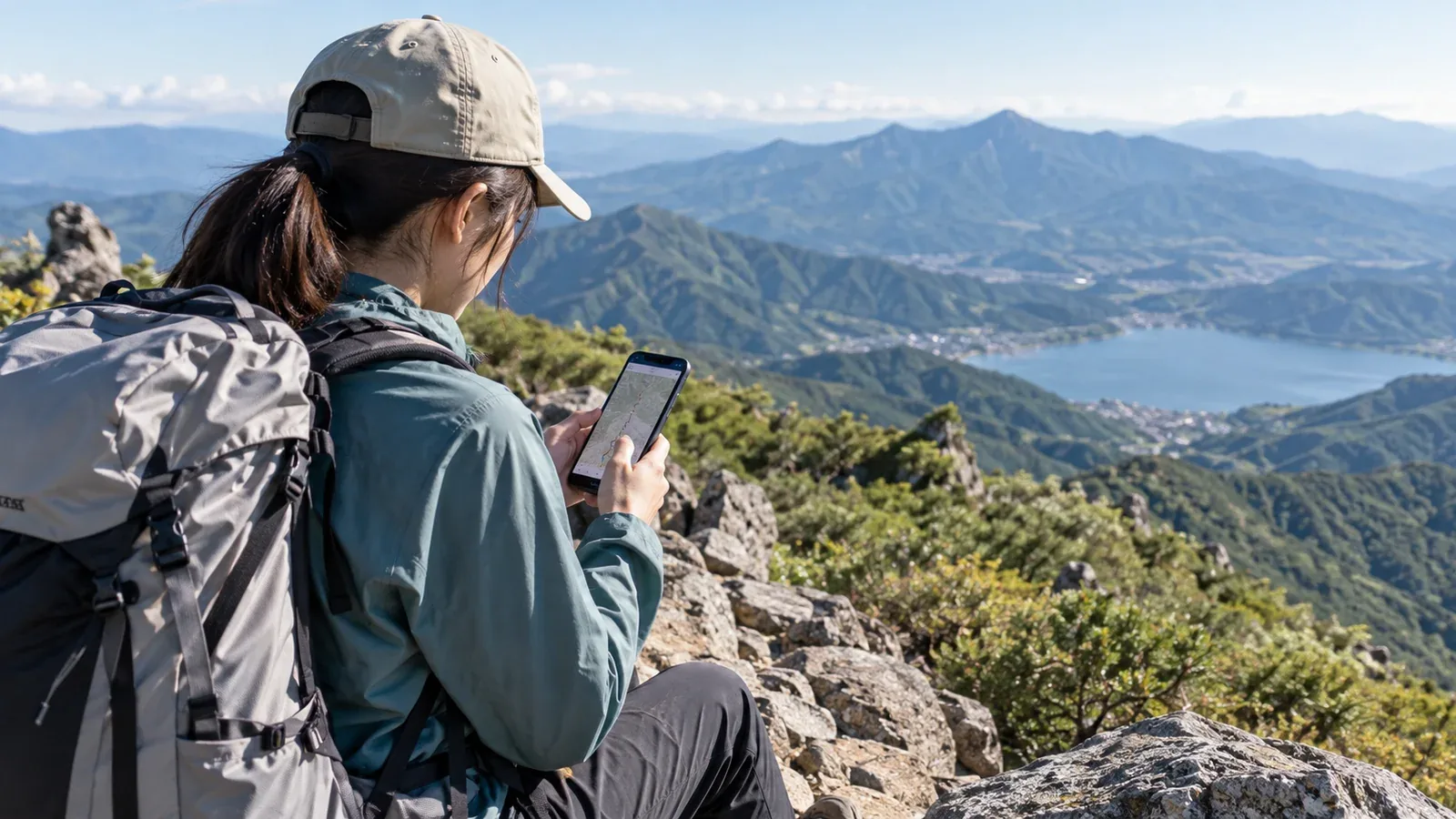
One app may call a route easy while another describes it as moderate. Check that both are describing the same trailhead, direction and route. A short ascent on one side of a mountain can have very different demands from a traverse or a loop to the same summit.
Rating scales are not directly interchangeable. Some are single labels, while others separate physical effort from technical difficulty. The value of each rating depends on how it was made and the route and conditions it applies to.
Use this guide to find the figures behind a label, identify what may be missing and compare them with your own experience and recent trail information.
What goes into a difficulty rating
Look for three kinds of information in the route description and the app's explanation of its ratings.
First, terrain measurements include total distance, cumulative ascent and descent and steepness. Even when two apps use the same elevation data, different route lines, sampling and smoothing can produce different totals. Compare the same itinerary and use the figures as estimates.
Second, estimated walking time and how it was set affect the apparent effort. The time may come from a published route guide, a terrain model or recorded trips. Check whether it includes stops and which direction it describes.
Third, the character of the trail can matter more than the distance suggests. Look for exposed scrambling, chains, ladders, stream crossings, poor footing or difficult navigation. A description or warning may give detail that a short rating leaves out.
Why apps can disagree
Read the source of each rating. These differences explain why one label is hard to match to another.
The reference hiker. Look for the skills, pace and conditions the provider assumes. Nagano Prefecture's route grading, for example, separates physical effort from 1 to 10 and technical difficulty from A to E for snow-free routes in good weather. Check both grades for the specific itinerary.
Use of community data. Apps may include user reviews or recorded activities. AllTrails documents community input and uses four difficulty labels. A set of recent reports can help, but check their dates, route variants and conditions. A fast group's time is just one example.
How difficult sections are treated. A short exposed scramble or a chain section may be easy to miss in a rating for a long route. Read where it is, how long it lasts and what skills it requires. YAMAP's model courses publish a five-level measure of physical effort. Check the route description separately for technical sections.
Season and snow. A rating may describe a snow-free trail. Find out whether a winter route is shown separately and when snow, ice or closure notices apply to your itinerary.
A five-step check before choosing a route
Start with the route details. Use the label to decide what to investigate next.
- Check elevation change and distance. Compare total distance and cumulative ascent and descent with recent hikes of a similar type. Check direction, route variant and any planned detours. Read the elevation profile to see where steep sections fall.
- Check the source of the walking time. Look for a route guide, model or recorded walks. Check whether the figure includes stops. If the source is unclear, allow extra time and set a turnaround point.
- Read the difficult sections. Look for chains, ladders, scrambles, fords, exposure and steep descents in the route description and recent reports. Consider the most demanding section for the least experienced person in your group.
- Compare independent sources. Read the local authority, park, hut or trail operator's latest information. Compare another map or guide and check trailhead notices. Follow posted restrictions.
- Know your own pace. Compare the published time with your moving time and total elapsed time on similar trips. Account for your group, pack, elevation, surface and expected weather before applying the comparison.
Where a rating can understate the demands
Pay particular attention when any of these factors applies to your route.
A long or steep descent. Descending on loose, rocky or slippery ground can slow the group and tire legs and knees. Check how much descent remains late in the day.
A long day. For a route that may take 8 to 10 hours, plan for fatigue, stops, daylight and the weather. Work back from the safe time to be off exposed sections and reach your exit.
High elevation. Consider sleeping altitude and the rate of ascent separately from the trail rating. The CDC notes that unacclimatized people can be at risk when sleeping at 2,450 m or higher, sometimes lower. If you have a relevant health condition, ask a clinician familiar with high-altitude travel before the trip.
Snow or ice. Check for residual snow, morning ice, winter route changes and closures. A snow-free grade gives little guidance on the skills or equipment needed in snow. Choose another route or postpone if the conditions exceed your experience or equipment.
Where to verify the conditions
Use information from the people who manage the route and the organisations that monitor weather and incidents.
- Local authorities and national parks. Check closures, detours, access limits and route warnings on official sites or signs.
- Mountain huts and trail operators. Check dated reports on snow, mud, rockfall or damage and confirm whether the hut is open.
- Weather information. Check Japan Meteorological Agency warnings and the forecast for the route's elevation and time, especially for wind, precipitation and visibility.
- Police and rescue services. Look at local mountain safety notices and incident reports for recurring hazards and the conditions when they occur.
Your next step
Look up the rating method in the app you use. Compare a route you know well with its stated distance, ascent, walking time and technical sections. Use that comparison and the latest official notices when you plan your next trip.
Official resources
- Geospatial Information Authority of Japan elevation data and Nagano Prefecture route grading
- YAMAP and AllTrails explanations of their ratings
- Ministry of the Environment park information and Japan Meteorological Agency weather guidance
- National Police Agency mountain incident statistics and CDC guidance on high-altitude travel
References and sources
- Geospatial Information Authority of Japan: digital elevation models
- Nagano Prefecture: physical and technical route grading
- YAMAP Help: model courses and physical effort
- AllTrails Help: difficulty ratings
- Ministry of the Environment: Japan’s national parks
- Japan Meteorological Agency: weather guidance for hikers
- National Police Agency: mountain incident statistics
- CDC Yellow Book: high-altitude travel and altitude illness