
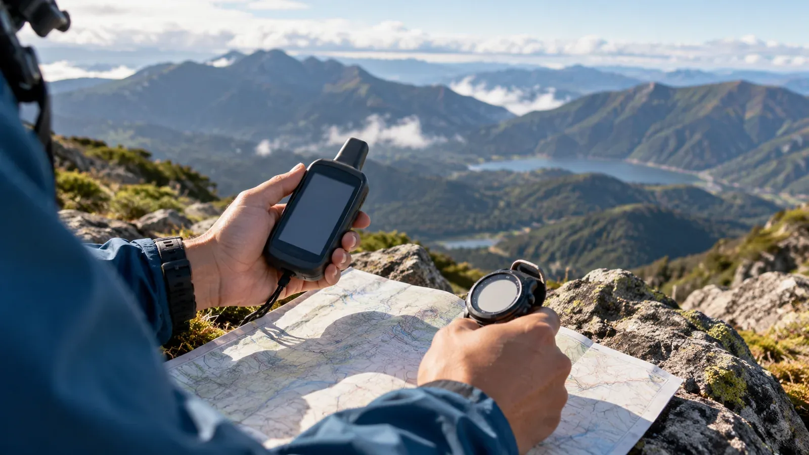
Elevation can help you place yourself on a trail and check how much climbing remains. A barometric altimeter estimates height from air pressure. A GPS altimeter estimates height from satellite signals. A device or app may use both or look up the elevation from a map.
The most useful reading depends on the terrain, reception, weather and device settings. This guide explains how to compare them and how to check a reading against a known place.
How a barometric altimeter works
Air pressure generally falls as you climb. A barometric altimeter measures the pressure and uses a reference and an atmospheric model to estimate elevation. This type of sensor is common in dedicated altimeters and outdoor watches.
It can show relative climbs and descents clearly. When pressure is stable, you can follow short changes in elevation and check them against the contours near a known trail junction, ridge or saddle.
Weather changes can shift the reading. At a fixed location with the same calibration, falling air pressure can make the displayed elevation rise. Rising pressure can make it fall. The amount and direction of drift depend on the conditions and how the device processes the reading.
The practical response is to calibrate at a known elevation. Use a reliable altitude for the exact place where you are standing, such as a marked survey point or a clearly identified landmark on an official map. Recheck at suitable points if the weather changes or the number no longer matches the terrain. Follow the device manual.
How a GPS altimeter works
A satellite receiver uses signals from several satellites to estimate a three-dimensional position. Raw satellite height is relative to an ellipsoid. The elevation on a Japanese topographic map is tied to a vertical reference based on sea level. Devices may convert the satellite height, use a map elevation or combine sources. Check what your device displays.
A satellite estimate does not depend directly on local air pressure. It can provide position and height together. Reception, satellite geometry, atmospheric propagation and receiver processing still affect the result.
Vertical accuracy can be worse than horizontal accuracy. Trees, steep valley walls and rock faces can obstruct or reflect signals. A reading can jump or retain a bias. Avoid assuming a fixed error for your phone or watch.
Position update frequency depends on the device, app, power mode and permissions. Check whether the elevation updates as you walk and whether it continues when the screen is locked. Longer intervals can leave gaps in the recorded profile.
How the two error patterns differ
Compare how the numbers behave over time and where the device gets them.
- Main sources of error. A barometer responds to weather and altitude. Satellite height depends on geometry, reception and processing.
- Patterns. Pressure readings can drift during a weather change. Satellite heights can jump or show a steady offset.
- Reference. A barometer can be calibrated at a known elevation. For GPS, check reception and whether the displayed height uses the same reference as the map.
- Updates. Both depend on the device and mode. A pressure sensor can provide a smooth short-term trace.
- Battery use. Consumption depends on the device and recording mode. Continuous satellite reception, map use and the display can add to the load.
Pressure-based readings can drift while you stay in one place. Satellite-based readings can jump or keep an offset, including an offset caused by different height references. Compare both with a known point before interpreting the difference.
When to use each reading
Checking position against the map
Use a calibrated altimeter to narrow down possible places along a known ridge, slope or trail. Match the elevation to contours and confirm with terrain, direction and landmarks. Many places can share the same elevation.
Watching for weather changes
At a fixed elevation, pressure trends can help you notice a change. While climbing or descending, altitude itself changes the pressure, so check the sensor mode before interpreting the graph. Consult Japan Meteorological Agency information and the local forecast, and watch what is happening around you.
Checking a ridge position in poor visibility
With a reliable fix, a satellite receiver provides coordinates as well as height. Pause on safe ground and compare the position with your map and compass. Check the age and accuracy of the fix before acting on it. Avoid moving towards an edge to make the dot match the map.
A long traverse
Check the barometric reading at reliable reference points and recalibrate if needed. Plan battery life for the navigation mode you use. Before departure, test your offline map and location with Wi-Fi and mobile data off, and carry a working cable and power bank if needed.
Choosing a device and checking its readings
Some outdoor watches combine a pressure sensor with satellite positioning. Automatic calibration may use satellite or map elevation depending on the model and settings. Phones can also use several sources. Check how the displayed elevation and track profile are calculated.
The same principle applies to both types. Use the altimeter as one input when checking your location. Match contours, ridge shapes, landmarks and compass bearings with an up-to-date map. Carry a paper map and compass and practise using them before you need them in poor visibility.
Your next step
Try both readings at an identifiable point with a published elevation. Calibrate your barometric sensor if it allows it, and check how your device labels satellite or map elevation. On your next hike, compare readings at a second known point and note the conditions and battery use.
Official resources
- National Weather Service on atmospheric pressure and Japan Meteorological Agency forecasts
- Geospatial Information Authority of Japan on elevation and geoid references, and GPS.gov on accuracy
- Garmin altimeter settings and Nagano Prefecture mountain safety advice
References and sources
- National Weather Service: atmospheric pressure and elevation
- Garmin: altimeter and barometer settings and calibration
- Geospatial Information Authority of Japan: Japan’s geodetic and height references
- Geospatial Information Authority of Japan: elevation, geoid and ellipsoidal height
- GPS.gov: factors affecting positioning accuracy
- GPS.gov: horizontal and vertical service performance
- Japan Meteorological Agency: current forecasts
- Nagano Prefecture: mountain safety and preparation