
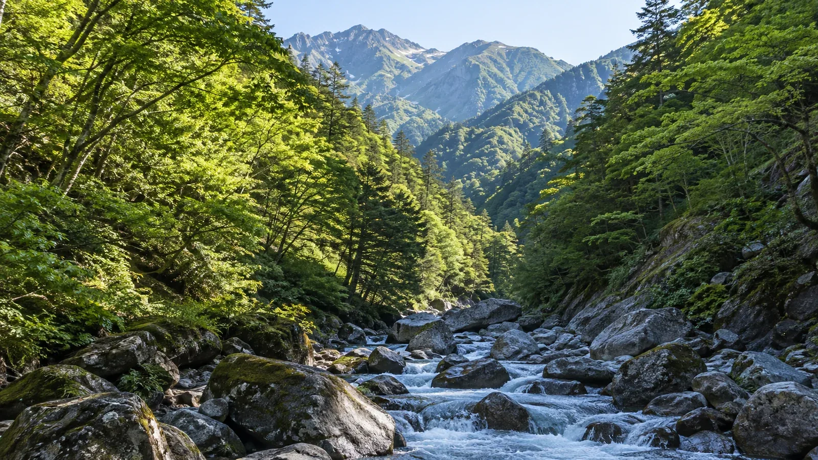
A GPS watch or phone can show your position on the trail along a ridge, then jump well away from it as you descend into a valley. The dot may wander off the path under trees as well. These errors can occur even when the device is working normally.
Understanding where errors come from helps you decide when to check the display against other information. The device is one of several tools you can use to work out where you are.
Why GPS needs a view of the sky
A GPS receiver estimates its distance from several satellites using the timing of their signals. A conventional three-dimensional fix uses at least four satellites to solve for position and the receiver’s clock offset. A wider spread of usable satellites usually gives better geometry. The number alone tells you little about accuracy.
The visible sky matters. A cliff or steep valley wall can block signals that would reach the receiver on an open ridge. Trees can weaken and scatter signals from above.
A signal can bounce off rock or another surface before reaching the receiver. This is called multipath. A reflected signal takes a longer path and can bias the distance estimate. Depending on the surroundings, the receiver can pick up reflections even when some direct signals are blocked.
What happens under trees
Leaves and branches can weaken or scatter satellite signals. Dense broadleaf and conifer forests can both make reception worse. The effect depends on canopy, satellite geometry and the device’s antenna and processing.
An unstable fix can drift even while you stand still. On a recorded track, the drift can look like a jagged line or movement away from the path. It can also occur outside forests when reception or positioning is unstable.
Elevation from satellite positioning is often less precise than horizontal position. The reading can also depend on the device’s elevation reference or whether it uses a barometer. Cross-check with contours and known elevations. A barometric altimeter can help when calibrated, and its reading can change as air pressure changes.
How GPS errors show up in valleys
Valley walls can block parts of the sky and leave the receiver with satellites bunched in one direction. Reflections can distort the fix further. In tight terrain, even a small error matters if paths are close together or separated by a stream, cliff or steep slope.
You may notice these patterns.
- The dot jumps to the opposite side of the valley. Treat the jump as uncertain and check it against what you can see before choosing a route.
- The track seems to follow a side stream. Near a junction, an offset can place the dot on the wrong branch. Check which way the water and valley run on the map.
- Distance accumulates while you stand still. Drift can add distance to the track and skew pace or arrival estimates.
A phone, handheld receiver and watch can all show these effects. Antennas, satellite systems, frequencies and filtering can change the size and shape of the error.
When to put more or less weight on the display
Judge a fix in the context of the terrain and the last position you could confirm.
Conditions that tend to give a better fix
- An open ridge or summit with a wide view of the sky
- Open grassland or snowfields away from steep walls
- A clear view in several directions, by day or night
Places to be especially cautious
- Deep valleys and stream gullies with steep sides
- Dense forest with heavy canopy
- The base of a rock wall or terrain boxed in by rock
- Near buildings, bridges and tunnels, where signals can be blocked or reflected
If the device shows an accuracy radius, signal quality or satellites used, read it as a clue. Android’s location interface, for example, defines its horizontal radius at an estimated 68% confidence level. Other devices and apps can show different measures. There is no universal distance below which the dot confirms which side of a stream or junction you are on. Check what your app displays and compare the fix with the ground.
Checking your position against a topographic map
When the fix is unstable, use the topographic map to match the landscape you can identify. This gives you a second way to test the location.
A practical sequence
- If the dot looks wrong, stop somewhere safe. Give the device time to update and see whether the position settles.
- Use the last point you confirmed. Compare nearby features such as a stream junction, a turn in a ridge or a change of slope with the contours and map symbols.
- Compare the GPS position with those features. If you still cannot reconcile them, avoid moving into unfamiliar terrain to follow the dot. If you can safely do so, return along the known route to your last confirmed point.
- Pick the next distinct landmark in advance and confirm it as you go.
GPS updates can help you follow progress. A topographic map and compass let you check the shape and direction of the route. Use the tools together when the trail or the position is uncertain.
Carry a paper map that covers the area and a compass, and practise using them. They remain available if the phone battery dies or the app stops working.
Before your next hike
Check how your app or receiver shows position quality and practise reading it in familiar terrain. Look for deep valleys, thick forest and junctions on your route beforehand. When you are online, recorded routes shared in the Nordwand community can help you see where a route goes. Shared tracks can contain the same positioning errors, so check the route against a map and current local information.
References
- Geospatial Information Authority of Japan: GPS surveying and standalone positioning
- National Police Agency and prefectural police: mountain incident reports
- Japan Mountain Guides Association: mountain safety and trip planning
References and sources
- Geospatial Information Authority of Japan: GPS surveying and standalone positioning
- GPS.gov: positioning accuracy, signal blockage and reflections
- GPS.gov: horizontal and vertical service performance
- Android Developers: estimated horizontal accuracy radius
- Garmin: barometric altimeter and calibration
- National Police Agency of Japan: mountain incident reports
- Japan Mountain Guides Association: mountain safety handbook