
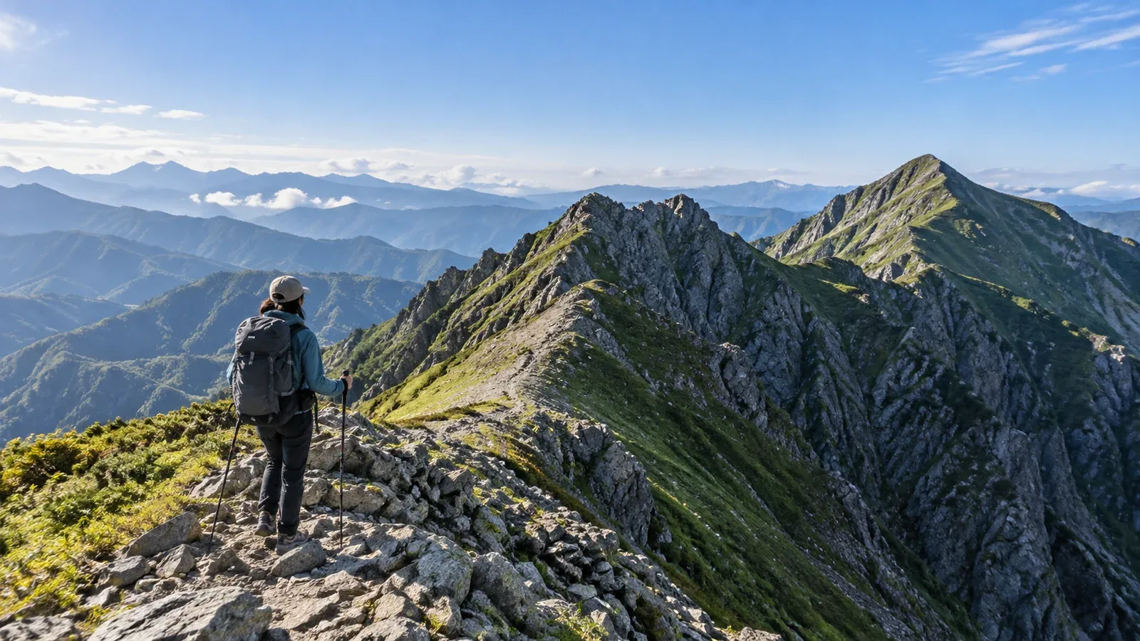
Hiking guides and route maps may suggest resting at a col, caution you about a kiretto notch or promise views after the second peak. These terms describe landforms. Understanding them helps you read maps and judge a route’s difficulty.
You can walk a route without knowing the terms, but knowing what terrain to expect makes it easier to choose equipment and pace yourself. This guide covers terrain words that often puzzle beginners, along with what each landform means in practice.
A dip along the ridge: the col
A col is a saddle-shaped dip on a ridge. It is a low point between two peaks and is also called a saddle. On a map, look for V- or U-shaped contour lines bending into the ridge.
Cols matter to hikers for three main reasons.
- A natural crossing point. Crossing a ridge at its lowest saddle usually takes less effort, and many trails are routed through cols.
- A place where wind can pick up. Air moving between the two slopes can make a col windier than other parts of the ridge. Check whether there is shelter if you plan to stop there.
- A point where paths split. Paths to another ridge or a valley often branch at a col. Use it as a reminder to check the map.
Some cols have a mountain hut or emergency shelter. Many Japanese place names ending in nokkoshi or tōge refer to cols or passes.
A deep gap in the ridge: the kiretto
A kiretto (切戸) is a rugged notch where rock drops steeply away along a ridge. Like a col, it is a dip in the ridge, but the slopes on either side are steep and the route involves climbing and descending rock.
On a map, look for tightly packed contour lines and symbols showing steep slopes or rock. A map alone cannot tell you exactly how steep a notch is. Check route reports or guidebooks beforehand to see whether there are fixed chains or ladders and what to expect if the rock is wet.
Keep the following points in mind when crossing a kiretto.
- The descent often comes first. Many routes go steeply down into the notch before climbing back out. It is easier to slip on the descent, so check each foothold.
- The exposure can feel intense. A sharp drop can bring out a fear of heights more than usual. Knowing how you react to exposure helps you choose a route.
- Respond to changes in the weather. Wet rock offers much less grip. Crossing in or after rain is riskier regardless of skill. Check the forecast before leaving and decide in advance what will make you turn back.
Several kiretto in the Japanese Alps have names of their own. Named notches are often regarded as challenging and are generally attempted after gaining experience. If you are new to hiking, assess such routes carefully and consult a certified guide if you are unsure.
A high point: the peak
A peak is a summit or a high point that stands out on a ridge. A mountain with several peaks may have a first peak and a second peak. The highest point is the main summit. A lower point may be called a subsidiary summit or a shoulder.
The number matters when you plan a hike because climbing and descending several peaks on a ridge traverse increases cumulative elevation gain. Judging effort by horizontal distance alone can leave you more tired than expected. Check the ups and downs on a route map or an app’s elevation profile before leaving.
Watch for false summits. As you climb, a rise against the skyline can look like the top, only to turn out to be a shoulder or a lower peak in front of it. When tired or mentally drained, it is easy to assume you are nearly at the summit and underestimate the remaining route. Check your position regularly with a map and an altimeter or the elevation display in a GPS app.
Practising all three on a map
The words make sense when you match them to an actual map. Work through the following steps.
- Look at the contour shapes. Closed rings indicate a peak. A V-shaped dip on a ridge indicates a col or saddle.
- Read the elevations. A col sits below the surrounding points and a peak sits higher. Reading the figures aloud can help you picture their relationship.
- Look for rock and steep-slope symbols. A col marked with rock or a steep slope is a candidate for a kiretto.
- Compare the map with the mountain. Even on easy routes, identifying the col you are standing on repeatedly will improve your map reading.
The Geospatial Information Authority of Japan publishes material on topographic-map reading. An offline map downloaded to your phone also makes it easier to check the terrain on the trail.
Why Japanese guides mix loanwords and local terms
Col comes from French and peak from English. The Japanese word kiretto is also written 切戸, and on the Toyama side of the Japanese Alps such notches may be called mado, meaning “window”. Western mountaineering brought new vocabulary to Japan between the Meiji and Taishō eras. Names such as nokkoshi and tōge, and descriptive terms for a saddle or rocky ridge, are still used alongside it.
The terms are easier to sort out once you see that several can describe the same landform. Note the equivalents in a notebook: col and saddle, kiretto and steep rocky notch, peak and summit. It will help you read guidebooks that use different terms.
What to do next
Open your map or the topographic view in an app and count the cols and peaks on a route you would like to walk. Compare this with cumulative elevation gain to estimate difficulty. If the route includes a kiretto, check the local authority or hut’s official guidance for difficulty and equipment. You can also use Nordwand’s guide service to consult a certified professional.
References
- Geospatial Information Authority of Japan: list of map symbols
- Japan Mountaineering and Sport Climbing Association: mountaineering technique materials