
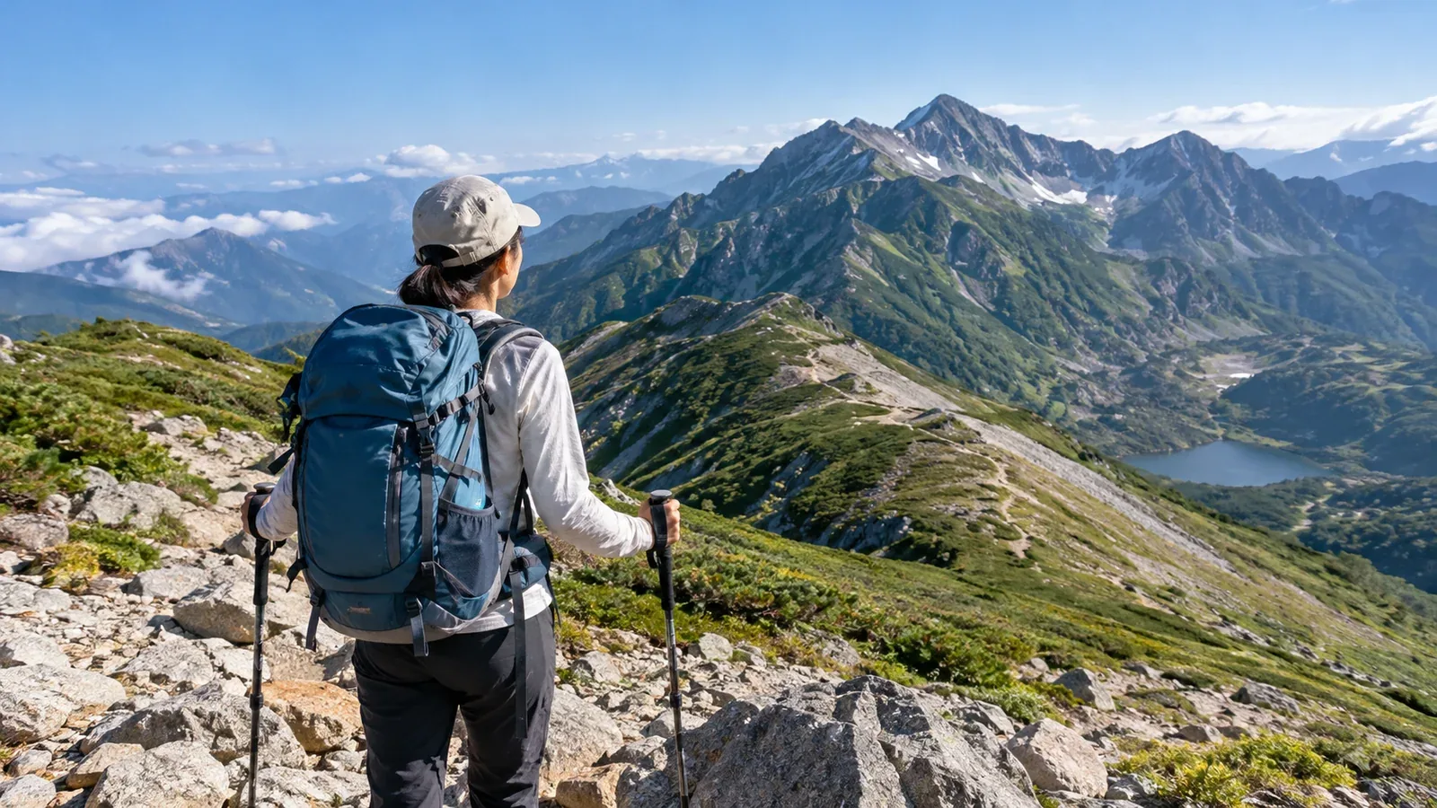
What’s a col? What does CT mean? New hikers meet unfamiliar words every time they open a guidebook or trail map. Hiking has hundreds of terms covering terrain, gear, weather, health and etiquette. Each is easier to remember when you know what it helps you do.
Here are useful terms grouped by when you are likely to meet them. Learn what each means and what you may need to check before acting on it.
Terrain and places
These terms help you read maps and check routes, interpret signs and follow information from other hikers.
Ridge (one). A raised line of land running from a summit. Rainwater drains on either side. If you lose the route, stop and work out where you are. If you can identify the way you came and safely retrace it, go back to the last point where you knew your position.
Valley and stream (tani and sawa). Low terrain where water collects and flows. Find out what happens when water rises on trails that follow a valley.
Col. A low saddle between two summits, often a point you pass along a ridge. Match a named col on the map with your surroundings to help locate yourself. Saddle and pass describe related features.
Ridgeline (ryōsen). The line along the tops of connected ridges. It offers views but also exposes you to lightning and wind. Finding the route can be difficult in poor visibility.
Peak or summit. The top of the mountain. To reach or tag a peak is to stand on it.
Trailhead (tozanguchi). The start of a trail. Check bus or car access, toilets and whether there is a box for filing a hiking plan.
Mountain hut (yamagoya). A place to rest or stay overnight in the mountains. Huts can offer water, meals and shelter. Check official information for opening dates and reservations.
Designated campsite (bakueichi or tenba). A place where tents are allowed. In many mountain areas, camping outside designated sites is prohibited. Check the local authority's or land manager's rules.
Route and map terms
CT, or course time. The reference walking time printed on many Japanese maps and guidebooks. Fitness, load and weather affect your actual time, so add a margin that fits you.
Elevation difference (hyōkōsa). The difference in altitude between the trailhead and summit or destination. To assess the effort, look up cumulative ascent and cumulative descent, the sums of the uphill and downhill portions separately.
Escape route. An alternative descent you can use when weather turns or someone feels unwell. Identify it while planning.
Route finding (rūfai). Using a map, compass and landforms to choose the way when the route is unclear. Start on well-marked, maintained trails while you build experience.
Cairn (kerun). A pile of stones that may mark the way in snow or mist. Some were built by visitors as keepsakes, so check them against the map.
Tracks (torēsu). Footprints left in the snow by people ahead. In poor visibility, use your own map to check where they lead.
Gear
Layering. Wearing clothes in layers. The basic system is a moisture-wicking base, an insulating middle layer and a windproof or waterproof shell. Add and remove layers as temperature and effort change.
Gore-Tex. A brand of waterproof, breathable materials used in rainwear and boots. Compare product specifications and distinguish it from other waterproof, breathable fabrics.
Shell or rainwear. A waterproof jacket and trousers that help protect you from both rain and wind chill. Keep them in your pack.
Backpack (zakku). Hiking packs are measured in litres. Rough starting points are 20–30 L for a day hike and 40 L or more for overnight trips. Try a pack with your actual gear.
Trail food (kōdōshoku). Food you eat during the hike. Rice balls, bread and dried fruit contain carbohydrates. Nuts and chocolate are also easy to carry.
Emergency blanket. A light reflective sheet you wrap around yourself to reduce heat loss and block wind and rain. Carry insulating clothing as well.
Headlamp. A light worn on the forehead for a late descent or a dark section of forest. Check its charge or bring spare batteries.
Trekking poles. Poles that assist walking, help with balance and can reduce strain on your knees downhill.
Weather and safety
Altitude illness (kōzanbyō). Illness related to lower air pressure and less available oxygen at altitude. Headache, nausea and fatigue are common. Pay attention from around 2,500 m, with individual variation. Stop ascending if symptoms appear and descend safely if they worsen. Call for rescue immediately for severe symptoms such as confusion or inability to walk straight.
Hypothermia. A drop in core body temperature due to cold, wind or wet conditions. Early signs include shivering and impaired judgment. Find shelter and insulate the person. Change wet clothing only when sheltered and safe to do so. If awareness changes or the person cannot walk independently, call for rescue and do not force them to walk.
Mist or low cloud (gasu). Cloud or fog can cover the mountain and reduce visibility to a few metres, making it easier to lose your way.
Lightning. Exposed summits and ridges are particularly vulnerable. Plan to stay off exposed ridges if thunderstorms are forecast. Check Japan Meteorological Agency warnings and area forecasts before and during the hike.
Hiking plan (tozan todoke). A plan filed before the hike that helps narrow the search area in an emergency. Depending on the region, submit it to the police, at the trailhead or through an online service.
Emergency bivouac. An unplanned night out, for example in a light bivy shelter. Decide early, before dark, if weather worsens, you run out of strength or you cannot find your route.
How you feel and how you move
Pacing. Adjusting speed to keep fatigue from building too fast. A common approach is to take the first hour slowly as you warm up.
Exhaustion (bateru). Being too tired to keep moving normally. Inadequate food and fluid can contribute. Regular snacks and fluids help.
Bonking (sharibate). Running low on energy because you have not eaten enough. Shari is a word for rice. It is a hiking expression rather than a diagnosis. If symptoms are mild and you are fully alert, rest and take carbohydrates. Call for rescue immediately for confusion or fainting.
Dehydration. A shortage of water after losing fluid in sweat and breathing. Carry water to suit the temperature and effort. Drink to thirst and avoid forcing large amounts.
Muscle soreness. Often noticeable one or two days after a hike. Descents load the front thigh muscles. Slightly bending the knees as you step can help absorb impact.
Etiquette and hiking culture
Mountain rescue insurance. Insurance can cover costs incurred for private rescue or helicopter transport. Charges depend on who performs the rescue and where. Check the insurer's official terms for covered activities, limits and exclusions.
Litter left behind. Pack out everything you bring into the mountains.
Passing and yielding. On a narrow trail, uphill hikers generally have priority. Use judgment when someone descending cannot stop safely.
Map and compass skills. Learn to navigate with a topographic map and compass so that you can continue to orient yourself if a device loses charge or signal.
Try these terms on a map
Pick up a map, such as a 1:25,000 topographic map from Japan's Geospatial Information Authority, and look for the terrain terms. Use Nordwand's Hundred Famous Mountains explorer or shared hiking logs to see how experienced hikers use them. For unfamiliar terms, consult the local authority and mountain huts for your route and use what you learn when planning.
Further reading
- Geospatial Information Authority of Japan, reading maps
- National Police Agency of Japan, annual mountain incident reports
- Japan Meteorological Agency, mountain weather information
- Hiking plan guidance from prefectural police and mountain rescue teams
References and sources
- U.S. National Park Service, what to do if you get lost outdoors
- U.S. CDC, High-Altitude Travel and Altitude Illness
- Wilderness Medical Society, hypothermia practice guidelines
- Japan Meteorological Agency, staying safe in lightning
- U.S. CDC, Heat and Cold Illness in Travelers
- Matsumoto Police Station Council, charges for private mountain rescue
- Japan Ministry of the Environment, Chubu-Sangaku National Park visitor rules