
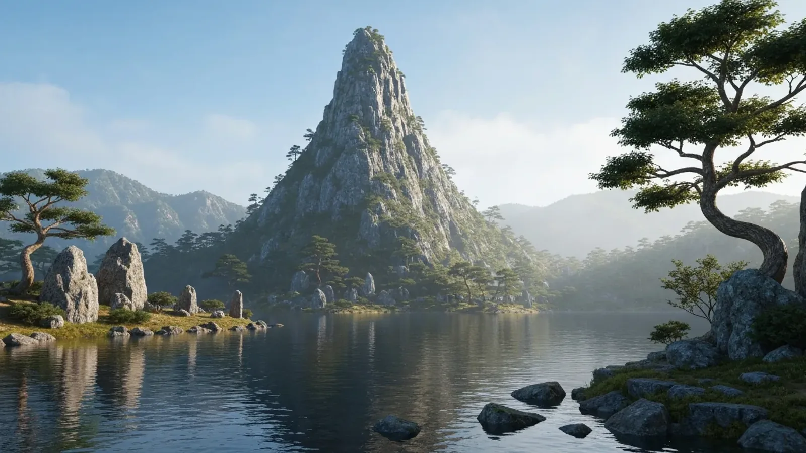
Tsurugidake, Yarigatake, Hakusan. Once you know a mountain’s name, its rocky peaks and lingering snow may look different. Japan’s mountain names preserve something of the landscape, local faith and the languages once and still spoken there.
How mountain names get onto maps
The Geospatial Information Authority of Japan uses records from municipalities to label major peaks on its topographic maps. To learn how a name is used locally, look at municipal records and local histories as well as the map.
A mountain may have another name, or a mountain group and its individual peaks may have separate names. The authority’s list of elevations gives the collective name for mountains with several peaks, adding summit names or alternatives shown on maps where appropriate.
A map shows where a name is used. To find out when it arose and why, compare older records.
Names that suggest the shape of a mountain
Names that compare a mountain’s outline to something familiar are easy to explore while you look at the landscape. Compare pointed peaks with mountains that look rounded from a distance.
Peaks that suggest swords, spears and saws
- Mount Tsurugi (Tsurugidake). This sharp rock peak is in the Northern Alps. Its character means “sword.” A gazetteer from the Tateyama Caldera Sabo Museum notes the name in a sixteenth-century letter.
- Mount Yari (Yarigatake). The Gifu guide to the national park traces the name to the summit’s resemblance to the tip of a spear.
- Mount Nokogiri (Nokogiridake). This chain of rock peaks runs northwest from Mount Kai-Komagatake in the Southern Alps. Their outline resembles saw teeth.
Names that suggest hats, flowers and tools
- Mount Kasa (Kasagatake). On the Gifu side of the Northern Alps, the peak’s outline recalls a traditional broad hat and gives the mountain its name.
- Mount Renge (Rengedake). Renge means “lotus flower.” A name can call a shape to mind, while the circumstances in which it arose are a separate question for the historical record.
- Kama-fuse-yama and Nabewari-yama. Their characters bring cooking vessels to mind. Mountains in different areas share these names, so look into each one separately.
A mountain’s outline changes with the direction you look from. If its name describes a shape, consider the villages or passes from which people often saw it.
Names that preserve a history of worship
In some areas people worshipped a mountain itself. In others, pilgrimage routes developed towards the summit. Names along the way can tell you where people’s faith was focused.
Mountains called Ontake or Mitake
The characters 御嶽 have several readings, including Ontake and Mitake. At Mount Ontake in Kiso, pilgrimages by the Kurosawa and Ōtaki routes spread among ordinary people in the Edo period, and Ontake-kō devotional groups formed in many places. When looking into a name, check its pronunciation and the history of the routes and shrines at the foot.
The three sacred mountains and the names around Tateyama
Mount Fuji, Hakusan and Tateyama are known as Japan’s three sacred mountains. Pilgrimage routes to summits and shrines at their feet helped establish distinct traditions of worship.
At Tateyama, names such as Midagahara and Jigokudani evoke Buddhism. Comparing a Tateyama mandala with a map shows how people associated the landscape and steam vents with realms in their faith.
The sound fuji in Mount Fuji has been written with characters meaning “without equal” and “deathless,” among others. These spellings show how people have talked about the mountain. The origin of the name is still debated.
Read oral traditions, early written records and later interpretations of the characters separately to see what each source can establish.
Ainu and older language in place names
Many place names in Hokkaido come from the Ainu language. A word can describe land or an island depending on the name. Local museums can help you connect the names with the landscape.
Three names that tell us about Hokkaido
- Rishiri. Hokkaido’s educational material explains Ainu risir as “high island.”
- Shiretoko. The Ainu sir etok is understood to refer to land that juts out, or a cape.
- Rausu. The town traces its name to raushi, a place with animal bones. The Shiretoko Museum records chacha nupur, “old mountain,” as an Ainu name for Mount Rausu.
A town, river and mountain in the same area may have had different names. A list like the one from Shiretoko Museum specifies which place each name describes.
Readings and spellings in mountain names on Honshu
Some Honshu names, such as Daibosatsu or Akaishi, bring an image to mind from the characters. Others, such as Iide, reveal less about their origins from the pronunciation alone. Look at when and how a name appears in records before drawing conclusions from its characters.
Start with the locally used pronunciation, then look for variants and older records. If the characters changed later, that gives you a clue to how the name was passed on.
Look up a name before you set out
Mount Yari’s spear tip and Mount Nokogiri’s jagged ridge change shape with the direction you look from. At Shiretoko, a map of the peninsula makes it possible to connect the name’s meaning with the landform.
Before setting out, check the location and reading on GSI Maps and read an explanation from a municipality, museum or alpine club. If there are several accounts, see what records each draws on.
Get to know a mountain through its name
Names that describe landforms, recall worship or preserve local languages each offer clues. Locate the name on the map and turn to local sources for its pronunciation and history.
The next time you find a mountain name on a map, look up who used it and what it described. You’ll see the place through the people who lived, prayed and travelled there.
References and sources
- Geospatial Information Authority of Japan: Map questions and answers
- Geospatial Information Authority of Japan: Elevations of 1,003 major mountains
- Tateyama Caldera Sabo Museum bulletin: A gazetteer of Mount Tsurugi
- Chūbu-Sangaku National Park in Gifu: Glossary
- Minami Alps UNESCO Biosphere Reserve: Mount Nokogiri
- Japan Tourism Agency: Mount Kasa
- Nagano Prefecture: Mount Ontake Quasi-National Park
- Toyama Prefecture: The Tateyama mandalas
- Shizuoka Prefecture: Declaration on the Land of Mount Fuji
- Hokkaido Government: Exploring Ainu culture
- Hokkaido Red Brick Office exhibition guide: Shiretoko
- Town of Rausu: Origin of the town name
- Shiretoko Museum, Shari: Ainu place names