
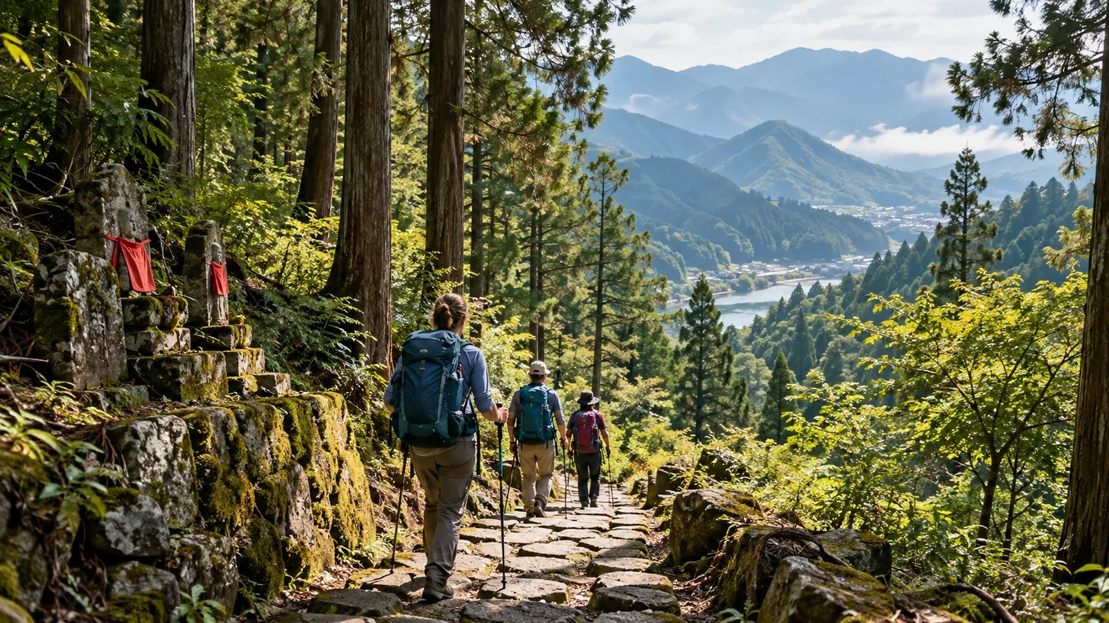
The Kumano Kodo is one of Japan's best-known long-distance walks for international hikers and pilgrims. Its partnership with Spain's Camino de Santiago has raised its profile, particularly in English-speaking countries and Europe. If you're coming to Japan to walk a World Heritage trail, here's what to know before you go.
This guide is also for people walking with visiting friends or helping visitors along the way. It explains how the routes differ, how to plan the trip and what to work out together before setting out.
What is the Kumano Kodo?
The Kumano Kodo is a network of pilgrimage routes across the Kii Peninsula leading to the three shrines of the Kumano Sanzan: Kumano Hongu Taisha, Kumano Hayatama Taisha and Kumano Nachi Taisha. In 2004, UNESCO inscribed sections of the network as part of the Sacred Sites and Pilgrimage Routes in the Kii Mountain Range.
The trails follow several routes, depending on where you're coming from and where you're going. These are some of the main ones.
- Nakahechi. The best-known route, linking Tanabe with the three Kumano shrines. It's a popular choice among international visitors.
- Ohechi. A southern route near the coast.
- Kohechi. A mountainous route from Koyasan to Kumano Hongu Taisha. Sustained climbing calls for good stamina.
- Iseji. The route south from the Ise Jingu area, crossing a series of passes.
Many visitors choose Nakahechi. Match your route to your stamina and experience. A World Heritage trail can still take you through remote mountain passes where traveling light without the right gear may leave you exhausted. Kohechi's distance and elevation gain make it particularly demanding.
Choosing a route and setting an itinerary
The itinerary depends on whether you want to walk through in one trip or tackle shorter sections.
Allow roughly three to five days for a Nakahechi itinerary from the Tanabe area to Hongu. Actual time depends on your starting point, pace, breaks and where you stay. Many walkers take a bus from Kii-Tanabe to the trail at Takijiri-oji. The Tanabe City Kumano Tourism Bureau publishes sample itineraries, including a four-day Takijiri-to-Hongu trip. Use its current guidance or Wakayama Prefecture's information to plan your stages.
Two details are easy to overlook when planning.
Lodgings are in scattered villages, which fixes the length of some stages. On stretches without many places to stay, you can't always stop for the night when you feel tired. Reserve your rooms in advance, particularly in the spring and autumn busy seasons.
Bus and rail connections are limited. Services around Tanabe, Shingu and Hongu are infrequent, with schedules that can vary by day and season. Check the latest information from operators such as Ryujin Bus and Nara Kotsu or the Kumano Hongu Tourism Association. If you finish early or bad weather delays you, the next connection may be some time away.
Common challenges for international walkers
Many stretches have signs in English, making them easier for visitors to follow. There are still a few things to prepare for.
Reading signs
Major junctions usually have signs in Japanese and English. At smaller junctions with side paths and older trails, you may find only Japanese. Download an offline topographic map before leaving so you can check your position when mobile reception is poor.
Weather and seasons
The Kii Peninsula receives a great deal of rain as its mountains intercept moist air from the south. Typhoons and localized downpours in summer and autumn can close routes. Check the Japan Meteorological Agency forecast and official trail and tourism updates from Wakayama and Nara before setting out.
Emergency contacts
In Japan, call 110 for police or 119 for fire and emergency medical services. Ask for English interpretation if you need it. For non-urgent police advice, the consultation number is #9110. Wakayama and Mie encourage hikers to file a hiking plan. Check the prefecture's official guidance for its current filing methods, including online options.
Preparing to walk together
Agree on a few practical details before leaving, even if you and your companions are comfortable communicating.
Agree on a pace. Share each day's destination and departure time. People judge remaining daylight and energy differently. An overly fast first day can affect the rest of the trip. Work backward from your lodging's check-in time and leave enough time for breaks or delays.
Know where to get food and water. Nakahechi has rest areas and tea houses, as well as long stretches without services. Check the map for vending machines and shops and carry more water than you expect to use between stops.
Explain local customs simply. The Kumano Kodo is still an active place of worship. Ask companions to speak quietly near shrines and stone Buddhist figures. A brief explanation helps everyone share the trail with residents and worshippers.
Check insurance and emergency contacts. Ask whether visitors have travel insurance that covers their itinerary. Mountain rescue can involve costs. Ask the insurer what the policy covers.
Choosing a route for your experience
The network ranges from short heritage walks to serious mountain crossings. Use the following as rough guidance for your group.
- Nakahechi, selected stages. Moderate. Suitable for people with day-hiking experience.
- Ohechi. Moderate to moderately demanding. Multiday walking experience helps.
- Kohechi. Demanding. Best for walkers with mountain experience and good stamina.
- Iseji, individual passes. Difficulty varies. Check the specific pass.
Weather, season and fitness all affect how a route feels. First-time visitors can try a representative stage, such as Takijiri-oji to Chikatsuyu, over one or two days before committing to a longer trip.
What to do next
Choose a route that suits the season and the group's fitness. Check trail status, accommodation and transportation with the Kumano Hongu Tourism Association, the Tanabe City Kumano Tourism Bureau and prefectural tourism sites. Review reservations, emergency contacts and weather checks together before leaving. Nordwand's Base Camp can put you in touch with people who've walked the Kumano Kodo.
Further reading
- Japan Meteorological Agency, forecasts and warnings.
- Wakayama Prefecture's official tourism site.
- Kumano Hongu Tourism Association.
- Tanabe City Kumano Tourism Bureau.
- National Police Agency, hiking plan and emergency contact information.
- Agency for Cultural Affairs, Sacred Sites and Pilgrimage Routes in the Kii Mountain Range.
References and sources
- UNESCO World Heritage Centre, Sacred Sites and Pilgrimage Routes in the Kii Mountain Range
- Tanabe City Kumano Tourism Bureau, the Dual Pilgrim partnership
- Tanabe City Kumano Tourism Bureau, suggested routes and itineraries
- Tanabe City Kumano Tourism Bureau, trail and transport updates
- Wakayama Prefectural Police, filing a hiking plan
- Mie Prefectural Police, filing a hiking plan
- Japan National Tourism Organization, emergency contacts