
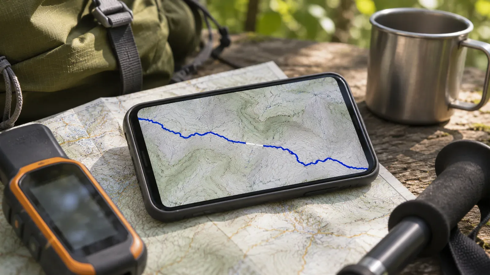
If a line shows a gap after importing a GPX file, the display alone cannot establish a reception problem or data loss. Note what the screen shows and what the original file contains at that point, keeping the two observations separate. Then check how the file was edited or exported and which import feature you used. Work out what you know before deciding on a cause or reconnecting the line.
Note where the break appears and what data you are viewing
Start by noting which screen shows the gap and what is interrupted. Identify the purpose of each view, such as the original activity, a view of the exported file or an import into a route plan. Our editors suggest recording the app name and version, the activity name shown and the filename. This makes it easier to check whether you are looking at the same data.
Note landmarks on either side of the gap and save a screenshot. Instead of writing only “near the summit,” capture enough of the line on both sides to identify the exact section. If you open the same file in another app, check the same section first. Record whether the displays agree separately from any conclusion about why.
A gap in the original activity cannot establish that a point was lost during recording. A gap in the same place in two apps does not establish that reception failed. Agreement between the displays helps narrow down where to look. Keep the original unchanged and inspect a copy. Connecting lines, deleting points and adding times are separate from this investigation.
Check segment boundaries and the points on each side in the file
In GPX 1.1, a track (trk) can contain track segments (trkseg), with points described by trkpt in each segment. A GPX file can hold multiple tracks. One line on screen does not necessarily correspond to one segment. First identify the tracks and segments in the file. Another article explains the distinction between routes and tracks.
A trkseg groups points that belong in a continuous sequence. The GPX 1.1 specification describes starting a new trkseg for each continuous span when reception was interrupted or the receiver switched off. A boundary alone cannot reveal why this file was split, and apps may draw the boundary differently.
Where you can, note whether the gap corresponds to a segment boundary or occurs between points within the same segment. At a boundary, compare the end of one segment with the start of the next. Within a segment, look at the two points on either side. Time and elevation are optional in GPX 1.1 points. Leave them unspecified when missing. We suggest avoiding conclusions such as assuming the device was switched off from a missing time, or replacing a missing value with zero.
Check whether the file was edited, split or simplified
Points and segments can also change after recording. Garmin’s BaseCamp manual for PC shows how to add, move or delete points and split a track at a chosen point or segment. The split moves the selected points from the original track to a new one. This is an example of what the software can do. It cannot tell you whether someone edited the file you received.
BaseCamp for Mac can simplify a track by filtering out points. Its options include time or distance intervals, automatic adjustment and a maximum number of points. If you find a sparsely recorded section, consider more than poor reception. Ask the sender whether the original activity was split or filtered, or whether any points were deleted before export.
The Mac manual describes an option to save a copy of the original track. It warns that if you do not, filtering permanently removes points from the original. This is a reason to keep the original separate from the working copy before trying any filtering. Preserve the points and segments you need for comparison with the earlier record before trying to make the line look better.
Check what the import feature does and what its documentation says
Note whether you imported the GPX as a plan or for another purpose. YAMAP’s guide to creating a hiking plan from a GPX describes that particular import feature. It explains that a very high point count can slow down the import or lead to parts being simplified. If the track changes during a plan import, check this condition in the context of that feature.
A high point count alone cannot establish that simplification caused your gap. The guide does not specify exactly how the app draws all segment boundaries or missing points. Note which feature you used, how points and segments are arranged in the original file and where the display changes. Then separate what fits the documentation from what remains unknown.
An import rejection differs from a gap in a file that did load. Keep the exact error message and check the format and field requirements of the feature you used. A different service or import feature can have different limits. If you do not know how the file was exported, ask the sender. If you do not know how the file was handled after import, ask the receiving app’s support.
Summary: Keep observations separate from unresolved causes
Note the screen showing the gap, the file, the tracks and segment boundaries, the points on either side, any editing or export history, and the feature used to import it. “Both points are in the same segment, but the plan view shows a break” is a different observation from “The break is where the file changes to another segment.” Neither establishes the cause on its own.
If you need support, use your notes and the unchanged original to explain which step or process you are asking about. Leave anything unverified open. Keep the original record even if you produce a version with the gap filled in. Storing original files and managing updates with the same filename are separate tasks.
Making the line continuous does not establish that the trail is passable today. YAMAP’s plan guide also says that older data may show trails that are now closed or damaged by a landslide or collapse, and asks users to check current information. Investigate the gap and check the state of the actual trail separately.