
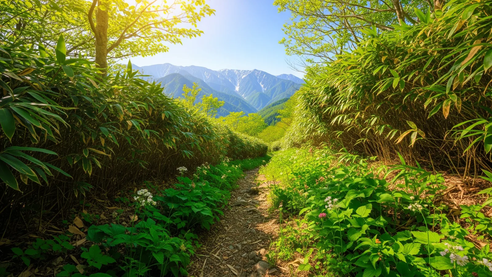
For a first hike, look for a trail that is easy to reach and gives you something to enjoy along the way. Here are ten options from Hokkaido to Kyushu and what to check before you go.
Three things to check when choosing your first mountain
Consider the exact route, season and trail surface. Start with access, turnaround options and walking time.
First, check how you will get from home to the trailhead. Look up bus frequency and road conditions and leave enough time for the trip and the walk.
Next, find places and ways to turn back on the map. If using a cable car or ropeway, check the walk to the station and its operating hours, and make a plan in case service stops.
Finally, estimate walking time. Check whether the published time includes breaks. Allow for rest stops, trail conditions and your group’s pace so you can get down and catch transport with time to spare.
Ten first-hike options by region
Consider these options when trails are free of snow and ice. Elevations identify the mountain or the point reached. Walking times depend on the route and conditions. Check weather and access before leaving.
Hokkaido: Mount Tarumae, about 1,041 m
The route from the Seventh Station goes past a lookout to Higashiyama (1,022 m) on the crater rim. The lookout has views of Lake Shikotsu and works as a turnaround point. The inside of the rim and the lava dome are designated hazardous areas. Volcanic gravel on the way to Higashiyama can be slippery, so check road access, volcano information and wind.
Tohoku: Hachimantai, about 1,613 m
Trails near Mikaeri Pass on the Hachimantai Aspite Line visit the summit and ponds. The tourism association’s Kagami-numa and Gama-numa loop is about 2.5 km and 60 minutes on foot. Check road access, bus service and lingering snow on the trail.
Northern Kanto: Mount Tsukuba, about 877 m
The mountain has two summits: Nantai (871 m) and Nyotai (877 m). A cable car or ropeway can take you near the top for a shorter walk. Trails to Nyotai include rocky sections, so check the map of your route and lift operations.
Southern Kanto: Mount Takao, about 599 m
Trail 1 from Takaosanguchi toward Yakuō-in is mostly paved, with steep stretches from the base. A cable car can shorten the walk. Check the Takao Visitor Center for closures or one-way rules on your chosen trail.
Kōshin’etsu: Daibosatsu-rei, about 2,057 m
From Kamihikawa Pass toward Daibosatsu Pass, the ridge can offer views of Mount Fuji and the Southern Alps. Use the wind, time and your energy to decide whether to continue to the summit. Check bus dates or the road to the trailhead.
Hakone: Mount Kintoki, about 1,212 m
The Ministry of the Environment lists about 4.6 km and 2 hours 30 minutes of walking for the route up from Kintoki Shrine and down via Yagurasawa Pass to the Kintoki trailhead. The approach to the summit is steep. On a clear day you can see Fuji. Allow for breaks and the return bus.
Kansai: Mount Kongō, about 1,125 m
The mountain straddles Osaka and Nara. The main Chihaya route has many steps. Allow time for both ascent and descent and stick to the trails on Chihayaakasaka Village’s official map.
Chūgoku: Hōki Daisen, regular trail to Misen at about 1,709 m
The summer trail climbs to Misen (1,709 m). The ridge route to the higher Kengamine (1,729 m) is closed because of collapses. The summer route climbs steadily, so use your fitness and the weather to decide whether to continue to the summit or turn back.
Shikoku: Mount Tsurugi, about 1,955 m
A chairlift runs between Minokoshi and Nishijima. From Nishijima, the ridge route to the summit takes about 40 minutes on foot. Dwarf bamboo covers the summit area. Check trail conditions, the lift season and last ride, and road restrictions.
Kyushu: Mount Kuju, about 1,787 m
From Makinoto Pass (about 1,330 m), a steep climb toward Kutsukake leads to an open ridge. Total ascent to Mount Kuju is greater than the difference between the trailhead and summit elevations. Turn back while you have time and energy if wind or fog makes visibility poor.
Start close to home
Use these ten mountains as a starting point. Look for a nearby mountain you can reach easily and turn back on, then choose a route that fits your experience and fitness.
A short first hike tells you how far you can walk comfortably and what terrain and views you enjoy. That helps you choose the next one.
Remember to submit a hiking notification. Filing requirements and recipients vary by area. Check the local authority’s latest guidance and review the weather and trail conditions before leaving.
References and sources
- Nagano Prefecture: Shinshu mountain route grading
- Tomakomai City: Mount Tarumae Higashiyama route
- Tomakomai City: Mount Tarumae access restrictions
- Hachimantai Tourism Association: Summit and Toshichi Onsen area
- Tsukuba City: Mount Tsukuba hiking trails
- Mount Tsukuba Cable Car and Ropeway: FAQ
- Takao Visitor Center: Trail 1
- Kōshū official tourism website: Daibosatsu-rei
- Ministry of the Environment: Mount Kintoki route
- Chihayaakasaka Village: Mount Kongō
- Tottori Prefecture: Daisen hiking and descent notifications
- Ministry of the Environment: Daisen-Oki National Park project
- Tokushima official tourism website: Mount Tsurugi
- Ministry of the Environment: Nakadake route
- Kokonoe Town: Tourism map
- Takao Visitor Center: Closures and notices