
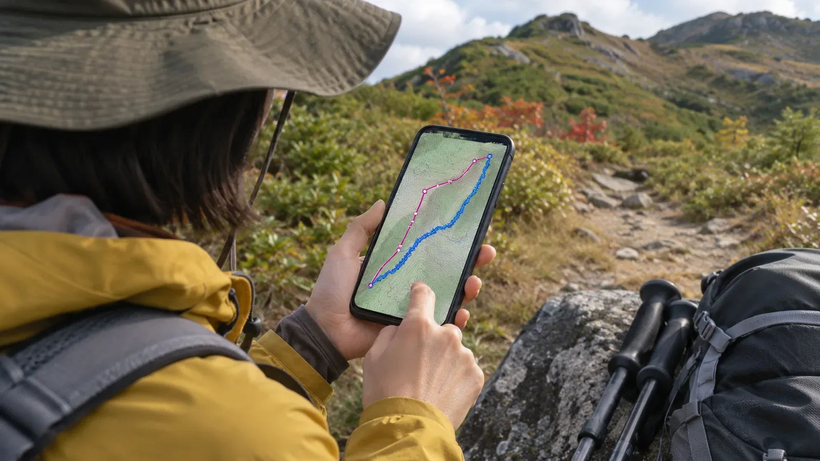
Before using a GPX someone sent you, distinguish the file format from the data it holds. The GPX extension alone does not tell you whether it is a planned route or a record of a hike. We use the GPX 1.1 specification to explain the structures, then look separately at why the file was made and what the receiving app requires. The number of points and the smoothness of the line cannot tell you where the data came from.
First check the GPX version and what the file contains
GPX 1.1 describes how a file can contain waypoints, routes and tracks. The route element rte and the track element trk can each appear more than once. One file can contain both routes and tracks. Even if the filename says “route,” check the elements in the file and what the receiving app shows.
Check the version too. TopoGrafix’s GPX 1.0 Developer’s Manual opens with a note that it describes the older GPX 1.0 format. This article uses the GPX 1.1 documentation. We suggest checking first that the version of the documentation you found matches the version of your file.
To look inside the file, keep the original and work with a copy. If the app’s file information does not show the version or data type, you can look at the file as text without deleting or changing elements. If you cannot verify a version or an element, leave it unknown rather than reaching a conclusion.
Look for rtept in a route and trkseg and trkpt in a track
In GPX 1.1, rte represents a route: an ordered set of waypoints, such as turns that lead to the destination. The trk element represents a track: points in sequence that describe a path. Route points are rtept elements. A track contains trkseg elements for its segments, and each segment can contain trkpt elements for its points. Check where these elements appear to tell the types apart.
A route does not have to have fewer points than a track. The definitions we checked do not use point counts to distinguish them. Even if the two lines look similar on a map, verify their structure and purpose separately. If the app does not show element names, check its official documentation for ways to identify the data type. An on-screen label alone cannot establish what the file holds.
A trkseg groups track points that belong in a continuous sequence. The specification explains that when there is a break in satellite reception or the receiver is switched off, a new trkseg should represent each continuous part of the track. A break between segments cannot tell you on its own why the file was divided. Check how the file was made or edited separately.
Separate the data type from whether it came from a plan or a recording
Even if you can identify a route or track from its structure, find out separately who created it and why. Finding a trk element is no proof that the person walked and recorded that path. Keep the sender’s explanation of whether it was planned, recorded on the move, edited or converted.
In GPX 1.1, the metadata element is optional, as are fields in it such as name, description, author and time. The version and creator attributes at the file level are required. Missing optional author information is different from a missing required attribute. Even if you see what looks like an author’s name, check who recorded the data and why the file was created.
Note who supplied the file, when you received it, what they say it was created for and what you could not verify. Do not fill in an unknown source or creation date based on the shape of the line or the filename. We suggest these notes to keep track of the file’s origin. The element names cannot tell you the current condition of the trail or whether it is passable.
Distinguish the format’s fields from what an app requires to import the file
In GPX 1.1, both rtept and trkpt use wptType. That type requires latitude and longitude attributes, while elevation (ele) and time (time) are optional. The presence of a timestamp or elevation does not tell you whether the points belong to a route or track. Mark missing values as “not specified.” Do not substitute zero elevation or zero elapsed time.
The receiving service sets its own conditions. Strava’s developer documentation says it follows GPX 1.1 and requires each trackpoint to have a time when uploading an activity file. Its help centre explains that without timestamps for coordinates it cannot calculate speed or segment times, so it rejects such uploads. An optional GPX field can still be necessary for a particular service.
The help centre gives GPX files downloaded from other users’ activities as one example of files without timestamps. If you cannot obtain a file with timestamps, it suggests creating a manual activity. These are Strava’s upload rules. Other map apps may have different requirements. A rejection alone does not justify changing the point type or inventing missing timestamps.
Summary: Note the type, structure, source and intended use separately
Make separate notes for the GPX version, the routes or tracks it holds, segments within the tracks, which fields are present, what the sender said and how the receiving app will use it. Finding trk, receiving it as a timed recording and confirming that your app can handle it are separate facts. Leave anything you cannot see unverified.
Breaks between segments, missing elevation and timestamps each call for further checks. Start by identifying routes and tracks from their original structure. Point density alone cannot distinguish them. Consult the app’s official guidance to learn how it draws tracks, handles updates with the same filename or fills missing fields.
Successfully importing a GPX file does not show that the path can be walked. Keep any uncertainty about its purpose or origin visible. Use the format to identify the data you have, and check present-day trail conditions separately.