
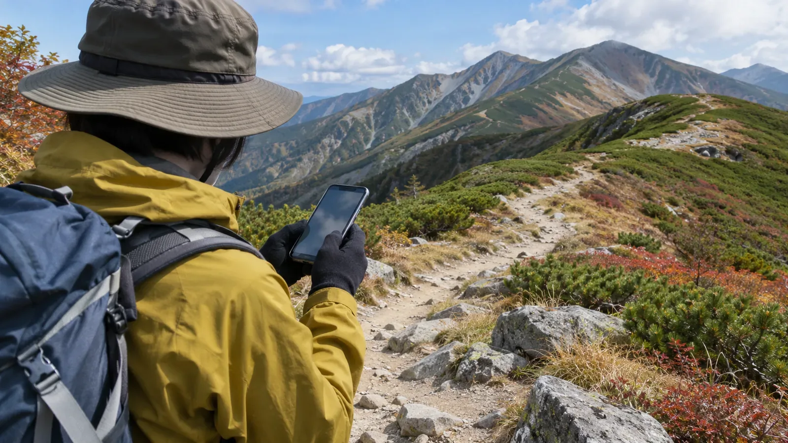
A smooth track line may still differ from the path you actually walked. An “update interval” can mean how often a location is obtained, how often a point is saved or how often the screen refreshes. Drawing on Google, Garmin, Suunto and Strava documentation as of October 29, 2026, this article explains how intervals affect the look of a track. The timing and calculations can vary by app.
Check which step the “interval” setting refers to
Distinguish when a location is delivered from when it is written to a file. Google Play services documents a location request called LocationRequest. The documentation says many settings express preferences or are handled on a best-effort basis. Locations may arrive sooner or later than expected and may be more or less accurate. The desired interval in a setting does not guarantee the updates will come at that rate.
Google also explains that the app requesting locations cannot specify the exact sensors that are used, and the system may combine results from several sensors. For an app that uses this feature, the rate at which locations are delivered may differ from how often the receiver gets a satellite fix. Check separately whether your app uses it.
Google also explains that when locations are delivered in batches, those batches may arrive out of chronological order. When a point appears on the screen can differ from when the location was obtained. The documentation on location delivery does not establish how often any given app redraws its screen.
With fewer saved points, some turns may disappear
Garmin’s FIT guide explains that Smart Recording saves a record when a value changes significantly, reducing file size. Every Second Recording writes a record each second whether a value changes or not. This concerns what is saved to the file. The Smart Recording label does not imply a fixed number of seconds between saved points or tell you whether fixes were obtained between them.
The Suunto 5 guide describes GPS fix intervals. Each fix is saved in the exercise log, and the interval is about one second in Best and about 60 seconds in Good. The interval also affects battery life. The guide explains that a longer interval can extend it. These are settings for the Suunto 5. The same labels on another model or a phone may work differently.
If points are joined by straight lines, the shape depends on whether the turn itself was saved. Imagine walking 10 m east on level ground and then 10 m north. The two legs add up to 20 m. With the corner omitted and the start and finish joined directly, the line is about 14.1 m long. This is a geometric calculation with set conditions. It does not measure GPS error in the mountains or report a test of an app.
Strava similarly explains that connecting GPS points with straight lines can miss curves and other changes in the route, losing some distance. Saving more points can still produce an inaccurate result. In a separate article, Strava shows how adding the zigzags from inaccurate points can inflate a distance.
Processing after recording can affect how smooth a track looks
Strava describes smoothing uploaded GPS data to remove outliers. It can also recalculate distance when the data is poor, producing a different result from the device total. Verify the detail in the original record separately from how smooth a line looks after processing.
This does not establish that other hiking apps smooth their tracks the same way. If the processing method or threshold is unknown, you cannot tell from the appearance which interpolation or filter was used. A neater line gives no assurance that the position of an omitted corner was recovered.
Strava says that with particularly poor data it may be unable to estimate a realistic distance. A line that is easier to read is different from a location or distance you have verified. Smoothness alone does not establish that you can accurately tell one trail or junction from another.
For your own tracks, keep the setting name with the point timestamps
When reviewing a hike at home, we suggest noting the device, app, activity type, exact setting name and whether you are looking at an original file or a synced view. “I shortened the update interval” leaves open whether you changed fix acquisition, saving or delivery. If it is not clear what the setting controls, note that question and check the manual.
If you can see the timestamps, use them to check the intervals between points that were saved. A long gap alone does not establish signal loss or a pause. Garmin’s FIT guide says that Smart Recording can make short pauses difficult to distinguish from long intervals between samples. Pause and restart information is recorded separately.
If you cannot verify point timestamps or pause events, leave them unknown. Avoid inferring missing positions or times from the line on the screen. Keep the original record and note the part of the track and the setting you have a question about. That makes it easier to consult the official documentation or ask for support.
When deciding what settings to use in future, look at the information for your model on battery use and the level of detail it records. Garmin’s guide concerns file size, while the Suunto 5 guide concerns GPS fix intervals and battery life. The settings affect different steps. Choosing the same interval does not imply the same power use or accuracy.
Summary: A short interval cannot establish that the line is accurate
Distinguish the interval for obtaining and delivering locations from how often points are saved and how the track is displayed or processed. With few points you can lose a turn, and with many points inaccurate fixes can still affect the track. Check the setting name, timestamps and whether the display uses the original record or processed data. A smooth line alone cannot confirm accuracy or route safety.
References and sources
- Garmin FIT, “Decoding Activity Files: Smart Recording” — saved records and pause events
- Suunto 5, “Navigation: GPS accuracy and power saving” — fix intervals and battery life
- Google Play services, “LocationRequest” — requesting and delivering locations
- Strava, “How Distance is Calculated” — straight lines between GPS points and changes in the path
- Strava, “Why is my Activity’s Distance Different Than my Friend’s?” — smoothing and limits to distance estimates