
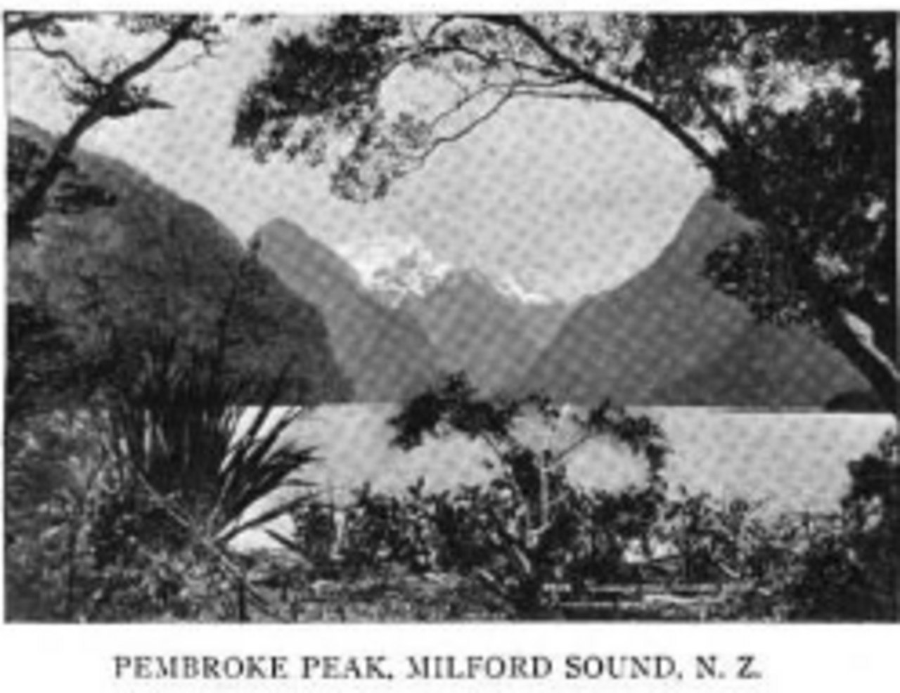
A Name from the Acheron
The official gazetteer traces the mountain's name to Captain John Lort Stokes of the survey vessel Acheron, who applied it in 1851 after Pembroke Castle in Wales. The naming belongs to the period of systematic coastal and fiord charting carried out by the Acheron along the southwestern South Island, and Mount Pembroke stands as one of the more prominent topographic features to emerge from that survey with a fixed European identity. The gazetteer records the name as the established form; the Japanese rendering マウントペンブローク and the anglicised abbreviation Mt. Pembroke are alternate designations in the same record.
Creek, Glacier, and Named Landforms
The gazetteer lists Pembroke Creek and the Pembroke Glacier as individually named features distinct from the summit, each assigned its name separately and at a later date than the mountain itself. That sequence of naming reflects how European geographic knowledge of Fiordland accumulated incrementally rather than all at once. The creek descends from the mountain's environs to join the Harrison River below, tracing a drainage line that connects the high terrain to the broader valley system.
The South Face Basin and the Lippe Couloir
Pembroke Creek passes from a hanging valley beneath the mountain’s southern face to the Harrison River. The cirque at its head frames Lippe Couloir, a steep gully recorded in the Alpine Club’s account of the mountain.