
A Name on the Monaro Map
The spelling Jinderboine on this hill connects to a cluster of early recorded forms from the district. John Lambie noted Genderbine at Badgery Station in November 1839, and Stewart Ryrie used Jinderbine while mapping the Monaro in February 1840. Linguist Harold Koch, writing for ANU Press, treats Jinderbine and Genderbine as historical spellings of the same place name that became Jindabyne. Keith Collicoat's research, published in Placenames Australia, documents the 1840 spelling Jinderbine in Ryrie's survey work.
The hill’s name retains a spelling close to these early transcriptions. The records establish the connection between the spellings, while the exact place to which the original Indigenous name referred remains uncertain.
Reservoir and Submerged Town
An October 1965 colour photograph held by Blue Mountains Library, Local Studies — provenance Milton Porter — shows the former township of Jindabyne alongside a three-span McDonald truss bridge carrying the road over the Snowy River. The new township, built on higher ground to the west, opened on 19 December 1964. Snowy Hydro's 71.6-metre rockfill dam was completed in 1967, and the original township site was submerged as the reservoir filled.
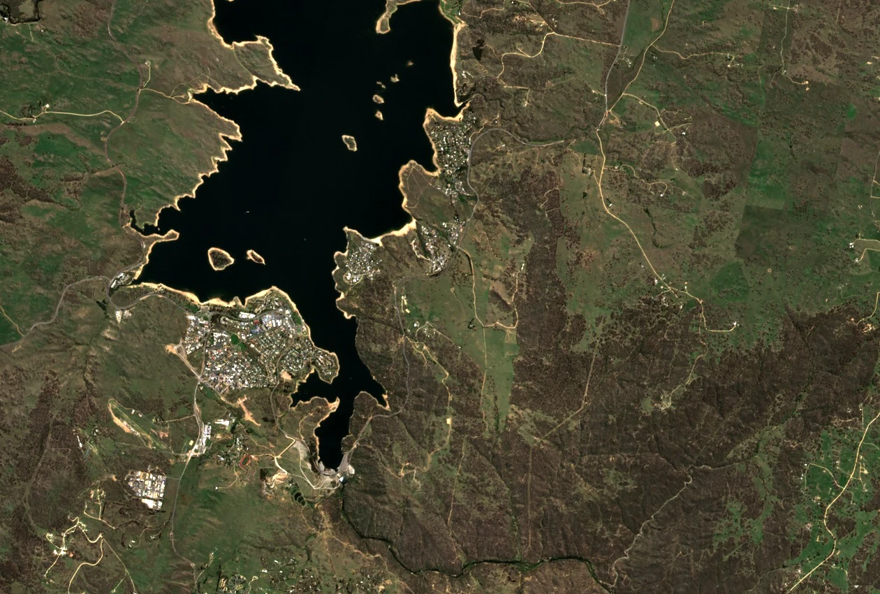
In the 2026 Sentinel-2B satellite image the transformed geography is legible: the dam sits near the southern end of the lake, the relocated town occupies the western shore, and Jinderboine Hill stands on the eastern side across the water.
Shifting Approaches to the High Country
Before inundation, the old road through Waste Point served as the approach to Kosciuszko National Park from the Jindabyne direction. After the valley flooded in 1967, that route became unusable and traffic was redirected along the new Kosciuszko Road, with the park entrance relocating to Sawpit Creek — a realignment documented in NSW National Parks and Wildlife Service planning for the Waste Point area.
The hydraulic infrastructure that caused these changes extended beyond the dam itself. A pumping station completed in 1969 draws water from Lake Jindabyne and routes it through the Jindabyne–Island Bend and Snowy–Geehi tunnels to Geehi Reservoir, feeding generation at the Murray 1 and Murray 2 power stations.