
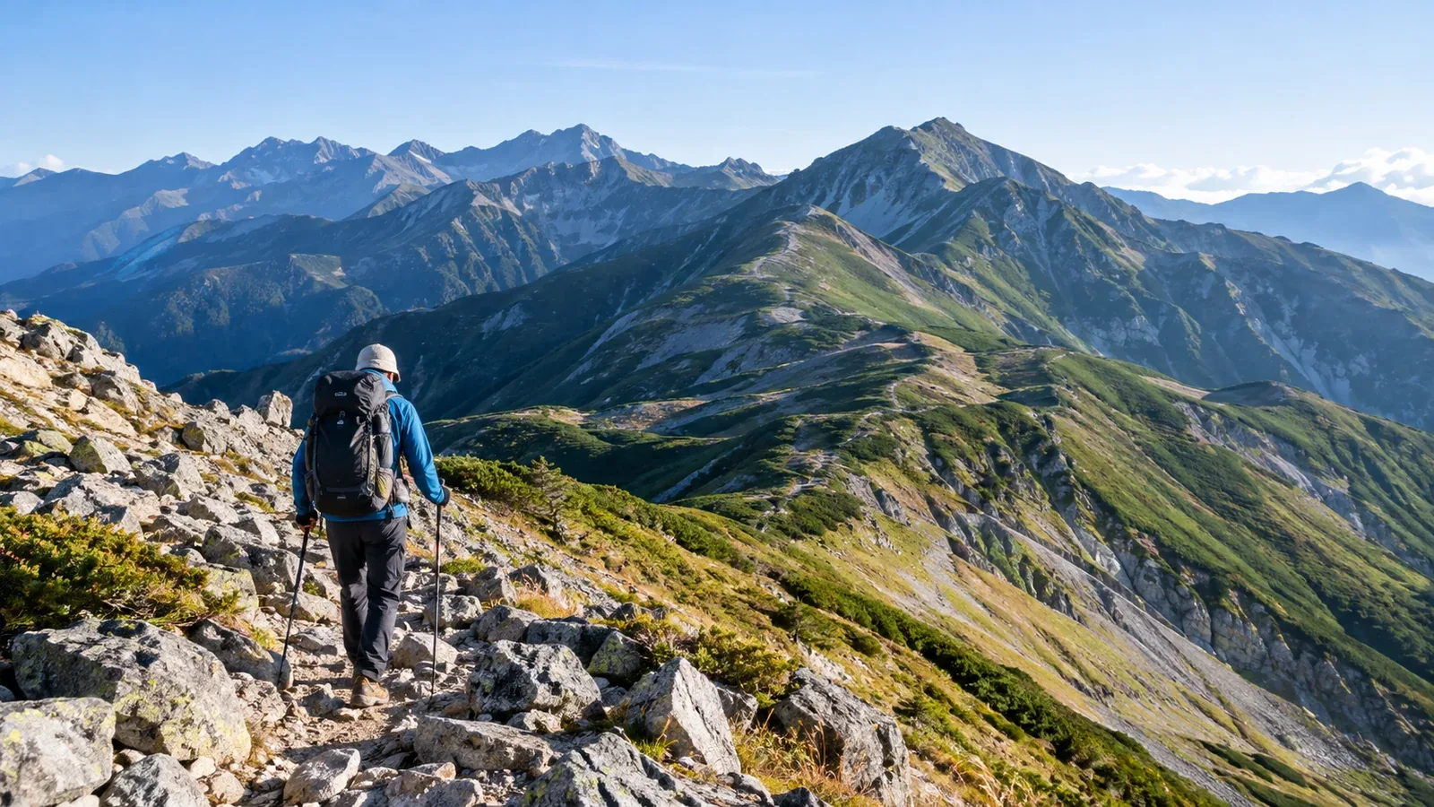
The Ura Ginza is a long traverse in the Northern Japan Alps. It runs from the Mount Eboshi area past Mount Noguchigorō and Mount Washiba toward Mount Mitsumata Renge and Mount Sugoroku. From Sugoroku Hut, the route to Mount Yari takes Nishikama Ridge. To finish at Shinhotaka Onsen, go toward Kagamidaira and Koike Shindō instead.
If you’re used to spending a night in the mountains and are now thinking about a longer traverse, this guide walks through access, daily stages, weather and gear. Long ridges and decisions about when to turn back are part of the trip, so choose sections that suit your fitness and experience.
Where the Ura Ginza goes
The Omote Ginza runs from Nakabusa Onsen past Mount Tsubakuro and the Mount Ōtenshō area toward Mount Yari. The Ura Ginza climbs Bunatate Ridge from Takase Dam in Ōmachi, Nagano, linking Eboshi Hut, Mount Noguchigorō, the Suishō Hut area and the route toward Mount Washiba and Mitsumata Sansō. From Sugoroku Hut you can plan to descend via Kagamidaira and Wasabidaira to Shinhotaka Onsen in Takayama, Gifu. Budget extra time for Nishikama Ridge to Mount Yari or a detour to Mount Kurobegorō. Check the map to see which summits you’ll visit and which you’ll bypass.
Some ridge sections are around 2,600–3,000 m. Even gently rolling stretches can involve long climbs and exposure to wind. From Takase Dam to Shinhotaka Onsen, four days with three nights or five days with four nights are possible itineraries. Choose the duration based on the sections, summits, huts and your fitness. Check hut route guides and local updates.
Choose where you’ll start and finish
Start by deciding which side to approach from and where to finish. Takase Dam and Shinhotaka Onsen have different access and lead to different stages.
Starting at Takase Dam. From Shinano-Ōmachi Station, take the hiking bus on operating days or a taxi to Nanakura. From Nanakura Gate, take an authorized taxi while the road is open or walk about 6 km. Private vehicles and bicycles cannot use this road. There is more walking from the dam to the trailhead before the steep climb up Bunatate Ridge. Consider ending the first day at an early stop such as Eboshi Hut.
Starting at Shinhotaka Onsen. Climb toward Sugoroku Hut via Koike Shindō and Kagamidaira. You can adjust the first day’s effort by staying at Wasabidaira Hut or Kagamidaira Sansō. Check with the operators for buses toward Takayama and Hirayu Onsen and onward connections for Matsumoto.
Arrange transport before setting out if you finish somewhere other than your starting point. Check last bus and authorized taxi times, road and trail closures, and your options if you miss a connection.
Three checks when planning your itinerary
1. Allow time for breaks and delays
Use your times on similar terrain with the pack you’ll take, then add room for breaks and delays. On long days, plan to arrive well before the hut check-in deadline and sunset. If thunderstorms are expected in the afternoon, cross exposed ridges earlier or shorten the stage.
2. Check spare days and escape routes
Some stretches offer no quick way off the ridge. Check a topographic map for turnarounds and descent junctions for each stage. Ask the huts about closures, high water and transport after descending. If you build in a spare day, check in advance whether you can stay an extra night or change a reservation.
3. Check ridge forecasts and weather alerts
Wind, visibility and rain on the ridge can be different from conditions at the trailhead. Before leaving, check Japan Meteorological Agency forecasts, warnings and advisories, as well as a forecast for the area. Look for wind, visibility and the timing of rain or thunderstorms. Save key information for stretches without a signal. Make decisions early based on changes in the sky and wind and updates from huts.
How to choose your gear and huts
Eboshi Hut, Noguchigorō Hut, Suishō Hut, Mitsumata Sansō and Sugoroku Hut are among the possible stops. Some gaps between huts are long, and opening dates and booking methods vary. Decide between huts and designated campsites based on pack weight, cost and the daily stages.
Here are a few gear decisions to work through.
- Sleeping bag. If camping, choose one with a margin for the forecast overnight low at elevation, taking wind exposure into account. If booking a hut, check what bedding is supplied and whether you need a liner or sleeping bag.
- Food and weight. Pack according to the number of days and what you eat, including trail food and a reserve for delays. If you book meals, check which days they’re served and what’s included.
- Rain gear and warm layers. Keep both accessible for rain and falling temperatures on the ridge. A separate waterproof, breathable jacket and pair of trousers are practical.
- Water supply. Some stretches have long gaps between huts or water sources. Check whether sources are available and safe to drink and whether water can be bought. Carry enough in case you can’t refill.
Weigh your pack ready to leave, with food and water, and try it on a nearby hike. See what pace you can keep and how quickly you tire. If the load is too much, adjust the itinerary or overnight stops before cutting essential gear.
Choosing a date as autumn approaches
In autumn, the grasses change colour. High ridges cool down, and snow or ice may appear early. Even while huts are open, snow or ice underfoot may require more than summer gear.
For a first traverse, choose dates when your huts are open and the trails are free of snow and ice. Dates differ from hut to hut. If snow or ice is expected and you lack the skills or gear to deal with it, postpone.
Check Nagano and Gifu mountain updates, the hut websites and signs at trailheads for current hut and trail information. Consult each prefecture’s instructions for where and how to file your hiking plan.
What to do next
Using a topographic map and hut opening dates, write down where you’ll stay and how long you’ll walk each day. Mark retreat routes, places to refill water and transport after descending on the same map to see which stages need more margin. You can also exchange information with hikers who know the Ura Ginza through Nordwand’s Base Camps and communities.
References
- Japan Meteorological Agency: weather warnings and advisories
- Nagano Prefecture: hut information and hiking plan filing
- Gifu Prefectural Police: mountain information and hiking notifications
- Geospatial Information Authority of Japan: GSI Maps
- Ōmachi Tourism Association, huts and transport operators: routes and access
References and sources
- Ōmachi Tourism Association | Ura Ginza trailhead and transport between Nanakura and Takase Dam
- Ura Ginza hiking bus | Shinano-Ōmachi to Nanakura timetable
- Northern Japan Alps Hut Association | Map of huts and walking times
- Sugoroku Hut Group | Shinhotaka, Koike Shindō and Nishikama Ridge routes
- Sugoroku Hut Group | Route choices and trail conditions
- Nohi Bus | Takayama, Hirayu Onsen and Shinhotaka timetable
- Nohi Bus | Services from Takayama, Shinhotaka and Hirayu Onsen to Matsumoto
- Nagano Prefecture | Huts in the Northern Japan Alps
- Nagano Prefecture | Filing a hiking plan
- Gifu Prefectural Police | Mountain information and hiking notifications
- Japan Meteorological Agency | Weather warnings and advisories
- Geospatial Information Authority of Japan | GSI Maps