
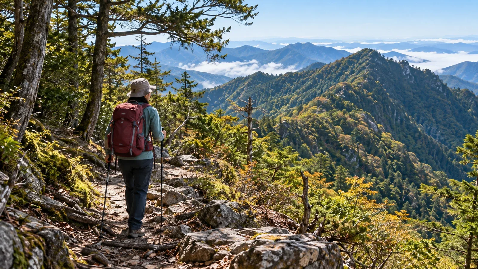
The Ōmine Okugake and Kumano Kodo are part of the World Heritage site Sacred Sites and Pilgrimage Routes in the Kii Mountain Range. Yoshino and Nachi have short walks. The high ridges of Ōmine and the mountain passes on the Kumano Kodo call for different preparation.
Here is what to know about the terrain and seasons so you can choose a section, equipment and a turnaround point. Check current distance, walking time, restrictions and transport with the municipality or trail manager.
Understanding the terrain in Ōmine and Kumano
The Ōmine range crosses southern Nara and includes Mount Hakkyō, the highest peak in the Kinki region. The Ōmine Okugake is a long Shugendō pilgrimage trail linking Yoshino and Kumano Hongū. Even for a single section, allow for travel to the trailhead, the climb to the ridge and the descent.
Ōmine has steep ridges and deep valleys. Wind and visibility high on the ridge can differ from the foothills. In Kumano, stone paving can get slippery after rain. Check the forecast and local information from the authorities responsible for your section.
Choosing an area for a first visit
Compare places of Shugendō practice, ridges on the Yoshino side and Kumano Kodo pilgrimage sections. Choose a route for your fitness, goals and equipment.
Places of Shugendō practice
Mount Sanjō is sacred in Shugendō. Tenkawa Village says the religious boundary around Mount Sanjō restricts entry to men. Mount Hakkyō and other mountains have separate hiking routes, so check the mountain and trailhead.
One route to Mount Hakkyō starts at the west entrance of the Gyōjagaeri Tunnel on National Route 309. Tenkawa Village says part of Route 309 closes in winter. Check road conditions, round-trip time and total ascent, and submit a hiking plan.
Ridge walks from the Yoshino side
On Mount Yoshino you can visit Kinpusenji Temple and other sites. If you go from Oku Senbon toward Mount Aonegamine, the ascent and footing change beyond the visitor area. Use the Mount Yoshino Tourism Association map to check the distance and the way back.
Waymarking and resupply change beyond the visitor area. If continuing onto the Ōmine Okugake, mark the section on a map and set a turnaround point and time before leaving.
Walking sections of the Kumano Kodo
In Wakayama, you can walk parts of the old routes to Kumano Hongū Taisha or Kumano Nachi Taisha. At Nachi, a section links Daimonzaka, Kumano Nachi Taisha, Seigantoji Temple and Nachi Falls. Watch for steps and wet stone paving and check the return bus.
The Ogumotori-goe is a mountain crossing of about 14 kilometres between Nachi and Koguchi. The Tanabe City Kumano Tourism Bureau estimates seven to nine hours from Koguchi to Nachi. The Kogumotori-goe is also about 13 kilometres and takes transport and time planning. On a first visit, consider a shorter section around Nachi.
Seasonal considerations
Snow and ice can linger on Ōmine's high ridges in winter or early spring. Check actual footing as well as the date and elevation. If you lack equipment and skills for the snow, ice or slope, choose a snow-free section.
The rainy season, typhoons and heavy rain can bring swollen streams and landslides. Check forecasts, warnings, advisories and rain radar the day before and that morning. Consider postponing or changing the route if heavy rain or high water is expected.
Autumn brings colourful leaves and shorter days. Check the local sunset and your transport, and leave enough time to come down while you can still see the trail.
Equipment and preparation
Signs can become sparse and steep stretches with rocks and roots can appear as you leave visitor areas. Look at the route map and pack for the footing and weather you expect.
Check the following.
- Footwear: choose a good fit and grip for wet stone paving and moss.
- Rainwear: bring a jacket and trousers. Fog and rain can develop even with a sunny forecast.
- Water and food: many trails have few places to resupply. Carry a reserve. There may be shops or vending machines around Kumano Hongū, but plan to be self-sufficient on the trail.
- Map and compass: a GPS app can help. Bring a paper map in case you lose signal or power. You can print a Geospatial Information Authority of Japan map in advance.
- Headlamp: carry one even on a day hike in case you are delayed or out after dark.
What to check when planning
For a first visit, look up the following.
- Access restrictions and closures: check local guidance for Mount Sanjō's entry custom and current forest road and trail closures.
- Parking and buses: for Ōmine, check roads, parking and buses for your specific trailhead. In Kumano, check stops, operating days and last departures in both directions.
- Hiking plan: both Nara and Wakayama prefectural police recommend submitting one. Use their listed submission points or online options.
Next steps
Choose a section and mark its distance, ascent and turnaround point on the map. Check trail and transport notices and the weather, then submit a hiking plan. You can also ask people who know the area in Nordwand's Base Camp.
References
- Japan Meteorological Agency weather forecasts and rain radar
- Geospatial Information Authority of Japan topographic maps
- Nara and Wakayama municipalities' trail and closure information
- Tenkawa Village hiking information for Sanjō, Misen and Hakkyō
- Tanabe City Kumano Tourism Bureau Kumano Kodo information
- Nara and Wakayama prefectural police hiking plan information
- UNESCO's Sacred Sites and Pilgrimage Routes in the Kii Mountain Range
References and sources
- UNESCO: Sacred Sites and Pilgrimage Routes in the Kii Mountain Range
- Tenkawa Village: access to Mount Sanjō
- Tenkawa Village: Mount Misen and Mount Hakkyō routes and access
- Mount Yoshino Tourism Association: map of Mount Yoshino
- Nachikatsuura Tourism Organization: Daimonzaka, Kumano Nachi Taisha and Nachi Falls
- Tanabe City Kumano Tourism Bureau: Ogumotori-goe
- Tanabe City Kumano Tourism Bureau: Kogumotori-goe
- Tanabe City Kumano Tourism Bureau: Kumano Kodo safety and trail notices
- Japan Meteorological Agency: weather forecasts
- Japan Meteorological Agency: rain radar
- National Astronomical Observatory of Japan: sunrise and sunset calculator
- Geospatial Information Authority of Japan: GSI Maps
- Nara Prefectural Police: mountain accident prevention and hiking plans
- Wakayama Prefectural Police: submitting a hiking plan