
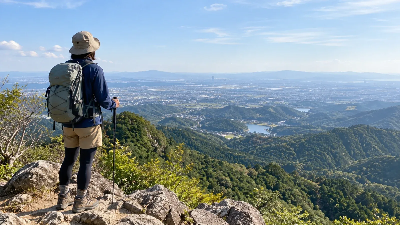
Several low mountains in Tōkai are reachable from Nagoya by train or bus. For your first hike, compare how much you will climb, how easy the route is to follow and whether you have a way back.
Here are some options for a day out from Nagoya and ways to choose among them. Check each route’s time and elevation changes on a map. Look up current closures, opening hours and transport service with the people who run them.
Three ways to compare your first routes
Summit height and total elevation gain
Check the summit elevation and how much you will climb in all, including climbs along the way. Pick a short route based on how long and how far you can usually walk comfortably. Use the elevation profile to spot long, steep stretches. The same gain can feel harder on a sustained steep slope.
Trail conditions and navigation
For a first outing, it is easier to plan an out-and-back on a main trail whose conditions you can check with its manager. Even with signs, fallen leaves can hide the path in autumn and winter. Look at junctions on a map before leaving.
Getting there and getting home
A train and bus trip spares you a long drive when you are tired after hiking. Check the connections and the last ride back. If you drive, find out where hikers can park and when it gets busy.
Mountain areas in Tōkai
Wooded foothills of Owari and Mikawa
Low wooded hills lie east of Nagoya toward Toyota and Okazaki. Even shaded trails can have slippery soil and roots. Choose footwear with good grip in the wet.
In eastern Mikawa, Mount Hongū (about 789 m) is home to Toga Shrine’s inner shrine. Toyokawa City puts the main trailhead about a 25-minute walk from Nagayama Station on the JR Iida Line. The pilgrimage trail follows a ridge and has rocky and steep sections. Allow time for the walk from and back to the station too.
Southern Suzuka Mountains and Mount Nyūdō
The Suzuka Mountains stretch across Mie and Shiga and include peaks over 1,000 m such as Mount Gozaisho and Mount Shaka. Even in the south, some sections are steep or hard to follow. Compare individual routes when deciding where to go.
In the southern Suzuka Mountains, Mount Nyūdō (about 906 m) has trails from the Tsubaki Grand Shrine side and open views near the summit. From Nagoya, transfer at Kintetsu Yokkaichi Station to the Mie Kotsu bus for Tsubaki Grand Shrine. Check the steepness, trail notices and the return bus, and choose it if it suits your experience.
Mount Sanage in Toyota and Seto
Mount Sanage (629 m) straddles Toyota and Seto and lies on the Tōkai Nature Trail. On the Toyota side, take the Toyota Oiden Bus from Meitetsu Toyotashi Station to Sanage Jinja-mae, then walk about 30 minutes to the trailhead. If you drive, check which lots are for hikers and allow extra time when it is busy.
What to check on autumn and winter hikes
Autumn and winter bring shorter days, and rain and cold can change the trail surface. Check before leaving, even for a low hill.
Fallen leaves can hide the path. Study the junctions on the map and check your position with a paper map and compass or with a map downloaded for offline use.
The sun sets earlier. Work backward from local sunset and the time you need to descend. Allow for breaks and delays so you finish in daylight.
Mornings and rest stops can be cold. Check the temperature and wind at your destination. Bring a warm layer such as a fleece and a windproof layer.
Dew and frost make trails slippery. Watch your footing on wet roots and exposed rock. If ice is expected, switch to a route you can manage with your equipment and experience.
Basic gear for your first hike
Even on a day hike in the foothills, prepare for slippery ground, rain and wind, food and water needs, wrong turns and a late descent.
- Hiking footwear. Choose shoes that fit and grip on wet ground and slopes.
- Daypack. Pick one that holds your gear and leaves both hands free.
- Water. Consider hiking time, temperature and refill points. Bring extra in case of delays.
- Trail food. Bring something easy to eat during the hike, such as rice balls or bars.
- Rain gear. Bring a rain jacket and trousers for sudden rain and wind.
- Map and compass. Bring a paper map and compass. Download the app’s map and check that it works without a signal.
- Headlamp. Bring one in case the descent runs late, and check the batteries or charge.
When choosing shoes or a pack, tell the shop how you plan to use them and try them on to check the fit.
Plan your next hike
Once you have a route in mind, check current trail conditions and transport both ways with the managers and operators. Check the Japan Meteorological Agency forecast the day before and the morning of your trip. Change days if rain or strong wind would make your plan impractical. You can find people familiar with Tōkai mountains in Nordwand’s Base Camp.
References
- Japan Meteorological Agency forecasts and weather warnings
- Police mountain incident statistics
- Information from local authorities, tourism associations and transport operators
- GSI Maps from the Geospatial Information Authority of Japan
References and sources
- Toyokawa City | Mount Hongū and access from Nagayama Station
- Suzuka Tourism Association | Weekend hiking guide to Mount Nyūdō
- Tsubaki Grand Shrine | Directions
- Mie Kotsu | Bus timetable from Kintetsu Yokkaichi to Tsubaki Grand Shrine
- Tourism Toyota | Mount Sanage trails and transport
- Japan Meteorological Agency | Weather forecasts
- Geospatial Information Authority of Japan | GSI Maps