
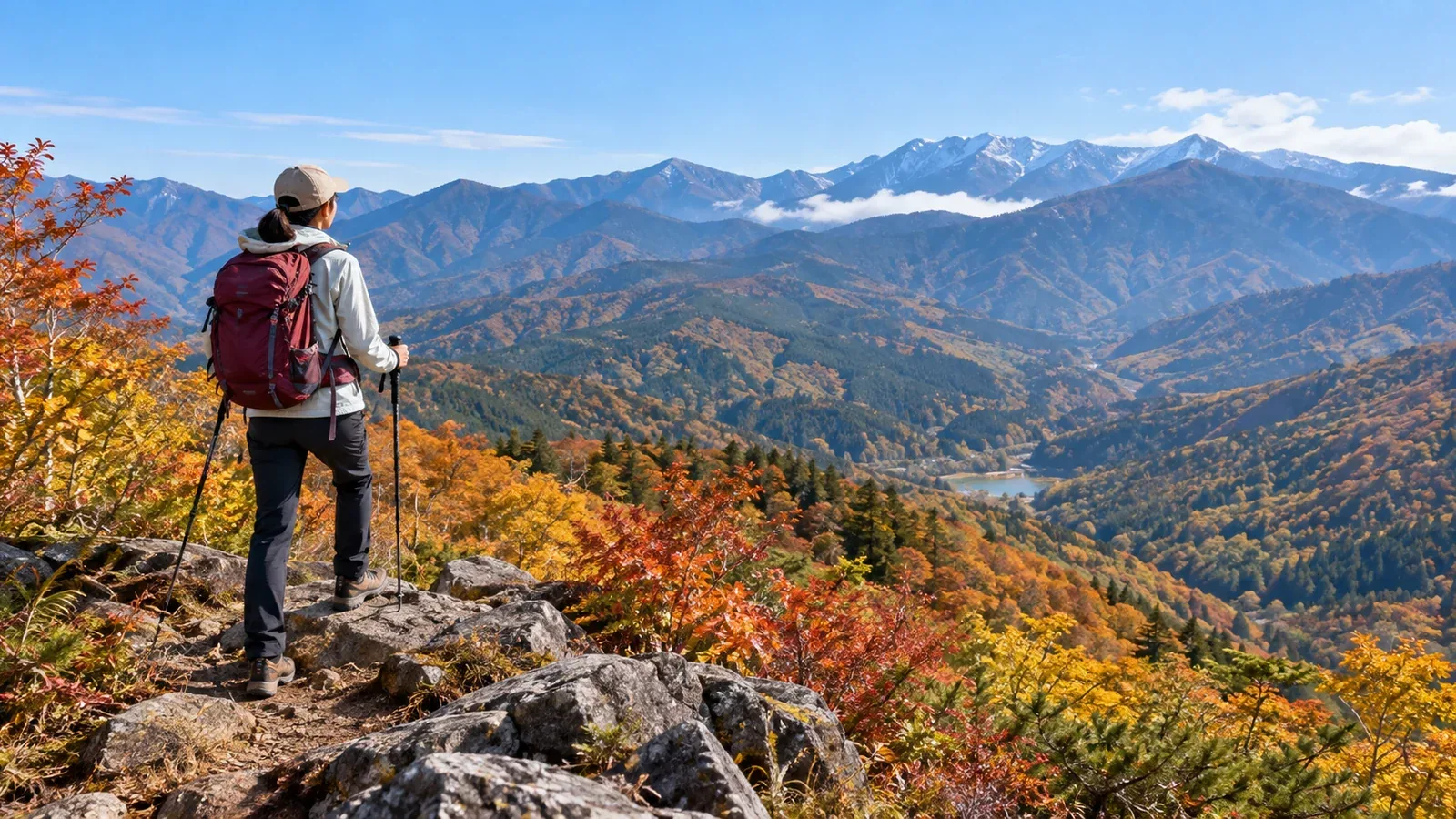
Search for day hikes in Gifu and the Northern Japan Alps and Mount Ontake will come up often. For your first outing, pick a short route with an easy way back before tackling long climbs or routes that require alpine equipment. Here are two ways to plan your first day out: Okumino around the upper Nagara River and Hida, which includes Takayama.
In Gifu, wind and trail conditions vary between the plains and the northern mountains, and even between a trailhead and its ridge. Autumn leaves can be at their peak in the valley while frost or ice lingers in shade higher up. Check forecasts and recent reports for the sections you plan to walk.
Okumino: Start in the Hirugano Highlands
At Hirugano Watershed Park in Takasu, Gujo, you can walk to see where water separates into the Nagara and Sho river systems. It makes for a short walk on the plateau. Nearby Mount Dainichigatake is a hike up to about 1,709 metres. Plan it as a separate outing and look up the total ascent and walking time from the specific trailhead.
When you are ready to move from walks to hikes in Okumino, use three criteria to narrow your choices.
- Distance, total ascent and time. Compare the route with one you have walked comfortably recently. Gifu’s grading system assesses physical effort and technical difficulty separately, for fair-weather conditions without snow.
- Junctions and ways back. Pick a marked route. Before leaving, check the map for climbs on the way back, confusing junctions and a good place to turn around.
- Transport and communications. Check the road to the trailhead or your transport home. Save the map in case you lose phone coverage, and share your destination and expected return time.
Spring and autumn offer a break from the heat, but rain, wind and frost can make the route harder. If thunderstorms are expected, plan how long it would take to get somewhere safe and shorten or postpone the hike as needed. An early start alone may leave too little time. Check Japan Meteorological Agency forecasts, warnings and advisories the day before and again that morning.
Hida: Walk from central Takayama
Trailheads in Hida can already be high up, so the summit elevation gives only part of the picture. From autumn onward, check recent updates from municipalities, trail managers or huts that are open for ice in shaded sections or snow still on the trail.
For a car-free start, Shiroyama Park is about 30 minutes on foot from JR Takayama Station. The roughly four-kilometre Higashiyama Walking Course through the temple district is another option. The tourism guide puts its access area around 20 minutes from the station on foot. Shiroyama Park has closed temporarily following bear sightings, so check the latest city notices. For outings farther from town, look up which days buses run and when they return.
Choose a route that suits the autumn conditions
Trail conditions depend on more than elevation. The footing near the base and higher up can differ on the same day.
- Parks and short paths near the base. After rain, watch for wet boardwalks, mud beneath fallen leaves and cold shade.
- Forests and valleys partway up. Look for frost, frozen puddles and lingering snow. Conditions may change farther in even if the trailhead is dry.
- Exposed ridges. If strong winds, poor visibility and snow or ice are forecast together, switch to a lower route within your experience.
Check forecasts for a location and elevation close to your route and look up local access updates both the day before and that morning. If you cannot establish whether there is snow or ice and lack the skills or equipment to handle it, choose a short walk or postpone.
Microspikes are useful on surfaces and slopes within their limits. On steep hard snow or ice, you need equipment suited to the conditions and the skills to use it. If you lack either, turn back before entering the slippery section.
What to check before heading out
Trailhead access. Parking areas and forest roads may close for construction or events. Check current notices from the municipality or operator and follow signs on site.
Thunderstorms. Check the forecast, thunderstorm advisories and the Japan Meteorological Agency thunderstorm nowcast. If you hear thunder or see other signs of a storm approaching, leave ridges and open areas and get quickly to a safe place such as a building.
Bears. Check Gifu’s bear map and local sighting notices. The prefecture advises going with others, making your presence known with a bell or similar means, and turning back if you find fresh tracks or droppings.
Hiking plan. On the Gifu side, file a plan before entering areas designated by ordinance in the Northern Japan Alps and on Mounts Ontake, Yakedake, Hakusan and Norikura. Check the prefecture’s guidance for boundaries and filing options. Compass is one way to file. A plan can help search teams even for day hikes outside those areas.
Plan your first Gifu hike in this order
When choosing your first hike in Gifu, work through these steps.
- Pick one route. Check distance, total ascent, walking time and how difficult the footing is.
- Check the weather and restrictions. Read Japan Meteorological Agency forecasts and the trail manager’s notices.
- Check both legs of the journey. Look up road restrictions, parking and your transport home.
- Prepare maps. Carry a paper map and download a map you can use offline.
- File a hiking plan. Check the designated areas and filing options and submit the plan before setting out.
- Share your return plans. Tell a friend or family member where you are going, when you expect to return and what to do if you do not check in.
Your next step
Start with one walk, either in the Hirugano Highlands or on a path in Takayama. When moving on to a hike, compare routes with Gifu’s grading guide and choose a day with suitable conditions. You can also ask people who have walked locally about access and footing in Nordwand’s Basecamp.
References and sources
- Gujo City: What to see in Takasu
- Takayama City: Shiroyama Park
- Hida Takayama Travel Guide: Higashiyama Walking Course
- Gifu Prefecture: Trail guide by grade
- Gifu Prefecture: Where hiking plans are required and how to file
- Gifu Prefecture: Bear sightings map and precautions
- Japan Meteorological Agency: Using the thunderstorm nowcast
- Japan Meteorological Agency: Forecasts, warnings and advisories