
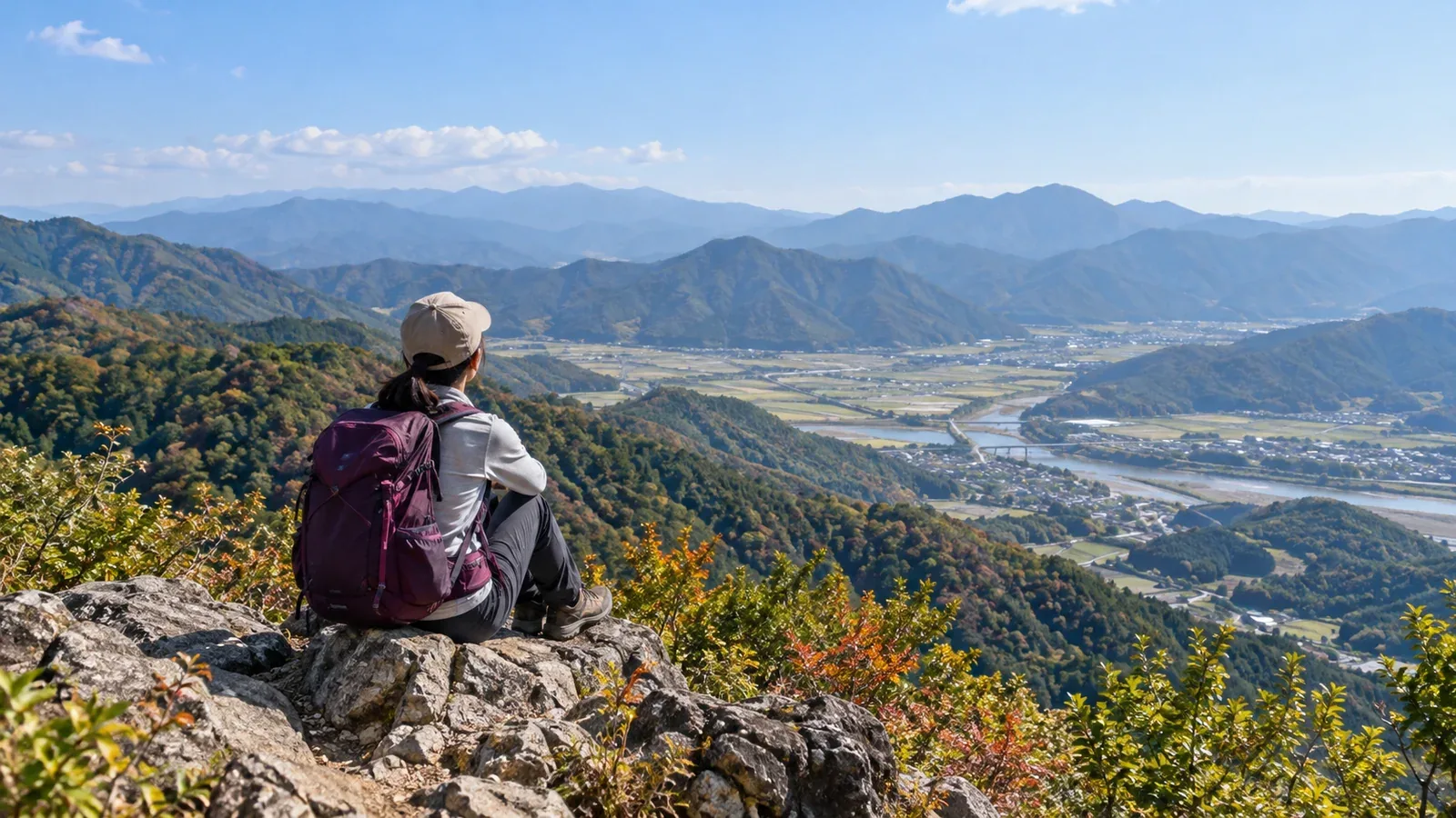
Mount Rokkō is closely associated with hiking in Hyōgo. But the prefecture stretches north to south, with different terrain in Harima, Tajima, Tanba and Awaji. There are day hikes throughout the prefecture.
Compare areas beyond Rokkō by transport, ascent, footing and season. Check times and elevation change for the specific route. Look for current restrictions from the municipality, trail manager or signs at the trailhead.
Hyōgo's mountain areas at a glance
The Rokkō range, close to Kobe and the Hanshin area, is known for easy access. Across the prefecture are the mountains of Tajima to the north, such as Hyōno and Sobu, the Tanba Highlands in the centre, the low hills of Harima to the west and the mountains of Awaji Island to the south.
These are the main areas.
- Tajima: mountain country that includes Mount Hyōno, Hyōgo's highest peak. Prepare for long climbs and winter snow.
- Tanba: the area around Tambasasayama and Tanba cities. Walk through wooded hills near villages or to old castle sites.
- Harima: the Himeji, Kakogawa and Shisō areas. Options range from low hills to more demanding peaks, including some of Shisō's 50 Famous Mountains.
- Awaji Island: mountains near the sea. Mount Yuzuruha in Minamiawaji has routes including the old Yuzuruha trail.
Narrow your choices by travel time from home, hiking experience and the season.
Three things for beginners to consider
1. Access and travel time
Beyond Rokkō, some trailheads are within walking distance of a station, while others need a bus or car. Check transport in both directions and the section between the start and end of the hike with local authorities or transport operators.
Compare actual travel time from home to the trailhead in Tajima, Harima and Tanba. Check bus operating days, parking crowds and mountain road restrictions so you leave enough time to walk.
2. Hiking experience and fitness
Even low mountains in Harima or Tanba have routes with rock or steep slopes. On Mount Hyōno, consider the long ascent and weather on the ridge. Compare individual routes, including more than the mountain's name and summit elevation.
Compare total ascent, walking time and footing with routes you know. Start with a short route where you can turn back. Consult an experienced hiker or certified guide about routes beyond your experience.
3. Season and conditions
Tajima gets snow and ice in winter. Plan a winter hike on Mount Hyōno only once you have the skills, equipment and judgment for the conditions. Shaded sections can ice up even in low Harima hills. Check the Japan Meteorological Agency forecast and trail and road notices.
Car parks and trailheads can fill during the autumn colours. Leave time for travel and descent and check the sunset.
Why Harima is a good place to start beyond Rokkō
If you are making your first trip beyond Rokkō, Harima offers several options.
Shisō's 50 Famous Mountains include a variety of mountains selected by Shisō City. Use the city's guide to find the access, distance, ascent and current conditions for each route.
On Mount Shosha in Himeji, you can combine a walk with a visit to Engyōji Temple. The city says the ropeway will be closed for renovation from 5 February to 28 October 2027. You can still visit the temple on foot during the closure. Check where to walk and the latest service notices.
The Harima Alps, on the Kakogawa–Takasago border, have ridges with exposed rock, including Mount Takamikura. Check the surface and slope and wear footwear with good grip on rock. If wet rock is beyond your experience or equipment, choose another route.
Tanba: an introduction to village hills
Tanba has walks in wooded hills near villages. Tanba City puts the walk from JR Kuroi Station to the trailhead for the Kuroi Castle ruins at about 15 minutes. Mount Takashiro, the site of Yagami Castle, is another option in Tambasasayama.
Even low hills can have confusing junctions and few signs. Carry a paper map or map app and check your route before leaving.
Tanba gets popular in autumn and spring. Check trailhead details with Tanba or Tambasasayama or a local hiking group when planning.
When to try Tajima
Mount Hyōno, 1,510 metres, is Hyōgo's highest peak. There are trailheads including one near Fukusada Water Park. Yabu Tourism Association advises checking the distance and ascent for each route and taking precautions around bears.
Consider Tajima once the following apply.
- You are used to using your footwear, rainwear, map and trail food on low mountains.
- You have comfortably hiked a route with similar ascent and walking time.
- You can check the forecast and local reports and decide when to turn back or postpone.
Some routes on Mount Hyōno are long. Allow for delays and weather changes. Choose a trail that fits your fitness and experience, and check roads, trail conditions and bear notices with Yabu Tourism Association and the road authority.
Next steps
Pick a short hike in Harima, Tanba or another area that suits your transport and fitness. Check the trailhead, footing and return route on the map and read the latest notices. You can find companions in Nordwand's Base Camp or consult a certified guide.
References
- Official Hyōgo Prefecture visitor and hiking information
- Shisō City's official information on the 50 Famous Mountains
- Yabu Tourism Association information on Mount Hyōno
- Tanba and Tambasasayama visitor and forestry offices
- Japan Meteorological Agency weather forecasts
- National Police Agency and Hyōgo Prefectural Police hiking plans and mountain incident statistics
References and sources
- Shisō City: Shisō's 50 Famous Mountains
- Himeji City: Mount Shosha ropeway
- Himeji City: Mount Shosha ropeway suspension in 2027
- Takasago City: hiking Mount Takamikura
- Tanba City: Kuroi Castle ruins FAQ
- Forestry Agency: Mount Takashiro educational forest
- Minamiawaji City: Mount Yuzuruha and the old Yuzuruha trail
- Yabu Tourism Association: Mount Hyōno
- Hyōgo Prefecture: road restrictions, snow and ice
- Japan Meteorological Agency: weather forecasts