
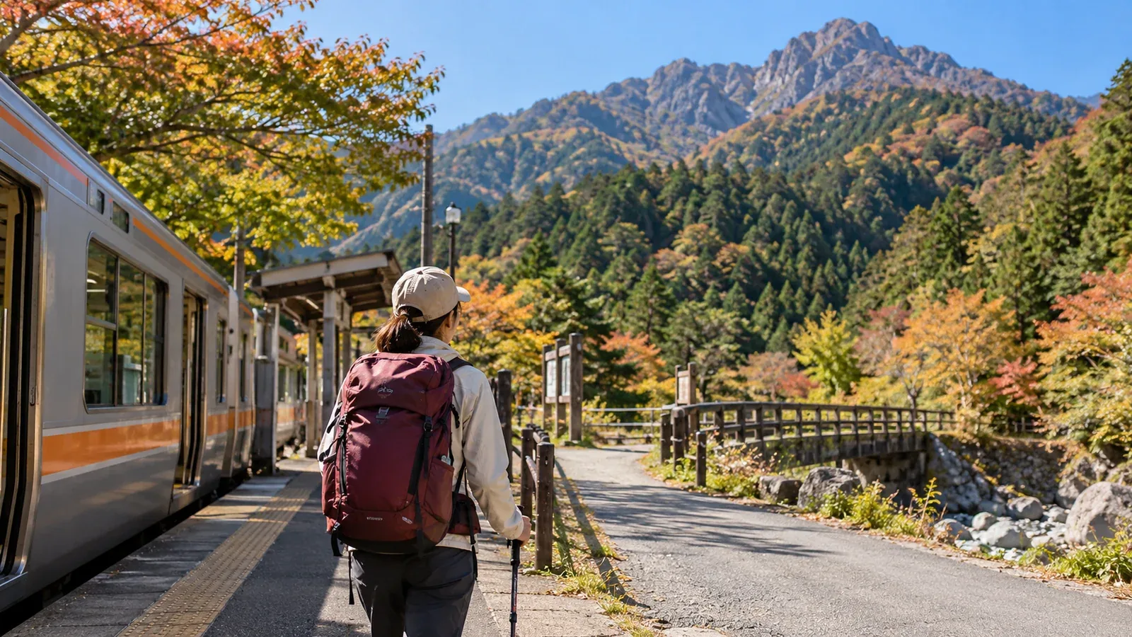
When you pick a day hike in Kantō, consider your fitness, experience, available time and departure station. The slope and the distance from the station can vary by route, even on the same mountain. Compare the options with what you can comfortably manage.
This guide gives five checks for your first Kantō day hike by train. Use a map to check walking time and elevation changes. Consult current notices from local authorities, trail and hut managers and transport operators for closures, service and opening hours.
1. Can you walk from the station to the trailhead?
You can get close to some mountains by train and still need a bus that runs infrequently. Check how to continue from the station and how you will get back.
A trailhead within walking distance cuts out a connection. Examples include Mount Takao, a few minutes on foot from Keio’s Takaosanguchi Station, Mount Tenran and Mount Tōnosu, with trail access on foot from Seibu’s Hannō Station, and Mount Hiwada, about 25 minutes on foot from Seibu’s Koma Station.
If you need a bus, check its timetable and last departure beforehand. Missing the last bus can leave you without a way back. Work backward from the return bus when setting your departure time. Consult the operator’s official website.
2. Match elevation gain and walking time to your fitness
For your first hikes, start with a short route that fits how long you usually walk and how much climbing you can comfortably do. Check cumulative elevation gain, including climbs along the way, walking time and any steep or rocky sections. Match the pace of the least experienced person in your group.
Here are some familiar mountains and how to reach them.
- Mount Takao. There are several maintained routes. Walk to the trailhead from Takaosanguchi on the Keio Line. JR Takao is a different station.
- Mount Tsukuba. There is a cable car and a ropeway. Change to a bus for Mount Tsukuba at Tsukuba Station on the Tsukuba Express.
- Mount Ōyama in Kanagawa. The shrine approach has stone steps, and there is a cable car. Take a bus bound for Ōyama Cable from Isehara Station on the Odakyu Line.
- Mount Mitake. Take a bus and then the cable car from JR Mitake Station on the Ōme Line. Check the difficulty separately if you plan to hike to Oku-no-in.
- Mount Nokogiri in Chiba. Trails lead from Hama-Kanaya Station on the JR Uchibō Line toward the former quarries. A forest road collapse affects through access toward Hota. Check Futtsu City’s latest notice.
Check the official operator information for cable car and ropeway service and fares.
Low elevation tells you little about the terrain. On a mountain such as Nokogiri, steep rock on the descent can present a fall risk. Check what the route is like before choosing it.
3. Work backward from the end of your descent
It is easy on a first hike to plan the climb and leave the descent vague. On a day hike, plan to finish the descent in daylight with time to spare.
In autumn the days get shorter. Valleys and woodland can be hard to see in before sunset. Set a finish time well before local sunset that day, then decide when to turn back from the summit or a junction. Allow for breaks and delays.
Work backward in this order.
- Set a target finish time based on sunset, terrain and return transport.
- Start with the mapped descent time and allow for your group’s pace, breaks and delays.
- Decide when to leave the summit.
- Allow extra time for the climb as well, then decide when to start from the trailhead.
- Check the train timetable and set the time you will leave home.
Guidebooks and maps such as Shōbunsha’s Yama to Kōgen Chizu give estimated walking times. Allow extra time for breaks, weather and how you feel.
4. Check seasonal conditions and the weather
In Kantō in autumn, wind and weather can make even low mountains cold. Wind can chill you after you have been sweating. Bring windproof and warm layers that fit over your hiking clothes, and check the forecast temperature and wind for your destination.
On the morning of the hike, check forecasts and warnings from the Japan Meteorological Agency and local information from land managers or visitor centers. Use conditions at your destination to decide whether to go.
Check the official websites of local authorities and trail managers for seasonal opening, closures and works. Typhoons or heavy rain can damage or close trails.
5. Check your basic gear before leaving
A low mountain near a station can feel like an easy outing. Even on maintained trails, you can slip on a descent, lose the path or meet a sudden drop in temperature.
Bring the following gear for the route and season, including on short day hikes.
- Footwear. Choose shoes that fit and are suitable for wet ground and slopes.
- Rain gear. Bring a rain jacket and rain trousers for wet and windy conditions.
- Warm layers. Bring fleece or other insulation suited to the temperature and wind.
- Water and trail food. Bring enough for the duration and temperature, with some extra in case you are delayed.
- Map and compass. Make sure you know how to use them. Download maps for offline use if you use a phone, and carry a paper map as well.
- Headlamp. Bring one in case the descent takes longer than planned. Check spare batteries or the charge.
- First aid kit. Include plasters, tape and any personal medication you need.
An outdoor shop can help you choose this equipment. Try on footwear before buying it.
Choose your first route
Start by checking the journey from the station to the trailhead, then narrow the options to routes you can finish well before sunset. Ask others who hike in the area through Nordwand’s Base Camp or talk to a qualified guide if you are unsure. Before setting out, recheck the latest trail notices and transport schedules.
Further reading
- Japan Meteorological Agency weather forecasts and warnings
- Geospatial Information Authority of Japan maps
- Shōbunsha Yama to Kōgen Chizu hiking map series
- National Police Agency and prefectural police mountain incident statistics
- Official information from local authorities, tourist offices and trail managers
References and sources
- Keio Railway | Takaosanguchi Station
- Hannō City | Walking map from the station to Mount Tenran
- Hidaka City | Getting to Mount Hiwada
- Mount Tsukuba Cable Car and Ropeway | Directions
- Isehara City | Mount Ōyama summit loop
- Mitake Tozan Railway | Getting to Mount Mitake
- Futtsu City | Mount Nokogiri trails and closures
- Kanagawa Prefectural Police | Safe hiking
- Japan Meteorological Agency | Weather forecasts