
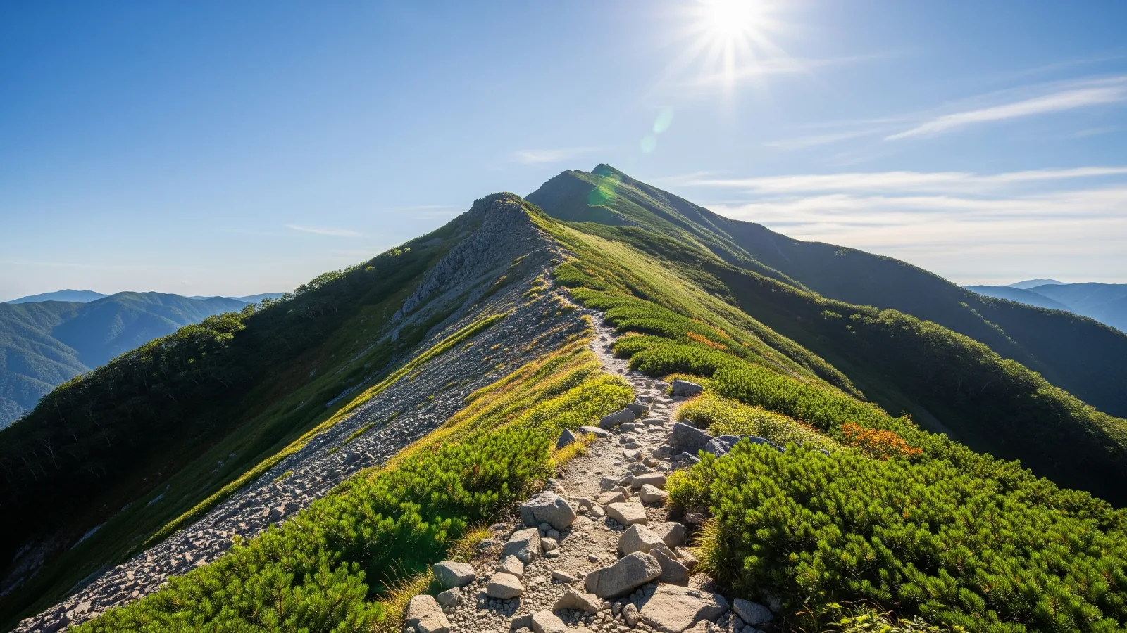
How do you pick a mountain? Maybe the views look beautiful or a friend invited you along. It's easy for beginners and experienced hikers alike to end up on a route well beyond their abilities. In Japan, published mountain grades give you an objective way to judge the difficulty of a route. Here's how to read the ratings and use them to choose your next hike.
Mountain grades measure two kinds of difficulty
Prefectures use a common system to assess and publish difficulty ratings for individual routes. Nagano pioneered the system in 2014 with its Shinshu Mountain Grading chart. It spread to other prefectures, including Yamanashi, Shizuoka, Niigata, Gifu, Gunma, Tochigi, Yamagata, Akita and Toyama.
The two ratings are physical demand and technical difficulty. A fit hiker may struggle on terrain requiring skills they haven't learned. A technically capable hiker can still run out of energy. Rating the two separately helps you see which aspect you need to prepare for.
A short route can still rate high for technical difficulty if it has long stretches of chains or rocky ridges. Check technical difficulty as well as estimated hiking time. That's one of the most useful things the chart can tell a beginner.
Physical demand and the route coefficient
Physical demand is rated on a scale of 1 to 10, with higher numbers requiring more stamina. It comes from a formula known as the route coefficient, based on research by Professor Masayoshi Yamamoto of the National Institute of Fitness and Sports in Kanoya.
The route coefficient is calculated as follows.
Route coefficient = estimated hiking time (hours) × 1.8 + total distance (km) × 0.3 + cumulative ascent (km) × 10.0 + cumulative descent (km) × 0.6
A route rated 3 is within the range that Nagano considers possible as a day hike. A 5 or 6 may call for planning an overnight stay or two, depending on the grade and route. For a rating of 8 or above the prefecture suggests about two to three nights or longer. Adjust these planning ranges to the route and group.
Notice the unusually high 10.0 multiplier for cumulative ascent. It is the largest coefficient per kilometer, so a steep route can rate higher than its length suggests. The actual contribution of each term depends on the route.
Physical demand is a guide for standard conditions. Weather, snow cover and how you're feeling can all substantially change the effort required.
Technical difficulty from A through E
Technical difficulty has five grades, A through E. The hardest section determines the grade of the whole route.
- A. A maintained trail with plenty of signs and a low risk of losing the trail or falling.
- B. Includes streams, cliffs or somewhat steep slopes that call for care. Some hiking experience is expected.
- C. Includes chains, ladders or steep rock. Map-reading skills are also necessary.
- D. Sustained rugged ridges or unstable scree. Route-finding skills are essential.
- E. Sustained and exposed climbing and descending on rugged ridges, with frequent risk of a slip or fall.
Mount Takao's Omotesandō trail is physical grade 2, technical grade A. The Fujinomiya route on Mount Fuji is 5, B in the Shizuoka chart. The Kamikochi loop from Kita-Hotaka to Mount Yari via Daikiretto is 9, E in Nagano’s 2026 list. Compare the grade for the exact itinerary you intend to follow.
The grades assume fair weather and snow-free conditions. Bad weather or lingering snow can make even an A-grade route substantially more dangerous. Use the rating as a baseline for favorable conditions.
Using grades to pick a route that suits you
The most effective use of the chart is to establish your current level.
Start with a route rated 2 or 3 for physical demand and A for technique. See how comfortably you can walk it. With plenty of energy to spare, you might try a 4, B route next. Moving up in steps reduces your chances of getting frightened on unfamiliar terrain or running out of strength before the end.
Grades also give a group a shared vocabulary. Ask what physical grades everyone has walked or whether anyone is new to a technical C. That gives people a chance to compare expectations before setting out.
Prefectures offer free grading charts in PDF format on their official websites. Nagano, Yamanashi and Shizuoka have particularly extensive coverage. Check the relevant prefecture's latest information when planning.
Summary
Japan's mountain grading system describes route difficulty in two ways, physical demand (1 to 10) and technical difficulty (A to E). Physical demand comes from the route coefficient, with cumulative ascent carrying particular weight. The hardest section sets the technical grade, taking trail maintenance and terrain such as rocks into account.
The chart is a baseline for fair, snow-free conditions. Adjust for the weather and how you feel that day. Use the grades to build up gradually and keep enjoying the mountains for years to come.