
“It's dangerous to hike based on social media alone.” That warning came from someone who makes hiking content. On September 2, 2026, the Shinano Mainichi Shimbun reported that hiking YouTuber Yagi-chan had issued the warning after seeing more women teach themselves to hike through videos and social media. Six days later, on September 8, the paper covered a drill by the Nagano City Fire Department's mountain rescue team and reported that even low mountains popular with beginners have dangerous spots. With foliage season approaching, the figures help us see what gets left out of a post.
Why hiking creators are warning against relying on social media alone
There's something striking about hearing this warning from the creators themselves. Videos and social media have helped more people discover hiking. Now the people who opened that door are saying their own content can only take you so far, even at the risk of underselling their work.
The increase is an observation from people working in the mountains and creating content. Police data offer one related measure. The number of people in their twenties involved in mountain incidents went from 300 in 2024 to 429 in 2025, and their share rose from 8.9% to 11.8%. Those figures measure incidents and show a change among younger people. A separate count would be needed to establish how many are hiking.
A video usually records a day that went well. When an eight-hour hike gets cut down to ten minutes, the missing bits are usually the fifteen minutes spent looking for the trail, the half hour someone spent sitting down, or the discussion about whether to turn back. What we see on social media is a skewed sample of successful hikes people felt like sharing.
More people got into trouble on 599 m Mount Takao than in the Hotaka Range
The National Police Agency's overview of mountain incidents in 2025, published on June 18, 2026, includes a chart for major mountains. It records 106 people involved in incidents on 599 m Mount Takao in 2025, and 78 in the 3,190 m Hotaka Range. In 2024 the figures were 131 and 66, respectively. The lower mountain again had the higher headcount in 2025. Relative to the five-year average, however, the Hotaka Range saw the larger increase, 38.3% versus 4.5% on Mount Takao.
Mount Takao attracts many more visitors, so comparing headcounts tells us where incidents happened and says little about risk per hiker. All the same, plenty of people need help on a 599 m mountain with a cable car to its middle slopes. By prefecture in 2025, Nagano recorded 358 incidents, Hokkaido 199 and Yamanashi 192. Kanagawa, which has no 3,000 m peaks, was fourth with 175. In 2024 it tied with Tokyo for third at 183.
Low mountains see several kinds of incidents. Hiking app YAMAP's 2025 report notes an increase in incidents in Gifu's low foothills compared with the Northern Japanese Alps. It also points to falls and slips standing out more than lost hikers on Mount Tomi (272 m) and Mount Kinka (329 m). Think about the ground underfoot as well as the route.
As of September 2026, this overview was the latest available annual report. A record 3,623 people were involved in mountain incidents nationwide in 2025, with 332 deaths or missing persons. Among the 1,367 solo hikers involved, 15.3% were killed or went missing, 9.8 percentage points higher than the 5.5% for groups of two or more. These percentages apply to people already involved in an incident.
Low mountains have more junctions than you might expect, and darkness comes early
The Nagano City Fire Department's mountain rescue team was nearing its six-month mark. On September 8, the Shinano Mainichi Shimbun observed the team's fifth drill of the fiscal year, on 923 m Mount Sando in Nagano City's Wakatsuki district. Twelve team members practiced lowering a casualty using ropes and a vertical stretcher. The team's choice of a low mountain for the drill tells you how seriously it takes the terrain where beginners go.
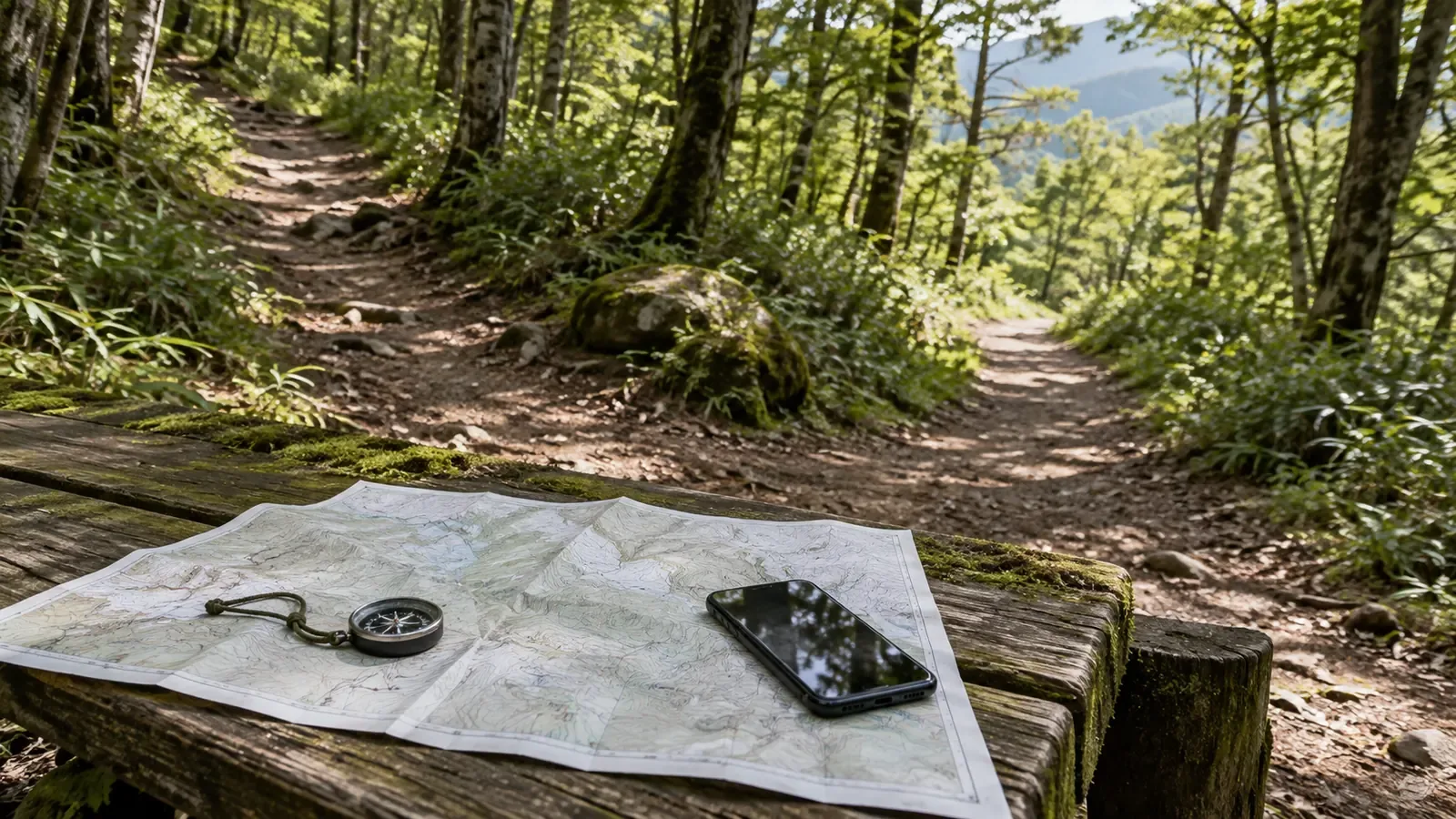
What makes these hills tricky is often the number of trails. Hiking paths mingle with work tracks, animal trails, power-line patrol routes and old local paths. They've all been worn in by people or animals and can look equally convincing. It's common for a clear path to fork without a sign. From inside the woods, distant ridges and summits are hard to see. Bad weather can take away visibility on high ridges as well, so use your map and compass bearing to confirm where you are.
Then there's sunset. The National Astronomical Observatory calculates sunset in Tokyo at 5:26 p.m. on October 1, 2026, and at 4:47 p.m. on October 31, a difference of 39 minutes in a single month. It gets dark earlier under tree cover. Losing the trail becomes much more serious when daylight is running out.
Turn a post into a plan by checking the date, your finish time and the junctions
After seeing a post, fill in these three details before you set out.
- Find the date the photo was taken. Look for the actual hike date rather than the posting date. A hiking log usually records when the activity took place. If a photo lacks a date, fallen leaves, lingering snow and the angle of the sun can suggest a different season. If you're unsure, ask in the comments when the hiker went. Move on to another source if you can't establish the date.
- Set a deadline to be off the mountain. Look up sunset and aim to finish at least an hour earlier as a starting point. Woods, valleys and bad weather can bring darkness sooner, so allow extra time for the terrain and your group's pace. On a route where the outward travel time is hard to predict, set a turnaround time in advance.
- Count the junctions. Use a topographic map or hiking map app to count the junctions on the outward route before you go. If you pass more than expected, it's a sign to stop and check. Unmapped work tracks may cross your path, so confirm your direction and position at each junction as well.
Checking the date is especially useful in autumn. In its first 2026 foliage forecast on September 2, Japan Meteorological Corporation expected temperatures above seasonal averages and peak colors across Japan around the usual time or later. It forecast November 21 for Nagano, nine days later than usual, and November 9 for Sapporo, twelve days later. At 2,300 m in Karasawa Cirque, peak color usually falls between late September and early October. The 2026 forecast for lower elevations is over a month later than the usual peak in Karasawa. If an early-October photo from the Northern Alps sends you to your local hills, the leaves may still be green and your daylight will already be shorter.
What social media can tell you, and what you have to plan
Social media has made it easier to get into hiking than any previous medium. Plenty of people have surely taken up hiking after discovering the autumn colors of a valley they'd never heard of. A post can spark the idea. Turning it into a route plan takes more information.
In the police breakdown by incident type, the share of people who lost the trail fell from 38.9% in 2019 to 30.4% in 2024, then held roughly steady at 30.9% in 2025. The share involving falls rose from 16.8% to 19.2%, and fatigue from 7.5% to 9.8%, both above 2019 levels. The figures alone cannot show how the spread of hiking apps affected these changes. Alongside finding your position, you still need to estimate your stamina and available time. A map app can tell you where you are. The decision to turn back is yours.
What a post rarely captures is how a hiker made decisions that day. Go with someone experienced on your first few outings, and you can see for yourself how they decide to turn back. A local mountaineering club, a guide, or a service that connects hikers, such as Nordwand, can all help you get started.
References and sources
- Shinano Mainichi Shimbun Digital, hiking YouTuber Yagi-chan warns against relying on social media alone and offers advice to women new to hiking
- Shinano Mainichi Shimbun Digital, inside a Nagano City mountain rescue drill and the hazards on low mountains popular with beginners
- National Police Agency, Community Safety Planning Division, Overview of Mountain Incidents in 2025
- National Police Agency, Community Safety Planning Division, Overview of Mountain Incidents in 2024
- Japan Meteorological Corporation, Autumn Foliage Forecast
- National Astronomical Observatory of Japan, Sunrise and Sunset in Tokyo, October 2026
- YAMAP Magazine, 2025 mountain incidents and YAMAP's safety initiatives
- YAMA HACK, A Guide to Hiking Karasawa Cirque During Autumn Foliage Season
- Japan Meteorological Corporation, first 2026 foliage forecast, September 2