
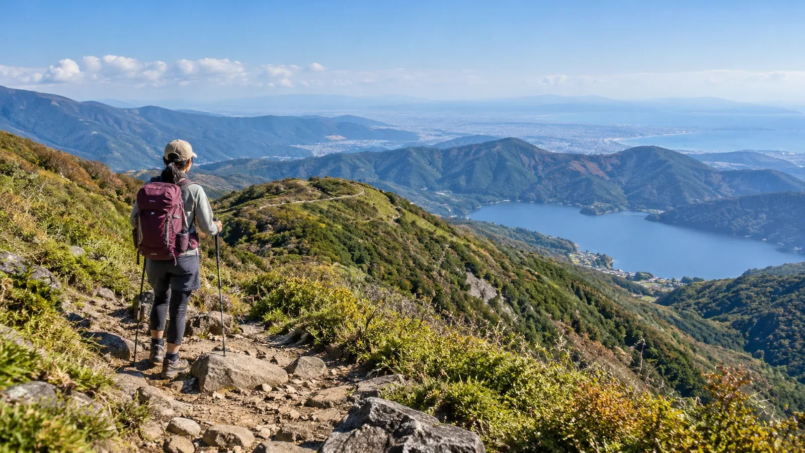
A day hike in Kanagawa can take you along Tanzawa's ridges, across Hakone's volcanic terrain or into the low hills of the Miura Peninsula. Choose a trail that fits your fitness, gear and the season. That makes planning easier than choosing on name recognition alone.
This guide explains how the three areas differ and how to choose one for your fitness and goals. When you plan a route, use guidance from local authorities or trail managers to check distance, elevation change, walking time and access.
The three areas at a glance
Here is what distinguishes them.
Tanzawa contains Mount Hirugatake, Kanagawa's highest peak at 1,673 metres. Walks range from short paths to long ridge traverses, some with substantial cumulative ascent. Check both the climb and descent on the map.
Hakone offers volcanic terrain along the caldera rim, on the mountains inside it and around Lake Ashi. In some places you can use railways, funiculars or aerial ropeways to adjust the distance you walk. Volcanic gas restricts access near Ōwakudani. Check the latest notices from Hakone Town.
The Miura Peninsula reaches its highest point at Mount Ōgusu, about 242 metres. You can choose short routes, some with many junctions or rough footing. Carry water and a map, and check municipal trail notices.
How to choose an area
Consider your hiking experience, the group's fitness and the season.
Experience and fitness
For a first hike, look for a short route with known trail conditions on the Miura Peninsula or in Hakone. On Miura, look for an easy return to a station or bus stop. In Hakone, you can adjust the distance in areas such as Lake Ashi.
At Tanzawa's Mount Ōyama, 1,252 metres, even maintained trails climb steeply below the summit. The long route from Yabitsu Pass to Mount Tō via the Omote Ridge has ups and downs and rough sections. Check distance, total ascent and descent time.
Season
The same route can feel very different depending on the season and weather that day.
On Miura, take summer heat and sun into account and choose a cooler season or time of day. Hakone's caldera rim and Tanzawa's ridges can get snow or ice in winter. Assess the surface and slope on your route. Change plans if you lack the equipment and skills for those conditions.
Before leaving, check the Japan Meteorological Agency and a specialist mountain forecast where available.
Group and goals
For children or people new to hiking, choose a short route where you can turn back partway. In Hakone and on Miura, use maps and timetables to check which routes let you reach a station or bus stop before the end and whether services will be running.
On Tanzawa's main ridges, huts are available, but it can still be a long walk back to transport. To keep the hike short, research the start and finish together and check transport or parking in advance.
What to prepare for each area
Along with the usual footwear, water, rainwear, map and trail food, check the following for your area.
What else to check in Tanzawa
- Trip plan: Kanagawa Prefectural Police provides an online form.
- Leeches: land leeches are active during and after rain in Tanzawa. Cover exposed skin and use gaiters or a repellent as needed, following its label.
- Mountain huts: ask each hut about opening days, closures and terms of use.
What else to check in Hakone
- Volcanic restrictions: some hiking trails around Ōwakudani are closed. The Ōwakudani Nature Trail is a guided visit by reservation and is separate from the hiking trail restrictions published by the town. Check both.
- Transport schedules: if your route uses a ropeway or mountain railway, plan around the last service. If you descend late you may miss the last ride.
What else to check on the Miura Peninsula
- Navigation and closures: take a map and check junctions and municipal notices. Yokosuka City reports that a landslide has closed the Tsukayama–Abekura route on Mount Ōgusu.
- Water: many routes have nowhere to refill, so bring enough drinking water from the start.
Common surprises on a first Kanagawa hike
These are some things to check as you plan.
The climb up Mount Ōyama. Walking from the base without taking the funicular adds elevation. Look up the climbs and descents for each section you will walk.
Fog and changing weather in Hakone. Fog and rain can affect visibility and footing. Use the forecast, sunset and local conditions to decide when to walk. Turn back early if the weather deteriorates.
Junctions on the Miura Peninsula. Hiking routes cross local roads and farm tracks, sometimes with few signs. Check your position on the map.
Land leeches in Tanzawa. Check your clothes and footwear during and after the hike. Read Kanagawa Prefecture's advice on prevention and what to do if a leech attaches.
Exploring all three areas
One way to build experience is to try a short walk on Miura, choose a volcanic landscape in Hakone, then try a long ridge in Tanzawa. Every area has routes you can choose for your current experience.
When you step up the difficulty, identify what changes in walking time, cumulative ascent or trail conditions. For an unfamiliar area, go with someone experienced or use a certified guide through Nordwand.
Next steps
Pick a route on Miura or in Hakone or Tanzawa. Check restrictions, opening and access with the local authority, trail manager or hut. Check the Japan Meteorological Agency forecast before setting a date. Use Nordwand's Base Camp to look for companions, or its certified guide service to find a guide.
References
- Japan Meteorological Agency forecasts and advisories
- Kanagawa Prefectural Police trip plans and mountain accident information
- Hakone Town volcanic restrictions and visitor information
- Ministry of the Environment information on restrictions in national parks
- Kanagawa Prefecture's Tanzawa–Ōyama trail information
References and sources
- Kanagawa Prefecture: hiking in Tanzawa
- Kanagawa Prefecture: Tanzawa–Ōyama trail conditions
- Kanagawa Prefectural Police: mountain accident prevention and trip plans
- Kanagawa Prefecture: precautions against land leeches
- Hakone Town: hiking trail notices
- Hakone Tourism Association: reservations for the Ōwakudani Nature Trail
- Kantō Regional Development Bureau: Mount Ōgusu
- Yokosuka City: hiking trail conditions
- Japan Meteorological Agency: weather forecasts