
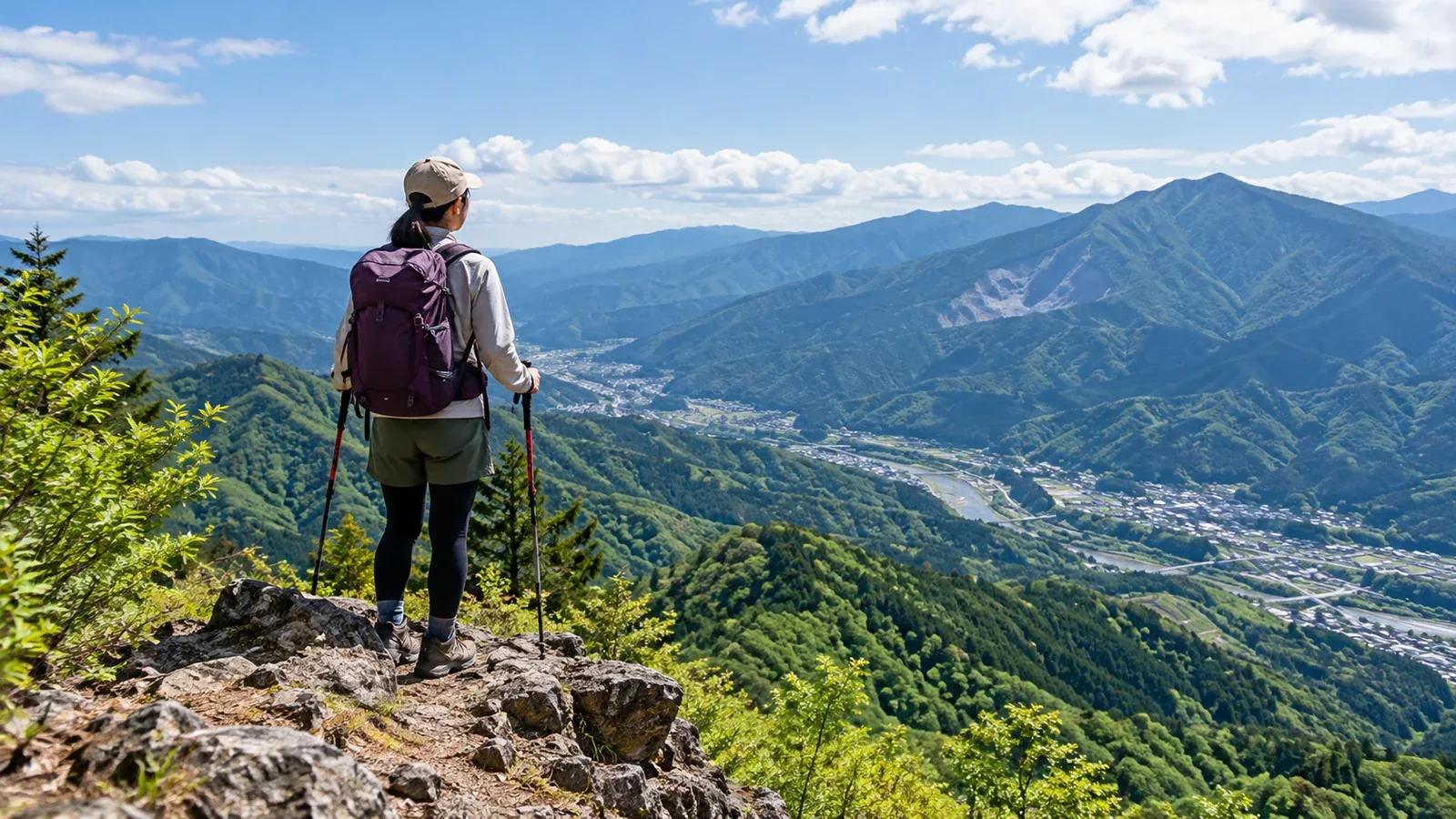
Okumusashi and Chichibu in Saitama have day hikes you can reach by train. The ascent, footing and return transport vary by mountain. Here is how to choose a hike and season and plan the journey by train and bus.
In Okumusashi, trails from Hannō and stops along the Seibu Chichibu Line lead to ridges and streams. In Chichibu, you can visit Mount Bukō or Mount Hodo and stop in town after the walk. Choose a route whose walking time works with your transport.
Low mountains can still have steep climbs, mud and confusing junctions. Days also get shorter from autumn into winter, and a late descent can leave you on a dark trail. Before choosing a mountain, consider your fitness and when you can start.
Why choose Okumusashi and Chichibu, and what should you check?
Okumusashi and Chichibu have trailheads you can reach by public transport. From Ikebukuro, the Seibu Ikebukuro and Chichibu lines serve stops including Hannō, Agano, Yokoze and Seibu-Chichibu. Use the Chichibu Railway for Nagatoro. For each trailhead, check whether you can walk from the station or need a bus or taxi.
On a traverse with different start and finish points, check the trains and buses back first. Some routes have few departures. Confirm days and times with the bus operator or local authority.
Summers are hot and humid, and wasps are another consideration. Autumn is cooler, but sunsets are earlier. Even low trails can ice up in winter, especially in the shade. Change routes if you lack the skills or equipment for the surface and slope.
How to choose a mountain for your fitness
Cumulative ascent and walking time help beginners compare routes. These examples give a sense of difficulty. Time and elevation change vary with the person and route, so check hiking maps or the local trail guide.
Mountains for people with little hiking experience
Mount Hodo has a trail you can reach on foot from Nagatoro Station on the Chichibu Railway, and the summit overlooks the Chichibu mountains. If you are coming through the Nagatoro Alps from Nogami Station, check the tourism association's trail notices. It lists the Kamimawari route as impassable.
Mount Tenran and Mount Tōnosu can be reached on foot from Hannō Station. Choose a short return trip to Mount Tenran or continue along the ridge to Mount Tōnosu, depending on time and fitness.
Once you are ready for a longer hike
The Shirayasawa route on Mount Bōnoore follows a stream before reaching a ridge. Watch for slippery rocks and stream junctions. Saitama Prefecture reports a collapse and detour on the Headwaters Trail. Check the latest notices and signs on site.
There are ridge trails around Mount Takekawa and Mount Izugatake. Compare routes from stations such as Shōmaru and Ashigakubo. On Izugatake, avoid the Otokozaka, which has fall and rockfall hazards, and the Onnazaka, which is closed after a landslide. Use the path between them, as indicated by Saitama Prefecture.
A more demanding outing in Chichibu
Limestone quarrying has given Mount Bukō its distinctive shape. The main approach from Ichi-no-torii involves sustained climbing. Chichibu's visitor guide lists the Hashidate route, or rear approach, as impassable after a collapse. Check your intended route and the latest notices.
How to plan a hike by train
Many routes in Okumusashi and Chichibu are accessible by train. These steps can help you avoid problems after the descent.
- Check buses and trains from the end of the hike first. Work backward from your return service and the walk to the stop or station to decide when to reach the trailhead.
- Set a time to finish before sunset. Use the local sunset that day, the terrain and your pace. Allow for delays and carry a headlamp as a backup.
- Aim for a departure before the last one. Allow for slower walking if someone feels unwell or footing deteriorates. Check whether there is a later departure and decide where to turn back if delayed.
- Submit a hiking plan. Some trailheads have submission boxes. You can also use services such as Compass. Make it a habit, especially if you are hiking alone or visiting for the first time.
- Check whether huts and shops will be open. Few huts on day routes in these areas operate year-round. Pick up water, food and snacks before starting.
Essential equipment
Even on low mountains, taking too little gear makes it harder to handle a change in weather or unexpected fatigue.
- Footwear for the trail: choose a good fit and grip on rock, mud and steep ground.
- Rain jacket and trousers: carry both on a day hike. Check the Japan Meteorological Agency forecast the day before and again in the morning.
- Snacks and water: carry enough with a reserve, as resupply points are limited.
- Headlamp: even with a good plan, you may need it in an emergency. Pack spare batteries too.
- Map, on paper or in an offline app: have one you can use without a signal.
What to watch for in Okumusashi and Chichibu
Check these local points before you go.
Check for bear sightings. Read the latest reports from Saitama Prefecture and local authorities. In bear habitat, follow prefectural advice to avoid hiking alone, make noise to announce your presence and pack out food scraps and wrappers.
Watch for fallen leaves in autumn. They can hide steps and rocks. Check your footing as you walk.
Some Chichibu trailheads are a long way from the station. Ichi-no-torii on Mount Bukō is some distance from Yokoze Station. If walking, check the road and distance. If taking a taxi, confirm how to book and arrange the return.
Hot springs and sightseeing after the hike. There are hot springs and places to eat near Seibu-Chichibu Station, Nagatoro and Ogano. Check each venue's official hours and prices before adding it to your itinerary.
Next steps
Start with a short hike on Mount Hodo or around Mount Tenran and Mount Tōnosu. Record your pace and actual walking time. If you want to try Bōnoore or Bukō, check how the ascent and footing will differ. You can also ask people who hike in the area in Nordwand's Base Camp.
References
- Saitama Prefecture information on bear sightings and hiking
- Mount Bukō Museum and Chichibu City hiking information
- Nagatoro Tourism Association hiking information
- Japan Meteorological Agency weather forecasts
- Geospatial Information Authority of Japan maps
- Yama to Kōgen hiking map for Okumusashi and Chichibu
References and sources
- Nagatoro Tourism Association: Mount Hodo and the Nagatoro Alps
- Hannō City: Mount Tenran scenic site
- Hannō Tourism Association: headwaters trail to Mount Bōnoore
- Saitama Prefecture: natural parks and nature trail notices
- Saitama Prefecture: the trail over Mount Izugatake
- Mount Bukō Museum: Mount Bukō hiking routes
- Chichibu visitor guide: Mount Bukō Hashidate route closure
- Saitama Prefecture: safe hiking
- Saitama Prefecture: bear precautions
- Japan Meteorological Agency: weather forecasts
- Geospatial Information Authority of Japan: GSI Maps