
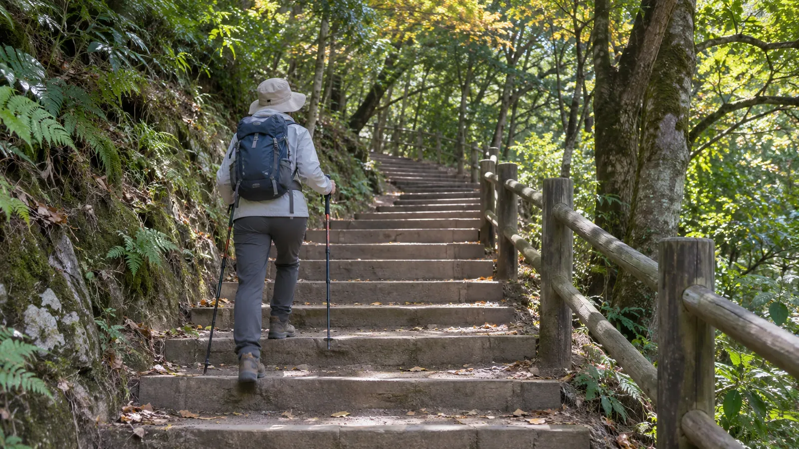
When choosing a hike with lots of steps, compare more than elevation gain. Prefectural grades consider cumulative ascent and descent, estimated time, and distance when assessing physical demand. They rate trail conditions and the skills required separately. The grades give no count or height for the steps. Check the route's overall rating, find the stretches with sustained steps, and consider which trail fits how you walk.
Elevation change is one of four factors in the physical grade
Yamanashi and Gunma prefectures calculate the route score for physical demand as estimated hiking time (hours) × 1.8 + total distance (km) × 0.3 + cumulative ascent (km) × 10.0 + cumulative descent (km) × 0.6. Gunma credits research by Professor Masayoshi Yamamoto of the National Institute of Fitness and Sports in Kanoya. Gifu explains that it divides the score by 10 and rounds up to assign a physical grade from 1 to 10.
The formula assigns 10.0 points for each kilometer of ascent and 1.8 points for each hour of estimated hiking time. A four-hour difference adds 7.2 points, equivalent in the formula to roughly 720 meters of ascent. Even with the same elevation change, two hikes can have different physical grades if their distances or estimated times differ. These figures compare the inputs to the formula. Your body may experience the routes differently.
The descent coefficient of 0.6 is its weight in the route score. It tells you nothing about how descent compares with ascent in terms of knee strain or the chance of falling. Distinguish the difference in elevation between the trailhead and summit from the cumulative change, which includes intermediate climbs. Routes to the same summit can have different ups and downs and very different surfaces.
Comparing two hypothetical routes with the same elevation change
Here is an exercise from the editorial team using two fictional routes. Each has 0.9 km of cumulative ascent and descent. Route P takes an estimated four hours and covers 6 km, giving 7.2 + 1.8 + 9.0 + 0.54 = 18.54. Route Q takes six hours and covers 10 km, giving 10.8 + 3.0 + 9.0 + 0.54 = 23.34. The elevation figures are the same and the route scores differ by about 4.8 points.
With Gifu's method of dividing by 10 and rounding up, P is grade 2 and Q is grade 3. Check each prefecture's own method. This example uses Gifu's explanation. When comparing routes with steps, put estimated time, total distance, ascent, and descent side by side. The source gives no estimate of how much time steps add, so the example assumes no such effect.
Use local guidance to find out what the steps are like
Technical grades from A to E reflect trail conditions and the skills and abilities required. In Yamanashi and Gunma's definitions, A routes are generally maintained, with a low chance of a long fall or slide if you stumble and little risk of losing your way. B can include stream gullies, cliffs, and sometimes snowfields, with steep stretches and parts that are hard to follow. C can include ladders, chains, and stream crossings. D and E can involve rocky ridges, scree, pushing through brush, and steep ground where you need your hands, and require route-finding skills.
The TAKAO 599 MUSEUM guide to Mount Takao gives one example. On Trail 1, Otokozaka has 108 stone steps, while Onnazaka follows a gentler slope. The two paths rejoin. A staircase and a slope can connect the same points, a difference an elevation figure cannot show. The route that feels easier depends on the person. If you want to avoid the steps, check the rest of the route and the distance as well.
The ratings assume good weather and snow-free conditions. Yamanashi and Gifu ask hikers to account separately for risks such as bad weather, lingering snow, poor health, and inadequate preparation. Gunma says difficulty increases under other conditions. Yamanashi compiled its grades in 2016. It advises checking current trail conditions with mountain huts, municipal offices, or police stations because trails may have changed.
A process for reconsidering hikes with many steps
Do this at home. First, narrow your shortlist to two or three routes and record their physical and technical grades from the prefectures' published tables. Gifu warns that a mountain can have multiple routes from the same trailhead and advises checking the exact route. Record the route name. Second, list estimated time, total distance, ascent, and descent alongside the elevation difference. Published fields may vary by prefecture. Leave any missing figures blank.
Third, find where the steps are, how long they continue, whether you will go up or down them, and whether a slope or another trail is available. Check guidance from visitor centers, municipalities, or trail managers and look for recent trail updates. Ask locally about anything that remains unclear. Check when and where photos were taken so you can distinguish past conditions from current ones. If the steps remain a concern, you can switch to a shorter route whose conditions you can verify.
Fourth, for your first hike, start with routes with low physical grades and technical grades close to A. Yamanashi suggests building experience gradually from the lower left of its grading chart toward the upper right. Gunma’s hiking guidance calls for an experienced companion the first time you try a grade and asks hikers to submit a plan. Check the separate statutory filing rules for the designated danger areas of Mount Tanigawa. The National Police Agency recommends allowing plenty of time, identifying hazards and escape routes in advance, and preparing, sharing, and submitting a plan. Set a time or physical condition that would lead you to turn around before a long stretch of steps, while you still have a safe place to do so.
Fifth, write a few lines after you get home about how the steps felt to you. Use that record when choosing your next hike. To take notes or photos during a hike, stop on stable footing and leave room for others to pass. Wait until later if you cannot find a suitable spot.
Summary: Check what the grades measure and look up the steps separately
Elevation change is one of four inputs to the physical grade. The grade gives no count or description of the steps. Compare estimated time, total distance, ascent, and descent, and consider the technical grade separately. Ask a source with current trail information where the steps are. Move any route you cannot verify down your list. At a grade that is new to you, plan to go with an experienced hiker and file a hiking plan. Use the figures as a guide for good weather and snow-free conditions, and leave yourself a safe point to stop if the weather or how you feel changes.
References and sources
- Yamanashi Prefecture: Mountain Route Grading in Yamanashi
- Gunma Prefecture: Mountain Route Grading, Revised April 2025
- Gifu Prefecture: Mountain Route Grading
- National Police Agency: Overview of Mountain Emergencies in 2024
- TAKAO 599 MUSEUM: Exploring Mount Takao
- Takao 599 Museum, Trail 1 and the stone steps
- Gunma Prefectural Police, general advice and filing requirements for designated areas