
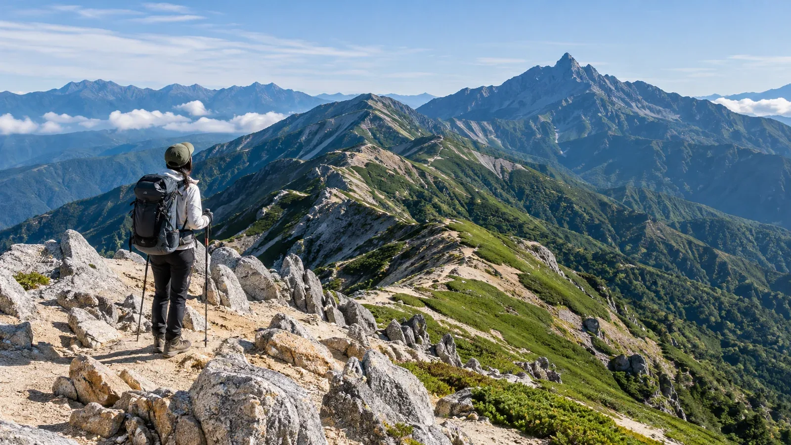
The Omote Ginza traverse begins near the pale granite of Mount Tsubakuro and passes near Mount Ōtenshō on the way to Mount Yari. It’s one of the classic walks in the Northern Japan Alps, with views of the Yari–Hotaka range along the way.
It usually takes three or four days, with long ridges and exposed rock sections equipped with ladders and chains. Along with the fitness for long day hikes, you need experience on back-to-back days and the skills and judgment to cross rocky terrain. If it’s your first time, plan with someone who knows the route or a guide, and decide beforehand what conditions would make you turn back.
How the route fits together
Think of the traverse in three parts: getting up to the ridge, following it, and climbing the summit of Mount Yari.
The usual approach follows Kassen Ridge from Nakabusa Onsen in Nagano. Enzansō estimates roughly 1,300 m of elevation difference and about five hours of ascent from the trailhead to the hut. The summit of Tsubakuro is about 30 minutes each way from the hut. Enzansō makes a natural first overnight stop.
From Enzansō, head toward Mount Ōtenshō. The Omote Ginza passes Ōtenshō Hut, Hut Nishidake and Minamata Nokoshi before following Higashikama Ridge to Yarigatake Sansō. Allow extra time to visit the summit of Ōtenshō or Ōtensō hut. The ridge offers few escapes in bad weather, and the Higashikama section includes ladders and chains.
From Yarigatake Sansō, ladders and chains lead up the rocky summit pinnacle. Ask the hut where you can leave your main pack, take essential gear in a small pack and wear a helmet. Build in time for queues.
Choosing how many nights to spend
A three-day, two-night option
One option is to sleep at Enzansō on day one and at Yarigatake Sansō on day two, after passing Mount Ōtenshō and Higashikama Ridge. Descend via Yarisawa to Kamikochi on day three. Day two is particularly long. Decide whether to climb the pinnacle based on weather, queues and fatigue. If you can’t finish in daylight or catch the transport, add a day or choose a shorter route.
A four-day, three-night option
Azumino’s suggested itinerary goes from Nakabusa to Enzansō on day one, including a return trip to Mount Tsubakuro. Stay at Hut Nishidake on day two and Yarigatake Sansō on day three, with an optional summit round trip included in the suggested timing. On day four, descend via Yarisawa and Yokoo to Kamikochi. The descent alone is estimated at 7 hours 20 minutes of walking. Ōtensō and Ōtenshō Hut are different huts. Changing the overnight stop changes the length of the stages.
Long day hikes and consecutive days with a full pack feel different. Estimate your pace from similar terrain with a comparable load. Allow for breaks, delays at ladders and the summit, and the pace of your companions.
Season and weather
For a snow-free trip, look at summer through early autumn and check hut opening dates and any lingering or new snow. An open hut doesn’t mean a route planned for dry ground is suitable when the trail is snowy or icy.
July and August bring crowds to the trail and huts. Start early and plan to be off exposed ridges early because thunderstorms are common in the afternoon. Change the plan if thunderstorms are forecast or approaching, whatever the time.
September to early October can bring cold mornings and evenings, early snowfall and ice. The autumn colours are beautiful, but wind and wet clothing can chill you. Pack warm, windproof and waterproof layers, and postpone if snow or ice is beyond your skills or gear.
Some parts of the ridge have no phone signal. Before leaving, check the forecast for the whole trip, Japan Meteorological Agency warnings and advisories, and updates from the huts. Save maps and essential information offline.
Gear priorities for an overnight traverse
Beyond your day-hike kit, consider what you need for the extra days and how much it weighs.
Clothing layers
The ridge can feel quite different when you stop walking.
- Base layer. Choose wool or synthetic material that moves moisture away from your skin.
- Mid-layer. Bring a fleece or light down jacket for breaks and the night even if you don’t need it while walking.
- Outer layer. Keep waterproof, breathable rain gear where you can reach it quickly on the ridge.
Cotton dries slowly when wet and draws away heat, so hikers generally avoid it for this kind of traverse.
Footwear
Wear well-fitting hiking footwear with grip you’ve tested on wet rock and uneven ground. Practise moving on similar terrain with the load you’ll carry on the traverse.
Packing for huts
Staying in huts lets you leave the tent at home. Check each hut’s booking rules, meals, required bedding and water supply. Confirm what’s available before deciding what food and water to carry.
Two places to assess carefully: Higashikama Ridge and the summit pinnacle
Get familiar with these two sections before the trip.
Higashikama Ridge. From Hut Nishidake, the route descends steep rocky ground to Minamata Nokoshi and climbs again. Watch for ladders, chains and rockfall, and wear a helmet. Check footholds and handholds and move one at a time. If wet rock or strong wind makes it too difficult, use the retreat route you checked in advance. Check the condition of the escape trail from Minamata Nokoshi to Yarisawa beforehand too.
Mount Yari’s summit pinnacle. The upper route uses steep rock and ladders. Follow the marked directions for ascent and descent and give people in front room to move. If crowds, wet rock, wind or fatigue make it too difficult, skip the pinnacle and descend.
Choose your descent before leaving
Deciding where to finish is part of planning the traverse.
Down to Kamikochi. Descend via Yarisawa Lodge and Yokoo. Walking continues beyond the long descent, so estimate your time to the bus terminal and check the last departures and reservations for Matsumoto or Shinjuku.
Back to Nakabusa Onsen. Retracing the route means another crossing of the rocky sections and several climbs. It’s a long way back from Mount Yari, so decide on a turnaround point early.
Works and rainfall can restrict the road to Nakabusa Onsen. Check Azumino City and Nagano Prefecture for road and bus information. For Kamikochi, check the operator’s running dates, last departures and booking requirements.
What to do next
Start with hut availability, transport to the trailhead and the last service home. Plan for the effort of consecutive days and record when and where you’ll turn back in bad weather or if delayed. You can also exchange information with people who know the route in Nordwand’s Base Camps.
References
- Japan Meteorological Agency: weather warnings and advisories
- Nagano Prefecture: hiking safety and areas where helmets are recommended
- City of Azumino and Alpico: access roads and transport
- Geospatial Information Authority of Japan: GSI Maps
- Enzansō, Yarigatake Sansō and Azumino Tourism: route guides
References and sources
- Enzansō Group | Omote Ginza route map
- Yarigatake Sansō Group | From Ōtenshō Hut to Yarigatake Sansō via Higashikama Ridge
- Azumino Tourism Association | Suggested Omote Ginza itinerary
- Yarigatake Sansō Group | Summit advice and frequently asked questions
- Yarigatake Sansō Group | Trail conditions
- Nagano Prefecture | Areas where a climbing helmet is recommended
- Nagano Prefecture | Hiking safety guidelines
- Japan Meteorological Agency | Weather warnings and advisories
- City of Azumino | Nakabusa road restrictions
- Alpico | Kamikochi to Matsumoto transport
- Alpico | Kamikochi to Shinjuku bus
- Geospatial Information Authority of Japan | GSI Maps