
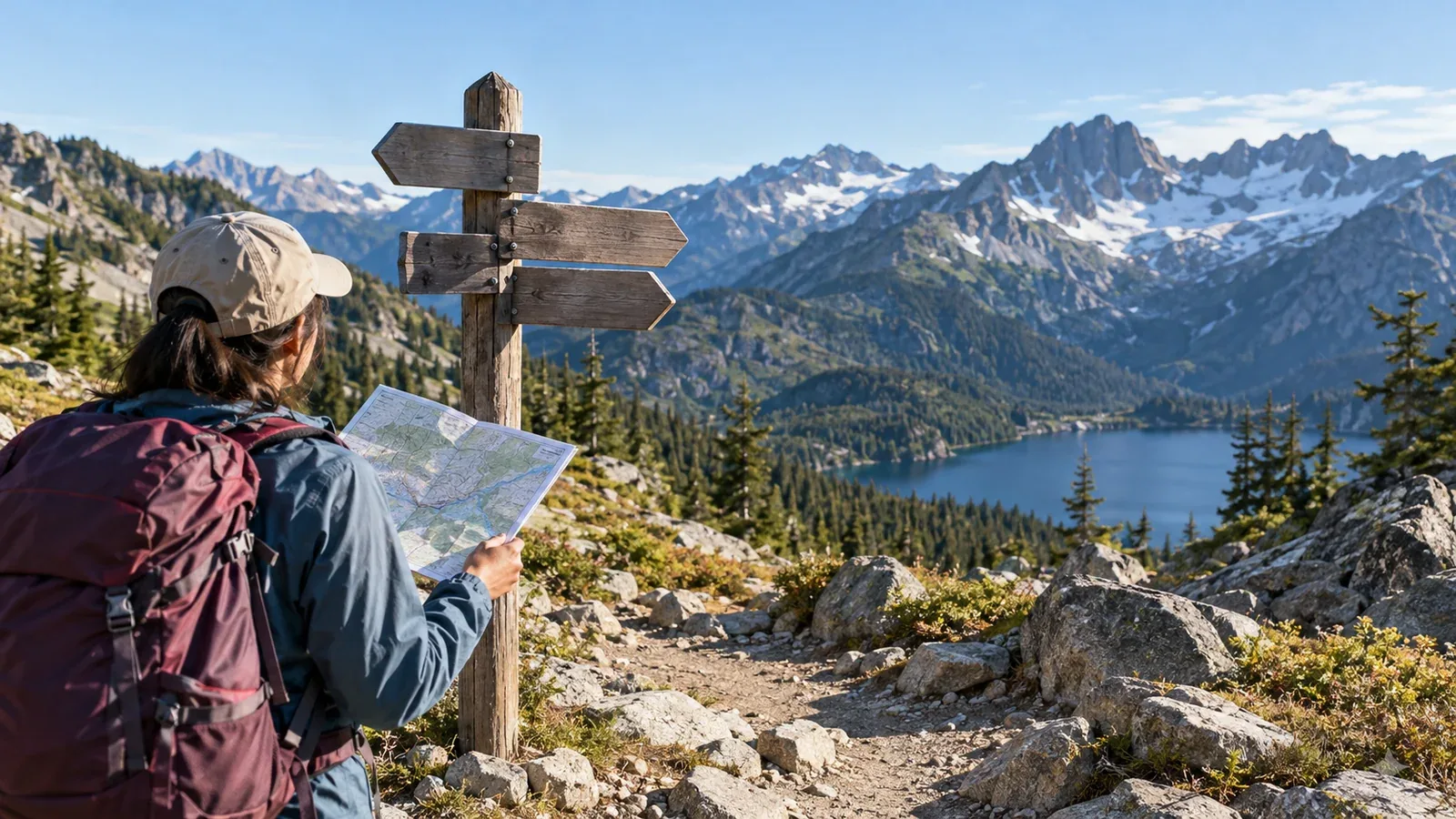
On an overseas hike, signs and maps can tell you about hazards and route choices that your guidebook may not mention. Learn to read them before you need to make a decision on the trail.
English and Japanese hiking terms do not always match one to one. Summit, peak and top can all refer to the top of a mountain. A cairn is a pile of stones that marks a summit or a route. Knowing the differences helps you interpret signs in an unfamiliar range.
This guide explains words used on maps and signs in English-speaking parks and mountain areas, from terrain and difficulty ratings to warnings and restrictions.
Terrain and place names
Start with the words for terrain features. A ridge, a saddle and a pass each describe a different feature or way through it.
Summits and ridges
- Summit / Peak: The top of a mountain. Peak often suggests a distinct high point and appears in names such as Longs Peak.
- Ridge: A long, raised line of ground. “Follow the ridge” tells you to stay along it.
- Crest: The highest line of a ridge or mountain chain. It can coincide with a divide, the line that separates drainage basins.
- Saddle / Col / Pass: A saddle is a low, saddle-shaped point between higher ground. Col is a mountaineering term for such a gap. A pass is a way over or through the mountains.
Valleys and water
- Valley: A general word for low ground between hills or mountains.
- Canyon: A deep valley with steep sides, common in North American place names.
- Gorge: A narrow valley, often with steep walls on both sides.
- Creek / Stream / River: Terms for flowing water of different sizes, with local variations. “Ford the creek” means to cross it on foot without a bridge.
- Waterfall / Falls: Water dropping over a steep step. Falls often appears in place names.
Open ground and forest
- Meadow: An open area of grass, including in some alpine terrain. Check the local rules before camping.
- Timberline / Treeline: The approximate upper limit of continuous forest. Trees are sparse above it and there is little shelter from wind or rain.
- Alpine zone: High mountain terrain above the treeline.
Words for routes and signs
Trail signs tell you the type, distance and direction of a route and what facilities are available.
Types of route
- Trail: A general term for a hiking trail. The standard of maintenance varies.
- Path: A small way on foot, with considerable overlap with trail. Check the map legend for its width or standard of maintenance.
- Route: A general word for a way through. When used in contrast to trail, it can indicate a section that requires navigation. A “cross-country route” may have little or no visible tread.
- Track: Used much like trail in Australia and New Zealand.
Distance and time
Some countries use miles, others use kilometres, including New Zealand and Canada. One mile is about 1.6 km, so “2.5 miles to summit” means about 4 km of walking.
A sign may say “Estimated hiking time: 3–4 hours.” Check how the manager calculates this and whether breaks are included. Pack weight, weather and the people walking all affect the actual time.
Signs at junctions
- Junction: A place where trails meet. It may be labelled “Trail Junction.”
- Trailhead: The start of a trail, often with parking or a place to register.
- Waypoint: An intermediate point saved on a map or GPS.
Reading difficulty ratings
English-speaking regions use different difficulty scales. Here are common examples.
National parks in the United States and Canada
You may see labels such as “Easy,” “Moderate,” “Strenuous” and “Difficult.” The categories and definitions vary by park.
- Easy: Typically little elevation change and an even, maintained trail.
- Moderate: Some elevation change or uneven ground.
- Strenuous: May involve steep climbing, long distances or rocky ground.
- Difficult / Challenging: May require technical skill or a high level of fitness.
The same “Moderate” rating can describe different demands in different parks. Check elevation, distance and technical features on the map before deciding.
New Zealand Department of Conservation (DOC)
You may see terms such as “Easy Tramping Track,” “Tramping Track” and “Route.” The DOC's current visitor guide has six categories, from wheelchair-accessible short walk to expert route. Individual descriptions may mention remoteness or navigation. An expert route is unformed and requires strong navigation skills.
Warnings and restrictions
Missing a warning on a sign can have serious consequences. These phrases are worth recognizing.
Hazard warnings
- Hazardous conditions: Conditions such as rockfall, high water or ice.
- Trail closed: No passage. The reason may be “due to rockfall,” “due to flooding” or “due to wildlife activity.”
- Proceed at your own risk: You are responsible for deciding whether to continue. Read the other warnings and current notices to identify the hazard.
- Turn back if conditions deteriorate: Retrace your route if the weather or ground conditions worsen.
- Creek crossing may be impassable during high water: A stream can be impossible to cross when it rises. Conditions change with the season and rainfall.
Rules for visitors
- No camping within X miles of the lake: Camping is prohibited within the stated distance of the lake.
- Permit required: Check which activity requires a permit, such as entry or an overnight stay. Check the manager's official website before reaching the trailhead.
- Bear canister required: Food must be stored in a bear-resistant container in the relevant area.
- Leave No Trace: A set of practices that includes packing out waste and protecting vegetation.
Map symbols and the legend
Look for the legend, or key, on an English-language map. Symbols may differ from those on Japanese maps, so check them before walking.
Common map terms:
- Contour line: Connects points of the same elevation.
- Elevation: Height above sea level, in feet or metres.
- Magnetic declination: The correction for compass use, which varies by place and year. It may appear in the map margin.
- Scale: The relationship between distance on the map and on the ground.
- Trailhead parking: Parking at the start of a trail.
- Backcountry campsite: A designated campsite away from developed areas.
- Water source: A place to obtain water. Check separately whether it is safe to drink.
Check the publication date and edition. An old map may miss reroutes or facilities that have closed. Ask a visitor center or ranger station for current information.
Before you go
Read the legend on the map for your planned trail and look for words like Route, Trail and Pass. Photograph warnings you encounter so you can check their meaning before setting out. Confirm permits and current restrictions with the park, local authority or conservation agency. On Nordwand's Base Camp, experienced hikers may be able to point you toward current local information.
Further reading
- U.S. National Park Service
- New Zealand Department of Conservation
- Geospatial Information Authority of Japan, map-reading resources