
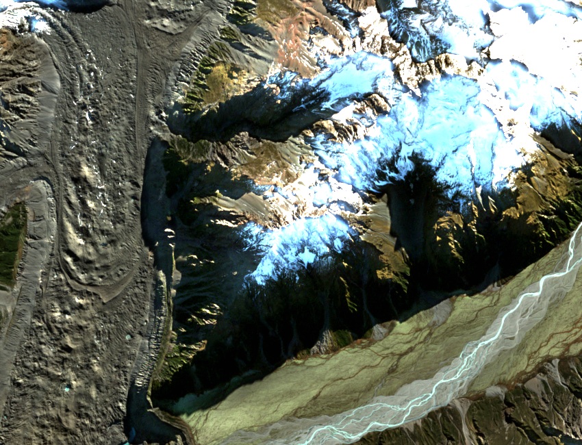
A ridge between glaciers
In 1962 University of Auckland geologist A. R. Lillie documented steeply tilted, folded layers of greywacke sandstone and siltstone along the Malte Brun Range. The fold of the rock records a period of compression. Glacial erosion later deepened the valleys on either side of the range.
From Ball Hut to The Twins
On 28 February 1926 D. Barker climbed The Twins from Ball Hut with guides V. Williams and F. Alack. The government’s climbing record of that ascent lists a height of 8,030 feet, about 2,448 metres.
In January 1931 R. Syme, L. S. Bryant and Gordon Mace crossed Haupapa / Tasman Glacier and traversed the ridge. The Otago Witness described their passage from Novara Peak across snowfields to The Twins, then onward toward Mount Johnson. From that ridge the climbers could see down to both the Tasman and the Murchison glaciers.
Two names on the ridge
The 1927 government report has separate entries for “The Twins, Novara Peak” and for “The Twins” alone. The present New Zealand Alpine Club guide distinguishes the North Twin of Novara Peak at 2,298 metres and the South Twin at 2,230 metres. The name survives locally in the guide’s Twins Route and on the geographic board’s map, which places The Twins between the two Novara tops.