
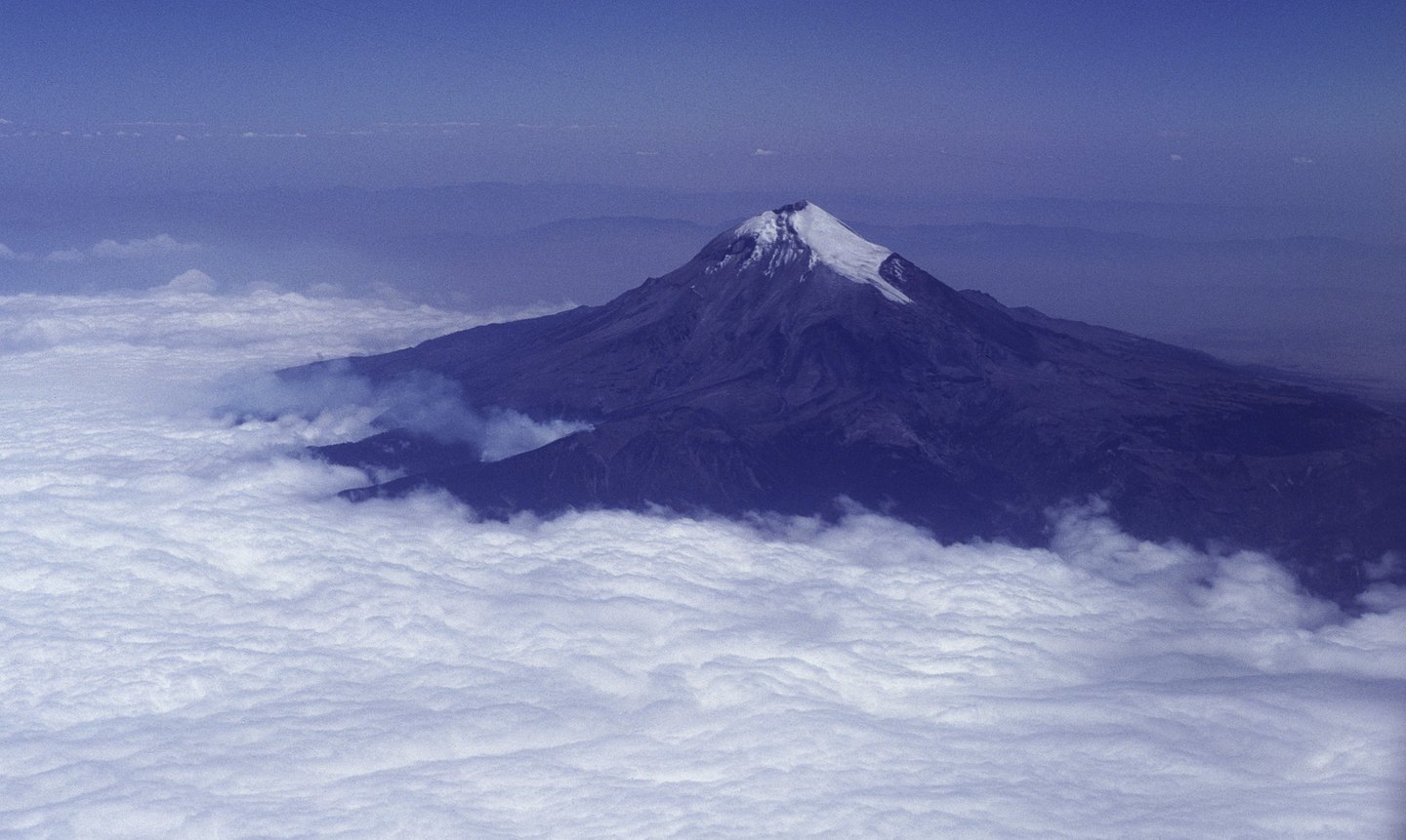
Elevation and nomenclature: Citlaltépetl and its measurements
The Instituto Nacional de Estadística y Geografía (INEGI) records the elevation of Pico de Orizaba in its table of principal elevations for the state of Puebla as 5,610 meters, with coordinates 19°01′47″ N and 97°16′03″ W. CONANP reproduces the same figure and notes that it is the highest protected mountain in the country. The official designation incorporates both names — the Spanish and the Nahuatl Citlaltépetl — which coexist in institutional and popular usage.
It is worth noting that various sources have published different elevation values for this summit over the years. The figure of 5,610 meters is the one used by the Mexican institutions cited — INEGI and CONANP — and it is the figure that should be used with explicit attribution to these bodies. The geographic coordinate published by INEGI places the summit in the northern part of the state of Puebla, on its boundary with Veracruz.
The national park: the 1937 decree and its protective mandate
Parque Nacional Pico de Orizaba was established by a decree published on January 4, 1937 in the Diario Oficial. The text of the decree directed protection toward three main objectives: the conservation of native tree species, the prevention of soil erosion, and the long-term maintenance of water capacity. This focus distinguishes the park's function from that of the volcano itself: the protected area encompasses not only the glaciated summit but also the forests on the lower slopes that sustain the watershed.
Administration of the area falls to CONANP, which situates the park within its Coastal Plain and Gulf of Mexico Region. This regional classification underscores the ecological connection between the high mountain and the hydrographic system that drains into the Gulf — a relationship the 1937 decree already anticipated by linking forest protection with water supply.
The Jamapa Glacier and the neighboring volcano Sierra Negra
CONANP identifies the Jamapa Glacier as the glacial feature associated with the Orizaba summit. The meltwater has given rise to a particular local name: Alpinagua, the term used by area residents to refer to features connected with that snowmelt, as recorded by CONANP in its description of the area. These local names form part of the cultural heritage linked to the volcano.
About seven kilometers to the southwest of Pico de Orizaba rises Sierra Negra, also known as Tliltépetl, an independent extinct volcano that is not a subsidiary summit of Orizaba. Sierra Negra is the site of the Large Millimeter Telescope, a scientific installation of international standing. Although their geographic proximity often leads to them being mentioned together, they are distinct volcanic edifices with their own geological histories.