
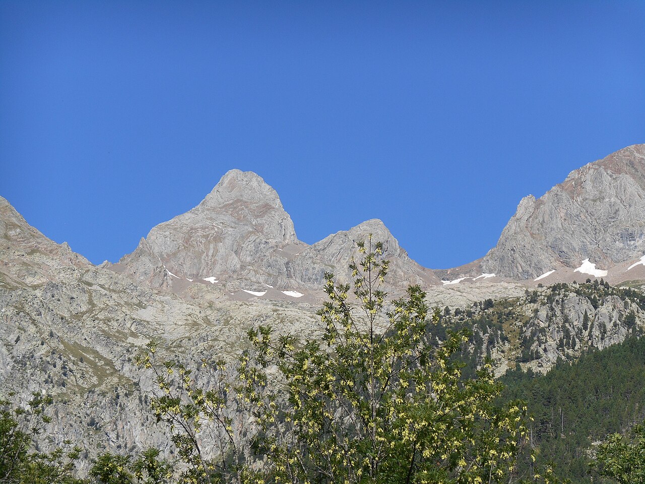
A name of Aragonese origin
According to toponymic research published by the IGN, the Aragonese word arruela — denoting stony ground with short grass valued by livestock — is the origin the author proposes for the name Argualas, presented as a linguistic hypothesis. The toponym appears under different spellings in nineteenth-century documents and in the Pyrenean cartography of that era, reflecting a designation that was then in the process of being standardised.
Franz Schrader and the "Pic d'Algas" of 1882
In the 1882 yearbook of the Club Alpin Français, Franz Schrader published an account entitled Panticosa et le Pic d'Algas, the spelling of the era for the summit now called Argualas. From it he recorded with his orograph — invented by him in 1873 — a panorama of the Pyrenean horizon. The text remained an early reference for the name that circulated among the explorers of that generation.
The rock glacier of the massif
In the cirque of the Argualas massif there is a rock glacier: a mass of blocks and frozen material that moves slowly under its own weight. Between 1991 and 1994, Serrano et al. measured its surface movement by topographic monitoring and obtained a mean axial velocity of 22.3 cm/year for that interval, a result published by the CSIC in 1995.