
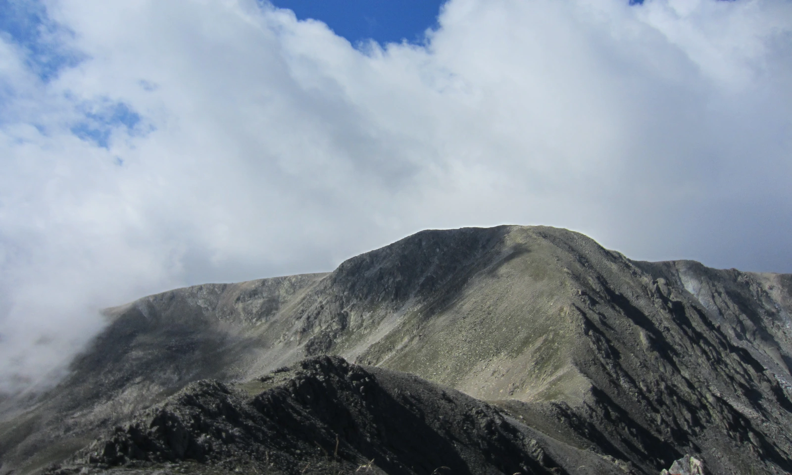
Two names on the border
The mountain carries two names depending on the administrative side of the border: Pic de la Portelleta in Andorran usage, Tossa Plana de Lles in Catalan. A 2013 photograph taken from the Tosseta de Vallcivera shows the characteristic broad, flattened top and steep rocky faces that define the summit profile, with cloud mass gathering above the exposed ridge. The site management commission records a glacial cirque on the valley side of the peak, a separate col nearby, and the alignment from the cirque down toward the Madriu River — features that together map the mountain's relationship to the broader valley system.
Where ice shaped the upper valley
Ice shaped the Madriu–Perafita–Claror Valley into a U-profile and hollowed cirques into the upper slopes, leaving high-altitude lakes scattered through the protected landscape. The ice cut into granite at Gargantillar and l’Illa and metamorphic rocks near Port Negre. On northern slopes within the valley, relict rock glaciers record the former downslope movement of ice mixed with coarse rock debris.
Shepherds’ shelters and shared pastures
Andorra's national heritage inventory describes dry-stone construction — walls and structures built without mortar — distributed across high pastoral zones and along sections of old routes. The management commission distinguishes cabanes, used as shepherd shelters, from pletes, which served as livestock enclosures. A 2007 archaeological field report from the Institut Català d'Arqueologia Clàssica identified sites at Orris de Setut and Pla de l'Ingla; the structures and material the team found point to several periods of use. UNESCO's recognition of the landscape cites a communal land regime with roots extending to the thirteenth century.
From the valley forge to World Heritage
The Andorran National Archive records the Farga i Ferreria del Madriu — a Catalan-type forge and ironworking complex operating in the valley below the high pastures — under the date range 1732 to 1836. The 2004 World Heritage inscription ties together the ice-cut valley floor, the geological relief that frames the summit, and the accumulated dry-stone evidence of centuries of communal land use into a single designation recognising the Madriu–Perafita–Claror Valley as a cultural landscape of outstanding universal value.