
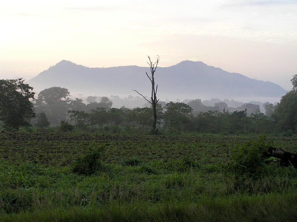
The Togo Mountains and Agou's Setting
Togo's national integrated water resource management plan describes the Togo Mountains as stretching 350 kilometres along a northeast–southwest axis through the country. Mount Agou sits within this chain near Kpalimé. Tourism documents record villages on Agou's slopes and a broadcast antenna near the summit.
The Gilbertsons' 2021 Differential-GPS Survey
On 13 December 2021, Eric and Matthew Gilbertson measured two summits using differential GPS, reporting uncertainties as 95% confidence bounds. Agou registered 985.628 metres with an uncertainty of ±0.85 metres. Atilakoutse, located farther north, registered 991.743 metres with an uncertainty of ±0.15 metres. The two confidence bands do not overlap, placing Atilakoutse unambiguously higher. Historical triangulation surveys had long assigned the high-point designation to Agou, and the Gilbertsons' campaign resolved the question with a precision those earlier methods could not achieve.
Butterflies at Agou and Klouto
A 2009 study by Sáfián, Csontos, and Kormos recorded 170 butterfly species across Mount Agou and the Klouto area combined. The authors identified a mixture of tropical forest species, savanna-associated species, and generalists. They interpreted this faunal composition as reflecting past deforestation, with habitat loss having created conditions that favour generalist and savanna species alongside remnant forest species at both sites.