
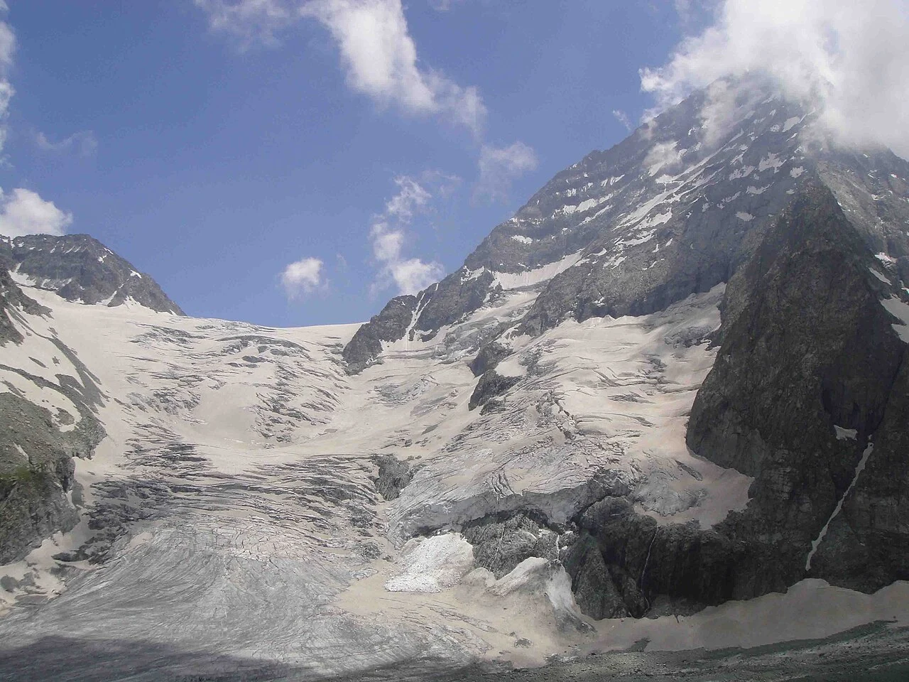
Survey, Name, and the 1912 Map
Kenneth Mason participated in the early plane-table survey work that informed the 1912 Survey of India map of this area. Accounts associated with Mason record both Kolahoi and its local designation Gashibrar. Mason's simultaneous roles as surveyor and climber were characteristic of Greater Himalayan fieldwork in this period.
First Ascents by Two Routes
Mason and Ernest Neve reached the main summit on 28 June 1912, approaching from the east. In 1935, John Hunt and Brotherhood climbed the south face, engaging steeper terrain than the 1912 east-side line. Hunt later led the 1953 Everest expedition; the 1935 Kolahoi climb belongs to his earlier Himalayan record.
Glaciological Monitoring Since 1857
ISRO's Space Applications Centre combined historical maps from 1857 with satellite imagery through 2013 to analyse the Kolahoi Glacier. That study reported approximately 2.5 kilometres of snout retreat over the interval, a measurement of the glacier's lower terminus distinct from the surveyed 5,425-metre elevation of the main summit.