
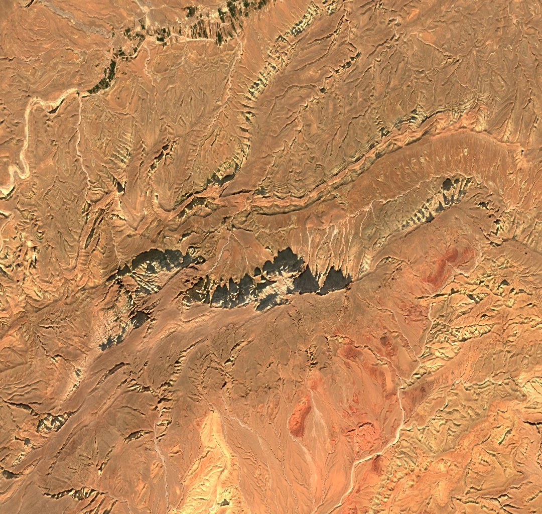
The ridge and its ravines
The satellite image shows a ridge cut by steep ravines. French operational records name the summit Ouksersou or Oukserksou and give its height as 2,921 metres. The highest cell in a modern Copernicus elevation sample of the ridge was about 2,913 metres.
The oral account recorded by Michael Peyron places the battle in the country around Aghbalou n-Kerdous, in the Ghriss area.
August 1933
Amazigh fighters and their families sought refuge on the mountain during the French protectorate campaign. The French account dates the encirclement from 7 to 26 August and records converging forces seizing water sources. Fighting continued around the summit on the 25th. The position fell the next day, and according to Peyron, Zayd Ou-Skounti surrendered that afternoon.
Voices in the record
The Moroccan archive holds files on the 1933 campaign, and the government remembers Jbel Baddou as part of a longer history of resistance. The local account recorded by Peyron also names volunteers from communities including Ayt Merghad. Peyron compares this account with contemporary reports and traces how some episodes and names came to be remembered together.