
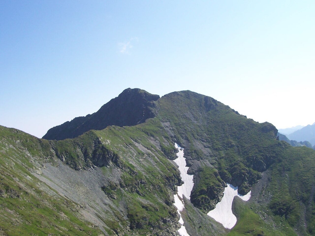
Summit Morphology and Glacial Setting
The summit rises above the Bâlea glacial basin, a cirque environment documented in the Sibiu County Council's inventory of the Bâlea glacial reserve and its surrounding high peaks. The upper terrain is characterised by exposed rock, with snow patches persisting below the crest into the warmer months as recorded in photographic documentation of the summit. A topographic study published by Babeș-Bolyai University situates Vânătarea lui Buteanu within a defined ridge group, distinguishing it from the adjacent landforms of Văiuga and Iezerul Caprei that occupy the same high terrain.
Survey References and Neighbouring Summits
Salvamont Sibiu maps and references the summit at 2,507 metres, a figure also carried by GeoNames, Mapcarta, and OpenStreetMap at the coordinate point approximately 45.60437 N, 24.63196 E. Muchea lui Buteanu, lying close by at around 2,506 metres, is a distinct summit within the same group rather than an alternate name for Vânătarea lui Buteanu. Salvamont Sibiu identifies Vânătarea lui Buteanu by name and records its elevation as 2,507 metres.
A Disputed Toponym with Documented History
The name appears in historical records under two spellings — Vânătoarea lui Buteanu and Vânătarea lui Buteanu — which a toponymic study published by Munții Noștri traces through nineteenth-century local documents and later cartographic sources. Both forms refer to the same summit, and the study documents their coexistence in the written record without resolving the question of which spelling reflects the original local usage. The name's meaning and the identity of the person Buteanu commemorates remain subjects of discussion rather than settled facts in the sources examined.