
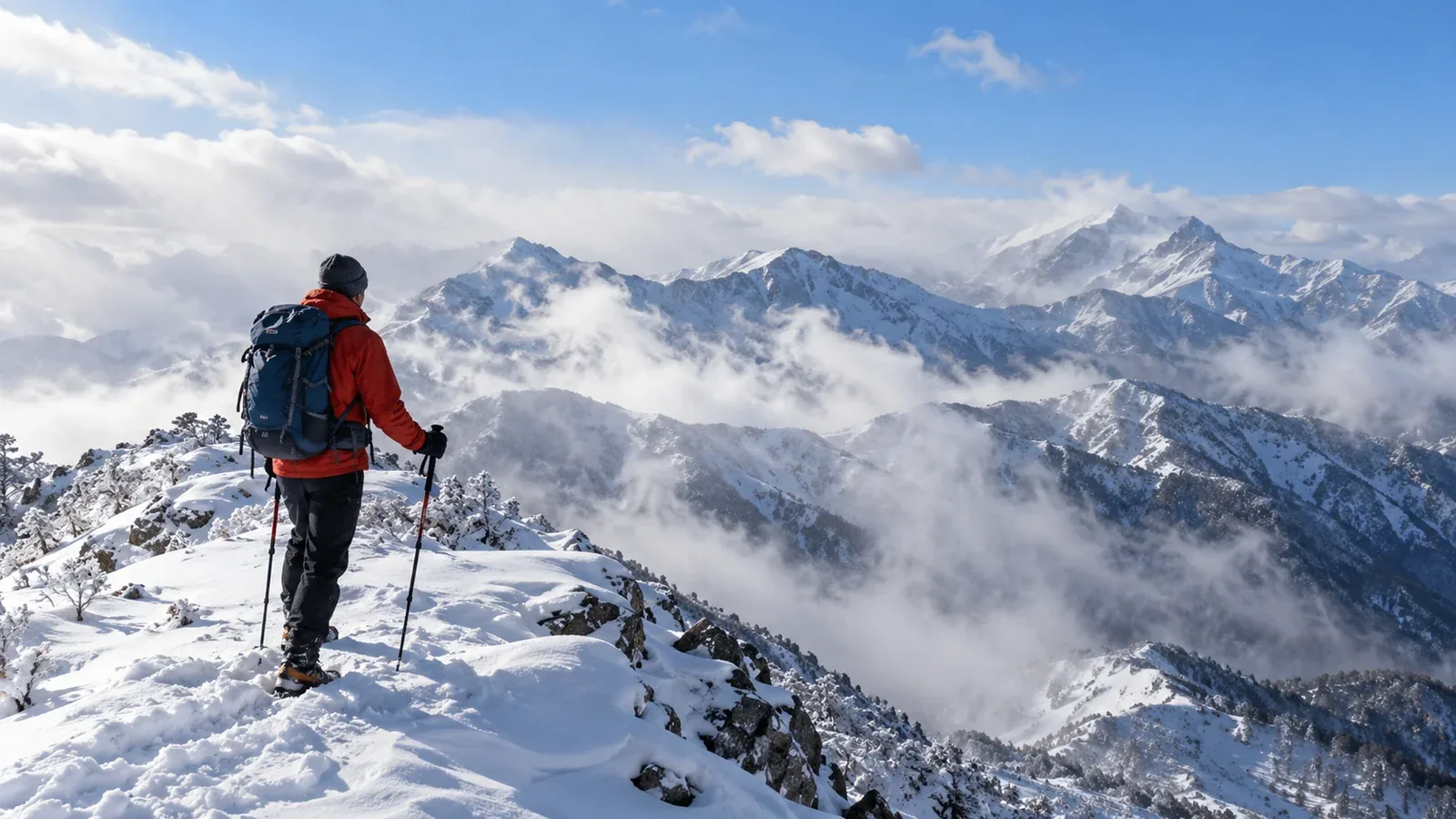
A calm start in the valley can be followed by strong gusts, drifting snow and poor visibility on a ridge. Check conditions at the elevation of your route and decide in advance what will make you change plans.
This guide explains Japan’s typical winter pressure pattern, how to use weather forecasts for exposed terrain and what to watch for once you’re on the move.
Use Japan Meteorological Agency (JMA) forecasts and warnings, a mountain forecast for the area, and recent local observations. Compare the time and elevation each source describes, and leave room for forecast uncertainty.
Japan’s typical winter pressure pattern
In the pattern known as “high pressure to the west, low pressure to the east”, high pressure over Eurasia and low pressure east of Japan favour a northwesterly flow. Cold air picks up heat and moisture over the Sea of Japan. As it moves inland, it can bring snow, especially to windward areas.
Closely spaced isobars indicate a stronger pressure gradient. They help show where stronger winds are possible, but counting lines on a surface chart cannot tell you the wind speed on a particular ridge. Check the local forecast, gusts and terrain exposure.
The pattern can strengthen, weaken and shift over a trip. On a multi-day route, check the forecast for every stage, plan exits and leave time to delay or shorten the route if conditions worsen.
How to assess ridge winds
A valley forecast is for a different place and elevation. Exposed ridges and saddles can be windier, and terrain can funnel or redirect the flow. Compare forecasts by elevation and use the exposed sections of your route when judging conditions.
Read the mean wind and gust forecast alongside the terrain. Pay particular attention to these effects.
- Sustained wind. It can slow the group and increase cooling, especially if clothes are wet. Check how long the route stays exposed and where you can stop in shelter.
- Gusts. A short burst can upset your balance even if the average seems manageable. Take extra care around exposed traverses, ice and drops.
- Wind-driven snow. Blowing snow can reduce visibility and cover tracks. Wind can also transport snow onto lee slopes, changing the avalanche problem.
There is no single wind speed at which a winter route is safe. Balance, footing, group experience, wind direction and exposure all matter. Avoid the ridge when the forecast or uncertainty makes it unsuitable, and choose an alternative outside avalanche terrain.
Upper-air charts, including 850 hPa and 500 hPa, can show the broader flow. Pressure levels are not fixed heights and those charts do not give the wind at a specific summit. Use them as context alongside the mountain forecast and local reports.
How the pattern differs by region
Windward and leeward sides of the same range can have very different weather. Check conditions along the whole route, including approaches and descent.
Sea of Japan side. Windward mountains, including parts of the Northern Alps and Echigo ranges, can get heavy snowfall and blowing snow during this pattern. Visibility on exposed terrain can drop sharply.
Pacific side. Some areas may be sunnier in this pattern. Ridges in ranges such as Yatsugatake and the Southern Alps can still be windy and icy, and a different weather system can bring heavy snow. Use the forecast for the mountain and the time you plan to be there.
Traverses across ranges. Conditions at the start and finish can differ. Check each exposed section and the descent, including wind direction and where snow is likely to drift.
For an unfamiliar area, read recent hut, guide or visitor-centre reports with their date and location in mind. Local observations complement the forecast and can show conditions the regional chart does not resolve.
What to check before leaving
Compare sources in a consistent order. Check issue times, forecast validity and the hours you’ll spend exposed.
- Surface charts. Compare the analysis with the 24- and 48-hour forecasts for the evolution of pressure systems and fronts. Look at isobar spacing and use it as broad context.
- Upper-air charts. Use levels such as 850 and 500 hPa to understand regional flow. Use local forecasts to assess the route.
- The mountain forecast and warnings. Check wind direction, mean wind and gusts by elevation, precipitation, visibility and temperature. Check local snow and avalanche information where available.
- The evening before. Look for updated forecasts, warnings and access information. Change or cancel the plan if conditions are outside your group’s ability.
- The morning of the hike. Check for newer forecasts and warnings, and compare observations with what you expected. Check again before leaving shelter for an exposed section.
Have alternatives ready, including staying home, shortening the outing or choosing a low, sheltered route away from avalanche terrain. Know when you’ll use each option.
Reading changes while you walk
Wind and visibility can deteriorate earlier than forecast. Reassess at planned points, especially before a ridge, saddle or exposed traverse.
Wind direction. A change can be caused by terrain or by a wider shift in the weather. Watch where wind is moving snow, and reassess exposed and lee slopes before continuing.
Wind strength. Stronger or more frequent gusts, increasing difficulty keeping balance or drifting across the trail are reasons to stop and reassess from shelter. Turn back while the route is still straightforward.
Cloud and visibility. Watch for the ridge disappearing in cloud, lowering cloud base and blowing snow. Treat changes in what you can see on your route as immediate information.
Make the turnaround decision before you enter exposed terrain when you can. Keep the return in mind if visibility or footing is already worsening.
Before you go
Put a current JMA chart next to the mountain forecast and note when and where the strongest wind, gusts or poor visibility are expected. Mark a sheltered decision point and an alternative route. Nordwand’s guide request and community tools can help you find local experience before heading into an unfamiliar range.
Further reading
- Japan Meteorological Agency forecasts, surface charts and upper-air products
- Mountain weather and safe-hiking guidance
- National Police Agency annual mountain incident reports
- Meteorological Research Institute research on winter snowfall
References and sources
- Japan Meteorological Agency · Weather forecasts
- Japan Meteorological Agency · Warnings and advisories
- Japan Meteorological Agency · Surface analysis and forecast charts
- Japan Meteorological Agency · Numerical and upper-air charts
- Japan Meteorological Agency · Winter snow patterns
- Japan Meteorological Agency · Mean wind and gust terminology
- Japan Mountaineering and Sport Climbing Association · Mountain weather safety
- UK Met Office · How to read a mountain forecast
- Japan Avalanche Network · Avalanche terrain
- National Police Agency · 2025 mountain incident report
- Meteorological Research Institute · Sea of Japan snow band research