
When looking up Japanese hikes, you may see “variation route” in an app or trip report. For a beginner, it can be hard to tell what the term means and how the route differs from an ordinary hiking trail.
This guide defines variation routes, explains how they differ from established paths and helps you decide which is right for you. Start with these basics before trying one.
What a variation route is
In Japanese mountaineering, a variation route is an area or line that is not maintained or marked as an ordinary hiking trail. It is a customary term used by hikers, guides and clubs. It does not name a formal legal or administrative category.
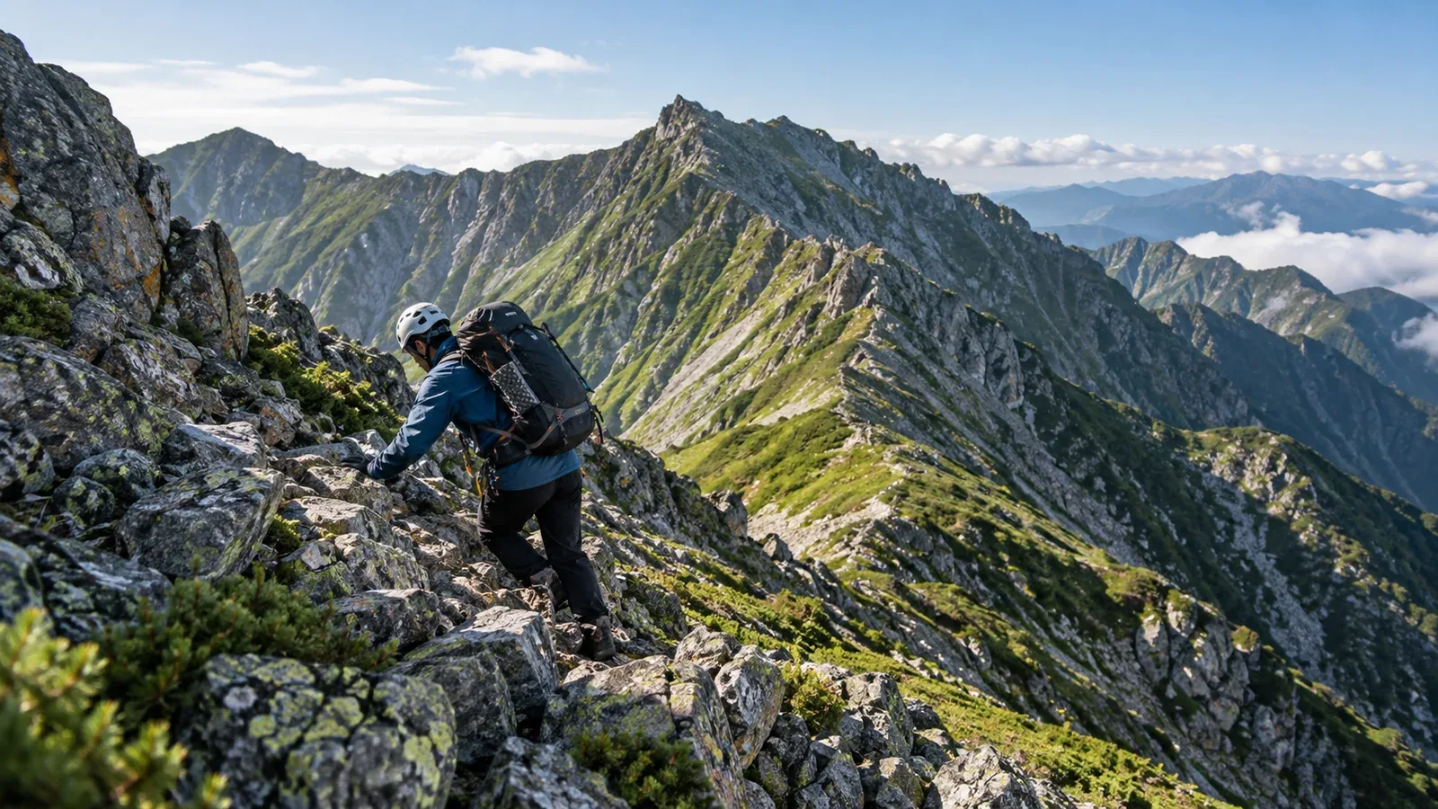
Variation is borrowed from English, suggesting an alternative to the standard route. Examples include climbing a rocky ridge, ascending a stream, following a snowy ridge in winter or pushing through dense brush. These often demand more technique and specialised gear.
The term tells you the line is outside the maintained trail network. Check local restrictions separately. Lack of maintenance raises the risks, so these routes are generally suited to experienced mountaineers.
How it differs from an ordinary trail
The two types of route differ in several practical ways.
Trail maintenance
Ordinary trails are often maintained by local authorities, hut staff or trail organisations. A collapse may prompt a closure notice. Signs and markers make it easier to match where you are to the map.
Variation routes have no comparable regular maintenance. There may be no signs, with long stretches of faint or absent trail. A collapse may go unreported, and you must decide on the spot whether passage is possible.
Maps and navigation
Standard routes are usually marked in commercial hiking maps and apps. Following a visible path makes it easier to stay on route. A variation line often does not appear on the topographic map. You must read contours and judge where to go. GPS helps, but you still need to interpret the terrain.
Skills and equipment
Regular trails can include steep climbs and fixed chains, but they are laid out for foot traffic. Depending on the route, variation terrain may require rope belaying, using crampons and an ice axe on snow, or judging where and whether to cross moving water. The required equipment varies accordingly.
Search and rescue
On an ordinary trail it can be easier to establish the likely route and start searching. Fewer people use variation routes and the line itself may be unclear, so locating and rescuing someone can take longer. Include this in your risk assessment.
Signs you may need more experience
Build experience on established trails first. The following are general signs that you may be unready. The required level depends on the specific route.
- You do not regularly check your position against a topographic map.
- You cannot picture terrain from the contour lines on a hiking map.
- You have not chosen a direction without signposts before.
- You have little experience choosing handholds and footholds on rock or chain-assisted terrain.
- You have never travelled without an experienced group leader.
If several apply, continue on ordinary trails and learn the necessary skills through a mountaineering club or a certified guide.
How to get started
If you become interested after gaining experience, avoid starting out alone. A common progression is as follows.
- Join a mountaineering or climbing club. Look for a place to learn with experienced members and instructors.
- Hire a certified guide. If you have a particular route in mind, a guide who knows it can teach you skills and how to make decisions on the ground.
- Start on less demanding variations. An introductory stream ascent or a relatively stable ridge in the late-snow season may be an option with suitable instruction. Increase difficulty as you learn to judge conditions.
Write your exact line in the route field of your hiking notification. Submit it to the police or at the trailhead where applicable. Check current restrictions and prohibited areas with the local authority, park office or hut.
Common misunderstandings
Variation routes generally call for more experience. Their range of difficulty matters, though.
They range from relatively gentle brushy ridges on lower mountains to roped climbs along high rocky ridges. Choose a line that fits your skills and experience.
A GPS alone cannot keep you on route and fitness alone cannot make it passable. Navigation and terrain judgment are skills of their own. Use technology as an aid. Depending on it on an unmarked route can increase the risk of getting lost.
What to do next
Build experience on established trails and learn to read a topographic map. If you want to join a club or go with a guide, Nordwand’s guide search and interest-based communities can connect you with people working towards similar goals. Assess your current skills and experience before taking on a variation route.
References
- National Police Agency, Community Safety Bureau: overview of mountain incidents
- Geospatial Information Authority of Japan: reading topographic maps
- Japan Mountaineering and Sport Climbing Association: Technical and Safety Committee resources