
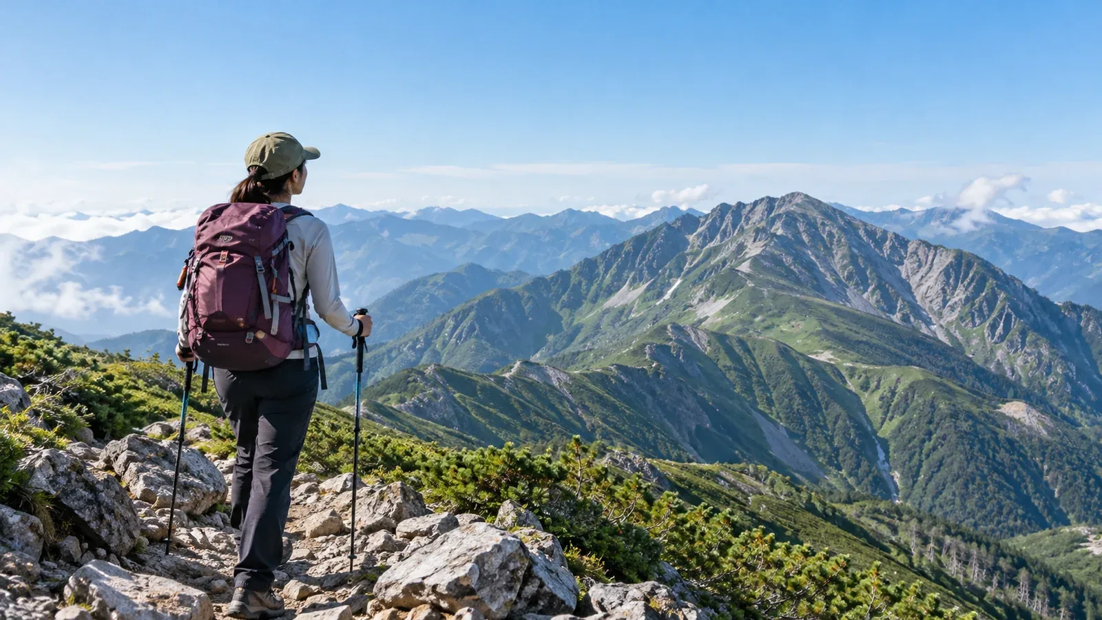
Many hikers want to climb one of Japan’s 100 Famous Mountains, the Hyakumeizan, in a day. The list includes remote peaks, mountains with a long journey to the trailhead and high-elevation routes where altitude illness is possible. What fits into a day depends on your fitness, transport, season and weather.
Here’s how to assess and shortlist day hikes. The examples are a starting point. Check current information from local authorities and trailhead operators for route times, restrictions and transport.
Four factors that determine whether a hike fits in a day
Use these four factors together when comparing options.
1. Travel time to the trailhead
For some peaks, getting to the trailhead and back can take four to six hours on its own. A hike you can reach in a day by public transport from Tokyo, Osaka or Nagoya is a different proposition from one that calls for a night near the trailhead. Look up the journey first and see what’s practical from your starting point.
Missing the last bus can leave you without a way home in areas with infrequent service. Timetables can change by season. Check operator or municipal notices shortly before departure.
2. Elevation gain and total distance
The distance and elevation gain you can manage in a day depend on your fitness, trail surface, technical difficulty and elevation. Some prefectural route grades separate physical demand from technical difficulty. Compare the figures with how you’ve done on similar routes.
Look back at the elevation gain and walking time on hikes you’ve already done to set a realistic limit for your day.
3. Elevation and altitude illness
The list includes summits above 2,500 m. People who aren’t acclimatized may experience symptoms such as headache, nausea or fatigue. The risk varies with altitude, speed of ascent, duration of exposure and individual susceptibility. Watch for symptoms even if you’ll return to lower ground the same day.
Driving or taking a bus quickly to a high trailhead gives you less time to acclimatize. If you suspect altitude illness, stop ascending and rest. If symptoms worsen, descend. If you have a heart or lung condition or another relevant health concern, talk to a doctor before planning a trip to high altitude.
4. Opening dates and seasonal weather
Some peaks have winter closures or access restrictions. Check opening dates and forest road closures with local authorities, visitor centers or mountain huts. As the days get shorter in autumn, adjust your start time or choose a shorter route.
How to make a shortlist
Compare candidate mountains in this order.
- Look up the journey from your starting point to the trailhead. If using public transport, check the first and last services.
- Check elevation gain, distance and published walking times. Use a mountain guide or municipal route information. Adjust the estimate using how your own times compare with published times on similar terrain.
- Plan the whole day from departure to return. Include transport, walking, breaks, food and a buffer for weather or feeling unwell. Check how late you would get home.
- Check seasonal openings, road restrictions and parking. Some areas limit private vehicles and require a shuttle at busy times.
- Check escape routes and descent options. Identify places to turn back and whether you have a choice of trails.
What makes some of the 100 Famous Mountains easier to hike in a day
Compare trailhead transport, walking time, elevation and terrain.
Mountains within reach of cities may have more ways to get to the trailhead. On certain days, for example, buses run from JR Kai-Yamato Station to Kamihikawa Pass for Mount Daibosatsu in Yamanashi. Check operating days and return times before leaving.
Mountains with a bus to a high trailhead may require less climbing on foot. Private vehicles are restricted on the roads to Tatamidaira on Mount Norikura, so take a shuttle or taxi. Check operating days, the last service and weather-related changes, and allow for the rapid ascent to altitude.
Peaks in the low 2,000 m range or below generally pose less altitude-related risk than higher peaks, but steep terrain, rocky ridges and long routes can still make a day hike impractical. Check distance, technical difficulty and conditions underfoot as well as elevation.
Remote parts of the Northern and Southern Alps can mean a long journey to the trailhead and hours on ridges. If daylight or transport leaves too little margin, consider a night near the trailhead, a hut stay or a shorter route.
Three things day hikers often overlook
Underestimating the descent
Steep rock, slippery ground and fatigue can make the descent slow. Estimate ascent and descent separately, using past trips on similar terrain, and add breaks and a buffer for delays. Decide where you’ll turn back if you fall behind.
Sudden weather changes
Lightning is a concern on high ridges even in summer. Check regional forecasts and advisories from the Japan Meteorological Agency and a forecast for your area and elevation the day before and the morning of your hike. If thunderstorms are possible while you’re out, consider a route away from ridges or postpone. If you hear thunder, leave summits and exposed ridges and get to a safe building or other safe shelter as soon as possible.
Overlooking transport home
Check the return bus or train when you start planning. The last departure in a mountain area may be early, and missing one or two services can make it hard to get home that day. Set a finish time with enough room to reach your connection.
Next steps
Check elevation gain, walking time and transport for your shortlist, then plan from departure to return. Verify restrictions and transport with regional and mountain forecasts and the latest notices from local authorities, huts and transport operators. In Nordwand’s Base Camp you can find others planning the same mountain, or you can consult a guide qualified for your activity.
References
- Japan Meteorological Agency: regional forecasts, alerts and lightning information
- National Police Agency: annual mountain incident reports
- Prefectural police: instructions for submitting a hiking plan
- Ministry of the Environment: national park visitor rules
References and sources
- Nagano Prefecture: Shinshū mountain route grades
- Yamanashi Prefecture: safe hiking guidelines
- U.S. Centers for Disease Control and Prevention: high-altitude travel and altitude illness
- Kōshū City: Mount Daibosatsu and trailhead access
- Ministry of the Environment: private vehicle restrictions in Chūbu Sangaku National Park
- Alpico: shuttle from Norikura Highlands to Norikura Tatamidaira
- Japan Meteorological Agency: weather forecasts
- Japan Meteorological Agency: staying safe around lightning
- National Police Agency: mountain incident statistics
- Ministry of the Environment: national park visitor etiquette