
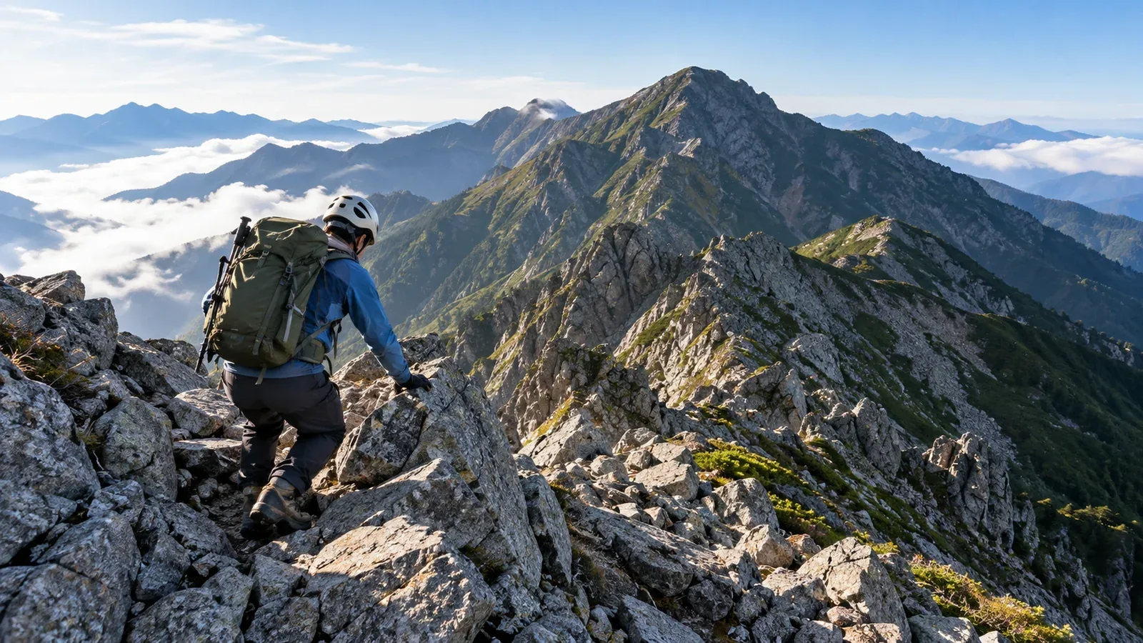
People working through Japan’s 100 Famous Mountains often talk about the peaks that get left until last. A remote trailhead, technical terrain, plans repeatedly scuppered by weather or a punishing day can all play a part. Several of these often come together on a mountain people keep putting off.
This guide looks at the features of routes generally considered difficult and shows how to plan the order in which to attempt them. It gives you a way to compare your current experience with the demands of each mountain.
Difficulty varies considerably with experience, fitness, equipment and season. Use the examples as broad patterns. Check the latest restrictions, season dates, access and hut operations with local authorities, hut operators and trailhead managers.
Four things that make a route hard
Calling a mountain tough or intimidating leaves little to plan with. Break the challenge down into four parts.
1. Technical difficulty (climbing, rock and fixed chains). Exposed rock ridges, repeated chain sections and narrow ridges with steep drops require precise movement as well as fitness. The summit of Yari-ga-take and the standard routes on Tsurugi-dake are examples. On rock, keeping three points of contact while moving one limb is a basic technique that takes practice on real terrain.
2. Physical demands (elevation gain, time and pack weight). A lot of ascent does not always make the climbing technical. Kyūya Fukada’s list includes many mountains with long ridges. Mount Poroshiri in Hokkaidō and Mount Myōkō from Sasagamine both call for endurance and a steady pace over a long distance.
3. Access and remoteness. Few staffed huts, a distant trailhead or limited ways to descend make a route more demanding. The Nukabira River route to Mount Poroshiri has many crossings, and an overnight stop at Poroshiri Hut is usual. The routes from Niikappu and the Chiroro forest road are also long and have different hazards. Kurobegorō-dake and Yakushi-dake likewise lie deep in the range and take a long time to reach from the trailhead.
4. Unsettled weather and short windows. Fog, strong wind and lingering snow can shorten the time you have to follow your plan. In the high mountains of Tōhoku and Hokkaidō, the snow-free season varies by year and route. On high ridges in the Northern and Southern Alps, plan around thunderstorms and know when and where you can get off the ridge.
Four ways to assess a route: technique, fitness, access and weather
One measure alone can skew your judgment. Consider all four to see where you need more experience or where the plan needs to change.
- Technique (rock and chains). Build experience on rock ridges, starting with short and less demanding sections nearby.
- Fitness (distance and elevation gain). Develop endurance and leg strength by increasing distance or ascent in stages from day hikes you finish with a reserve.
- Access (remote trails and isolation). Prepare for nights out, stream crossings and navigation. Practise camping skills and reading a topographic map.
- Weather (unsettled conditions and a short summer). Practise early starts, gathering information and turning back in time. Compare Japan Meteorological Agency regional forecasts and warnings with a mountain forecast for the relevant elevation.
Apply the four factors to yourself. You might feel comfortable on rock but have little overnight experience, or have good endurance and little experience on exposed ground.
What demanding mountains have in common
These are some of the 100 Famous Mountains often described as difficult by guidebooks and hikers. The examples show why the routes can be demanding.
Mountains with exposed ridges and climbing
Tsurugi-dake (Toyama Prefecture). The Bessan Ridge has difficult rock sections such as Kani no Tatebai on the ascent and Kani no Yokobai on the descent. Even this established hiking route requires a head for heights and basic skills on rock. Check conditions before you go and leave time in the schedule.
Yari-ga-take (Northern Alps). The summit pinnacle has steep rock, fixed chains and ladders. Crowds can slow progress. Allow extra time and consult the estimates from Yarigatake Mountain Hut.
Remote mountains with difficult access
Mount Poroshiri (Hokkaidō). The trailheads are remote and the mountain is brown bear habitat. The Nukabira River route crosses the river more than a dozen times before Poroshiri Hut, and rising water can make it impassable. Submit a hiking plan, prepare for bears and check the forest road, shuttle and crossings with the managers.
Itō-dake (Yamagata–Niigata border) and Mount Sobo (Ōita–Miyazaki border). Transport varies by trailhead. Check how far buses or seasonal shared shuttles go and whether the last leg needs a car or advance booking.
Mountains that require a long approach
Kurobegorō-dake (Toyama–Gifu border) and Yakushi-dake (Toyama Prefecture) sit deep in the Northern Alps, with long approaches from Oritate and other trailheads. Use Toyama’s route ratings to consider a day hike, a hut stay or an overnight at a designated campsite based on your pace and road opening hours. You need enough endurance to keep moving and enough energy left to judge your footing with a pack on.
Deciding what to attempt and when
Build experience gradually on mountains with similar conditions. Use the following steps to decide the order.
- Take stock of what you’ve done. Have you finished a day hike with at least 1,000 m of ascent, travelled through rock or chain sections, or made a traverse with a night in a hut or tent?
- Identify what makes the goal hard. Use the four factors above to see where the gap lies between the route and your experience.
- Practise on similar terrain. For rock, start with shorter, less demanding sections. For long distances, choose a distance and elevation gain you can handle with a reserve.
- Check the season and restrictions early. Find out about access roads, opening dates, restrictions and when hut bookings open through local authorities and operators while you’re still planning.
- Set turnaround rules in advance. Decide when to turn back or postpone, for example if you miss a waypoint by a set time or cannot be off an exposed ridge before thunderstorms or strong winds are forecast.
Current information matters most on difficult routes
In planning a difficult route, up-to-date information can matter more than older reports or a guidebook. Rockfall, landslides, lost bridges and forest-road closures can happen unexpectedly. Recheck just before you leave.
Use sources such as these.
- Hut websites and social accounts. Look for recent conditions from people working on the mountain.
- The local authority or tourism office for the trailhead. Look for road closures and access rules.
- Japan Meteorological Agency regional forecasts and warnings and mountain forecasts. Check the regional picture as well as wind, rain and lightning for your elevation and ridge.
- Police and mountain rescue advisories. Look for warnings specific to the area.
For safety decisions, rely on current official information and people with local expertise.
What to do next
Once you choose a mountain, write down what makes it demanding in technique, fitness, access and weather. Then pick one or two other mountains to close the gaps and plan a manageable trip. In Nordwand’s Base Camp and community, you can share recent conditions with hikers heading to the same mountain. Check the latest information from the route managers for your plan.
References
- National Police Agency, overview of mountain accidents
- Japan Meteorological Agency, Weather Forecasts and Information
- Prefectural police, hiking plans and mountain information
- Ministry of the Environment, rules and etiquette for national parks
References and sources
- Nagano Prefecture | Shinshū mountain grading and ratings for the 100 Famous Mountains
- Toyama Prefecture | Mountain route grading
- Tateyama Caldera Sabo Museum | Dictionary of place names on Tsurugi-dake
- Yarigatake Mountain Hut Group | Summit times and queues
- Hidaka Town, Hokkaidō | Mount Poroshiri, the Nukabira River route and Poroshiri Hut
- Japanese Alpine Club, Hokkaidō branch | Three routes to Mount Poroshiri
- Tsuruoka City | Roads, trails and transport for Itō-dake
- Takachiho Tourism Association | Trailheads and access to Mount Sobo
- Geospatial Information Authority of Japan | Major mountain elevations, March 31, 2026 edition
- Japan Meteorological Agency | Weather forecasts and information
- National Police Agency | Mountain and water accident statistics
- Ministry of the Environment | Rules and etiquette for national parks
- Japan Sport Council, National Mountaineering Training Center | Fundamentals of climbing movement