
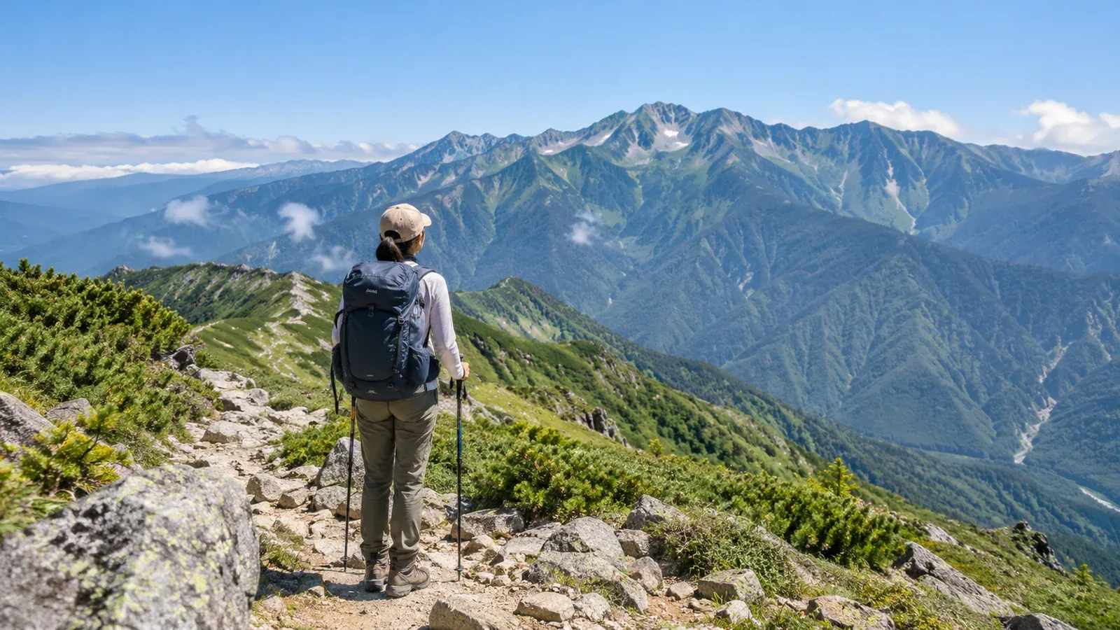
“I want to hike one of Japan’s 100 Famous Mountains. Where do I start?” It’s a question many new hikers ask. Kyūya Fukada selected the 100 mountains for their stature, history and individual character, without using route difficulty as a criterion. The list includes gentle day hikes and serious alpine traverses.
An approachable hike can mean lower elevation, a shorter route, less total climbing, simpler terrain, straightforward access or a hut nearby. Use those factors to narrow the list to a first mountain that suits you. The aim is to judge whether the route fits your abilities.
Five factors that make a route approachable
Compare these five factors together when looking at the 100 Famous Mountains.
1. Elevation and weather exposure
Air temperature generally drops as elevation rises. On a ridge with no trees to block the wind, sudden rain or strong gusts can chill you even in summer, and shelter from lightning is limited. Elevations such as 2,500 or 3,000 m are useful for comparing mountains. Even at around 1,500 m, check how long you’ll be exposed and where you can descend safely.
2. Total elevation gain and walking time
A low summit can still mean a hard day. Look at total elevation gain from the trailhead and estimated walking time to judge the physical effort. For comparison, one example of a day-hike plan might be 600–800 m of gain and five to six hours of walking. Use a hike you finished with energy to spare as your own reference and compare it with the figures on trail maps or local hiking guides.
3. Technical difficulty
Rock, chains and steep slopes can make experience more important than fitness. Slippery rock ridges and long chain sections carry greater risk if you’re unfamiliar with them. Look for mentions of rocky ridges, fixed chains and scree on GSI maps, trail maps and mountaineering club reports.
4. Access and trailhead elevation
A higher trailhead can reduce the height you need to climb. Roads and buses can take you well up some mountains, reducing the amount of climbing on foot. Straightforward public transport also matters to beginners. Check municipal hiking or tourism pages and the train and bus operators’ websites.
5. Trail maintenance and available information
Popular mountains often have more signs and more coverage in guidebooks and trip reports. You may also be more likely to encounter other hikers if something goes wrong. Very crowded routes can have rockfall and bottlenecks that slow the day down.
How to narrow the list
Step 1: Take stock of your experience
Think about day hikes you’ve completed with time and energy to spare. How much did you climb, how long did you walk and what were you carrying? Practising decisions about descending when the weather changes and finding your position with a map and compass also helps. If you’re still gaining experience, start with lower mountains close to home.
Step 2: Filter by region and season
Choose a region you can get to and a season you can go. Snow covers the trails on many of the 100 Famous Mountains in winter and changes what skills they require. Check opening dates and snow conditions with the local authority or official hut information.
Step 3: Compare routes using several sources
Once you have two or three candidates, look them up in Yama to Kōgen Chizu, GSI Maps and local government hiking information. Check these points.
- Standard walking time and total elevation gain of the shortest route
- Whether there are rock or chain sections and how long they are
- Whether you can turn back or use a bailout route if conditions deteriorate
- Where the huts and emergency shelters are
Decide whether you can finish with your present fitness and skills. If you’re unsure, you could hire a certified guide.
Step 4: Set your start, turnaround and finish times
Work backward from when you need to be down. For example, aim to be back one to two hours before sunset, subtract breaks and a margin for delays, and set start and turnaround times. Multiplying the standard time by 1.2–1.5 is one way to make a provisional estimate. Adjust the margin to your actual walking times and trail conditions. Check the Japan Meteorological Agency’s regional forecasts and warnings and a mountain forecast for your elevation the day before and again in the morning.
Common assumptions about easier routes
“A famous mountain must have a well-maintained trail.” Even popular mountains can have rough trails.
“I can match the guidebook time.” It’s a benchmark for a fit hiker. Pack weight, breaks and how you feel can change your pace considerably. Leave extra time on a first visit.
“Lower mountains are easy.” Peaks around 1,000 m can have steep rock ridges, long forest-road approaches and unsettled weather.
“There’s no snow to worry about in summer.” Patches can remain even in July in the Northern Alps and the high mountains of Tōhoku and Hokkaidō. Check the latest snow conditions with local authorities or huts.
What approachable routes often have in common
Peaks often recommended to newer hikers share a few features. Use them as a starting point.
- A high trailhead with comparatively little climbing to the summit
- A clear main trail and good signs
- Few rock and chain sections on the ridge or near the summit
- Public transport or visitor facilities nearby and information that’s easy to find
- Regular traffic in season, with other hikers often nearby if you need help
Check your shortlist for a season you can go, a route that fits your current fitness and skills, and access that works for you.
Where to start
Use a guidebook or Yama to Kōgen Chizu to note the walking time and total elevation gain for peaks that interest you. Check the Japan Meteorological Agency’s regional forecasts and warnings alongside a mountain forecast, and use local government and hut notices for opening dates and restrictions. To find partners heading to the same peak or arrange a certified guide, try Nordwand’s community and guide search.
References
- Kyūya Fukada, One Hundred Mountains of Japan (Shinchōsha)
- Japan Meteorological Agency, Weather Forecasts and Information
- Geospatial Information Authority of Japan, GSI Maps
- National Police Agency, annual overview of mountain accidents
- Prefectural and municipal hiking information and access notices
References and sources
- Shinchōsha | Kyūya Fukada’s One Hundred Mountains of Japan
- Nagano Prefecture | Shinshū mountain grading and ratings for the 100 Famous Mountains
- Japan Meteorological Agency | Weather forecasts and information
- Geospatial Information Authority of Japan | GSI Maps
- National Police Agency | Mountain and water accident statistics