
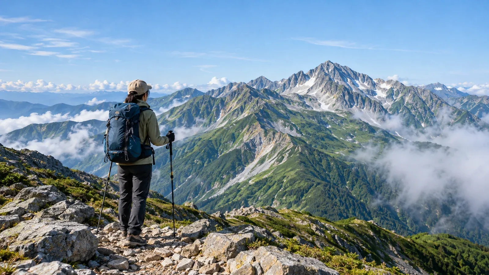
You may know that Mount Fuji is Japan’s highest peak. Before setting your sights higher, look at what changes as you gain elevation and how that affects the way you prepare.
Climate, vegetation and hazards can change considerably with elevation in Japan. A peak above 3,000 m can call for different equipment, fitness and experience from one between 2,000 and 3,000 m. These elevation bands help you decide which mountain to try, in what order and what to prepare.
Above 3,000 m in the Japan Alps and on Mount Fuji
After Mount Fuji (3,776 m), many of Japan’s highest peaks are in the Southern and Northern Alps. The Southern Alps include Kita-dake (3,193 m) and Aino-dake (3,190 m). The Northern Alps include Oku-Hotaka-dake (3,190 m) and Yari-ga-take (3,180 m). Mount Norikura (3,026 m) and Mount Ontake (3,067 m) also exceed 3,000 m. Kiso-Komagatake, the highest peak in the Central Alps, reaches 2,956 m. The Komagatake Ropeway arrives at Senjōjiki Station at 2,612 m, so you enter an alpine setting the moment you step out.
At about 3,050 m, the partial pressure of oxygen in the air you breathe is about 69% of its value at sea level. Rapid ascent can trigger acute mountain sickness, with symptoms such as headache, nausea and fatigue. It can affect fit hikers, even those who have been fine at altitude before. If symptoms develop, stop ascending. Descend if they worsen and call for help if symptoms are severe. Ask a doctor before the trip about any medical conditions or prevention.
2,500–3,000 m: Alpine plants and the tree line
Several mountains in this band rise above the tree line, including Aka-dake in the Yatsugatake range (2,899 m), Mount Haku (Gozen-ga-mine, 2,702 m) and Kiso-Komagatake (2,956 m). The tree line varies by range and slope. Once you leave the forest, exposed ridges offer little protection from wind, ultraviolet radiation or lightning.
Many mountains at these elevations have established access and huts. Conditions on a ridge can still change quickly, and temperatures can drop below 10°C even in summer. Keep layers handy so you can manage warmth and put on rain gear promptly as conditions change.
Read the terrain to judge difficulty
Elevation alone is a poor measure of difficulty. Some rocky ridges in the Northern Alps at elevations between 2,000 and 3,000 m are more technically demanding than a standard route above 3,000 m. A cable car or mountain railway can also change how much climbing you have to do at the same elevation.
To assess a route, look at the following:
- Total elevation gain. Add up every uphill section. More ascent takes more energy.
- Technical difficulty. Look for rock, fixed chains and snowfields. Compare those sections with your own experience before deciding whether you can travel them alone.
- Standard walking time. Use a reliable source such as the Yama to Kōgen Chizu maps. Learn how your usual pace compares with the published times.
- Bailout routes. Check whether an alternative descent is available if the weather deteriorates or you feel unwell.
- Huts and water sources. Know how far apart food and water resupply points are, especially on long outings approaching the limits of a day hike, such as a round trip of more than 10 hours.
Building experience for higher mountains
Build up elevation, technical difficulty and physical effort in stages.
Step 1: Learn the basics on well-maintained trails around 1,000–1,500 m
Start with clear trails near a hut or shelter. Learn to locate yourself on a topographic map or app, pace yourself, check your equipment and eat as you go.
Step 2: Get used to exposed conditions around 2,000 m
Go above the tree line to experience how wind, cold and visibility change on a ridge. Practise adjusting layers while moving and packing for day hikes and hut stays.
Step 3: Plan an overnight trip around 2,500–3,000 m
A night at higher elevation builds skills in planning, managing a pack and making decisions about weather, as well as fitness. Camping requires different equipment from a hut stay. Many hikers start with a hut.
Step 4: Aim above 3,000 m
With sufficient fitness and experience, try Mount Fuji or a major peak in the Northern or Southern Alps. Fuji’s standard trails involve relatively little technical climbing during the open season, but the effort and the risk of altitude illness are real. Traverses in the Northern Alps can involve exposed rock, fixed chains and stream crossings. Study the route in advance.
Where to check opening dates, restrictions and huts
High mountain trails can close or restrict access by season, and huts have limited operating periods. Outside Mount Fuji’s official climbing season, all trails to the summit are closed. On other peaks, lingering snow and ice in spring or fall can make stretches impassable with snow-free hiking equipment and skills.
Check these sources before you go:
- Prefectural and municipal hiking offices. Check restrictions, season dates and where to submit your hiking plan.
- Official hut websites or phone numbers. Check opening dates, bookings and current road conditions.
- Japan Meteorological Agency regional forecasts and warnings, plus mountain forecasts. Compare the agency’s regional information with forecasts for your elevation and ridge. Check the day before and again on the day.
- Geospatial Information Authority maps and Yama to Kōgen Chizu. Look up terrain, elevation change and route times.
Fees, booking and shuttle schedules often change from year to year. Check current information directly with the operator or local authority.
What to do next
Think back to the highest elevation you’ve reached, how long the climb took and how you felt. When choosing your next hike, avoid increasing elevation, technical difficulty and length all at once. Recheck the region’s weather and hut notices the day before you go. Nordwand’s Base Camp lets you connect with hikers heading to the same mountain and ask about recent trail conditions.
References
- Geospatial Information Authority of Japan, Elevations of Major Mountains
- Japan Meteorological Agency, Weather Forecasts and Information
- National Police Agency, annual overview of mountain accidents
- Ministry of the Environment, visitor counts for natural parks
References and sources
- Geospatial Information Authority of Japan | Elevations of major mountains, March 31, 2026 edition
- Central Alps Komagatake Ropeway | Senjōjiki and Kiso-Komagatake
- CDC Yellow Book | High-altitude travel and altitude illness
- Japan Meteorological Agency | Weather forecasts and information
- Official Mount Fuji Climbing Website | Climbing season and trail closures
- National Police Agency | Mountain and water accident statistics
- Ministry of the Environment | Visitor counts for natural parks