
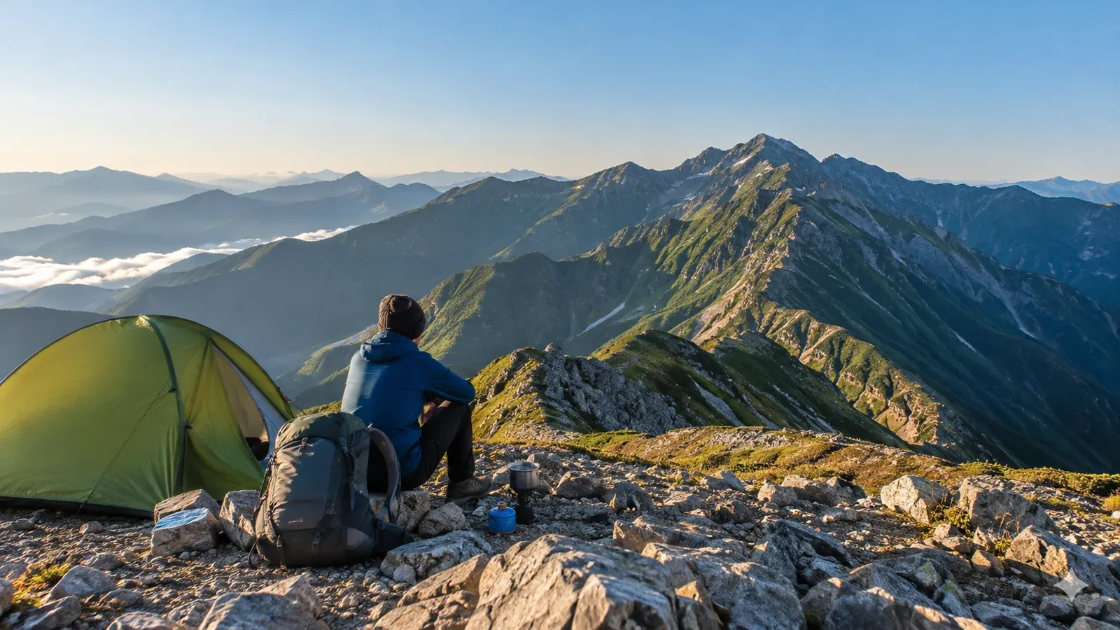
If you’re ready to go beyond day hikes, the first challenge is narrowing down your options. A map may show more multi-day routes than you could ever walk. To find one that suits your experience, equipment and schedule, look at what a traverse will ask of you day by day.
This guide covers how to compare routes and what to check before committing. From the Northern and Southern Alps to the remote mountains of Tōhoku, Japan has many routes worth spending several days on.
Why some hikes take more than a day
Different factors turn a route into a multi-day trip. Identifying them helps you plan what you’ll need.
Distance and elevation gain. A ridge linking several summits can exceed what you can walk in a day given your fitness and daylight. The main ridge of the Northern Alps and the interior of the Southern Alps offer examples.
A long journey to the trailhead. If public transport is far from the start, you may need to stay nearby the night before. Sometimes it’s the approach that makes the trip longer.
Few escape routes. Once you reach the ridge, it may be a long way to the next safe descent. Plan where you’ll decide whether to stop or turn back if fatigue or bad weather sets in.
The locations of huts and water sources. Even if the distance seems manageable, the need for water or shelter may make an overnight stop the safer plan.
These four factors help explain why a route shown on a map or in someone’s report takes several days.
Four ways to compare routes
A route’s apparent difficulty tells you only part of the story. Use these four checks to see how your options fit your circumstances.
1. Spacing between huts and campsites
Make sure you can reach each night’s stop within a realistic day of walking. Use a map to see how far apart the huts and campsites are, and allow for your pack, breaks and delays. Ask each operator about opening dates, reservations and whether camping is available and on what terms.
2. Where you can leave the route
Identify ways to descend from the traverse. Ask yourself each day where you could go if the weather deteriorated, for example on the morning of day two. Check junctions, trail conditions and transport after descending. Before a section with few safe exits, set a point where you’ll decide whether to continue or turn back. Be ready to change the route or dates.
3. Where and how often you can get water
On a camping traverse, identify water stops for each day. Sources can dry up, so ask operators about current flow and whether it’s drinkable. Carry enough to reach the next reliable refill. In the Sobo–Katamuki range, for example, Ōita Prefecture advises boiling water from local sources before drinking it.
4. How the route compares with your experience
Break published walking times down by day and compare them with your actual times on similar distances, elevation gains and terrain. Make sure the plan still works with a heavy pack, accumulated fatigue, breaks and delays. Check the latest information on rocky ridges, chains, lingering snow and trail conditions with authorities, huts and map publishers.
Major areas for multi-day traverses in Japan
Here’s what distinguishes several areas and what to check when planning.
Northern Alps (Hida Mountains). Omote Ginza, Ura Ginza and Kumonodaira offer multi-day routes. Huts have different seasons and reservation systems. Check daily forecasts for wind, precipitation and lightning on the ridges. Leave room to shorten or cancel the trip.
Southern Alps (Akaishi Mountains). The approach can be long on the Shizuoka side, including to Sawarajima. Check hut spacing and escape routes. Traverses linking the Arakawa peaks, Mount Akaishi and Mount Hijiri take several days. Check trail conditions as well as forest road and shuttle access rules.
Remote areas of Tōhoku. The Iide and Asahi ranges have traverses that use emergency shelters. Check opening status, bedding, food and water sources without assuming the shelter will be staffed or provide supplies. Snow can linger into early summer. Check the latest notices from local authorities and operators.
Long routes in Shikoku and Kyūshū. In Shikoku, the Hoino route goes to Mount Ishizuchi via Dōgamori and Ninomori. In Kyūshū, the Sobo–Katamuki range spans Ōita and Miyazaki and has traverse routes. Accommodation, water and transport at the finish vary by route. Check the latest official information.
What to verify before finalizing your plan
A traverse has more dependencies than a day hike. Verify these details while you still have time to change the plan.
- Hut bookings and opening dates. Busy dates can see huts and campsites fill. Check whether either requires reservations, when it opens and the conditions for changes and cancellations.
- Restrictions and where to file a hiking plan. Check access and vehicle restrictions, filing requirements and how to submit with the local government, police or park office.
- How you’ll check the weather. Before setting out, check Japan Meteorological Agency regional forecasts and alerts as well as a forecast for the area and elevation. Find where you can get updates en route and plan how to get down if there’s no signal.
- Emergency kit and contacts. Bring an emergency bivy shelter, a survival blanket and a first-aid kit. Leave a written copy of your entry and exit points and itinerary with family or another trusted person.
Decide what you want from the traverse
More days or distance mean more changes in weather and health, and more chances for gear trouble. Build in an option to shorten the trip or keep a spare day.
Think about why you want to spend several days in the area. It may be the scenery, a particular summit or the experience of walking a specific ridge. Let that guide your choice and leave room in the itinerary to enjoy it.
Next steps
Mark possible overnight stops and escape routes using hiking maps and official information. Ask huts and site operators whether they’ll be open and whether you can reserve for your dates. In Nordwand’s Base Camp, you can also talk to hikers who’ve walked in the area.
References
- Geospatial Information Authority of Japan: maps and topographic information
- Japan Meteorological Agency: regional forecasts, warnings and advisories
- National Police Agency and prefectural police: hiking plans and mountain incident statistics
- Ministry of the Environment: national park rules and access restrictions
- Local tourism and mountain management offices
References and sources
- Nagano Prefecture: mountain huts in the Northern Alps
- Shizuoka City: the Mount Akaishi area in the Southern Alps
- Shizuoka Prefecture: Southern Alps huts and trailhead access
- Niigata Prefectural Police: hiking information for the Iide Mountains
- Tōhoku Regional Environment Office: shelters and trails in the Asahi Mountains
- Ishizuchi Shrine Summit Hut: the Hoino route
- Ōita Prefecture: water sources and toilets in the Sobo–Katamuki range
- Yamanashi Prefecture: safe hiking guidelines
- Japan Meteorological Agency: weather forecasts
- Geospatial Information Authority of Japan: GSI Maps