
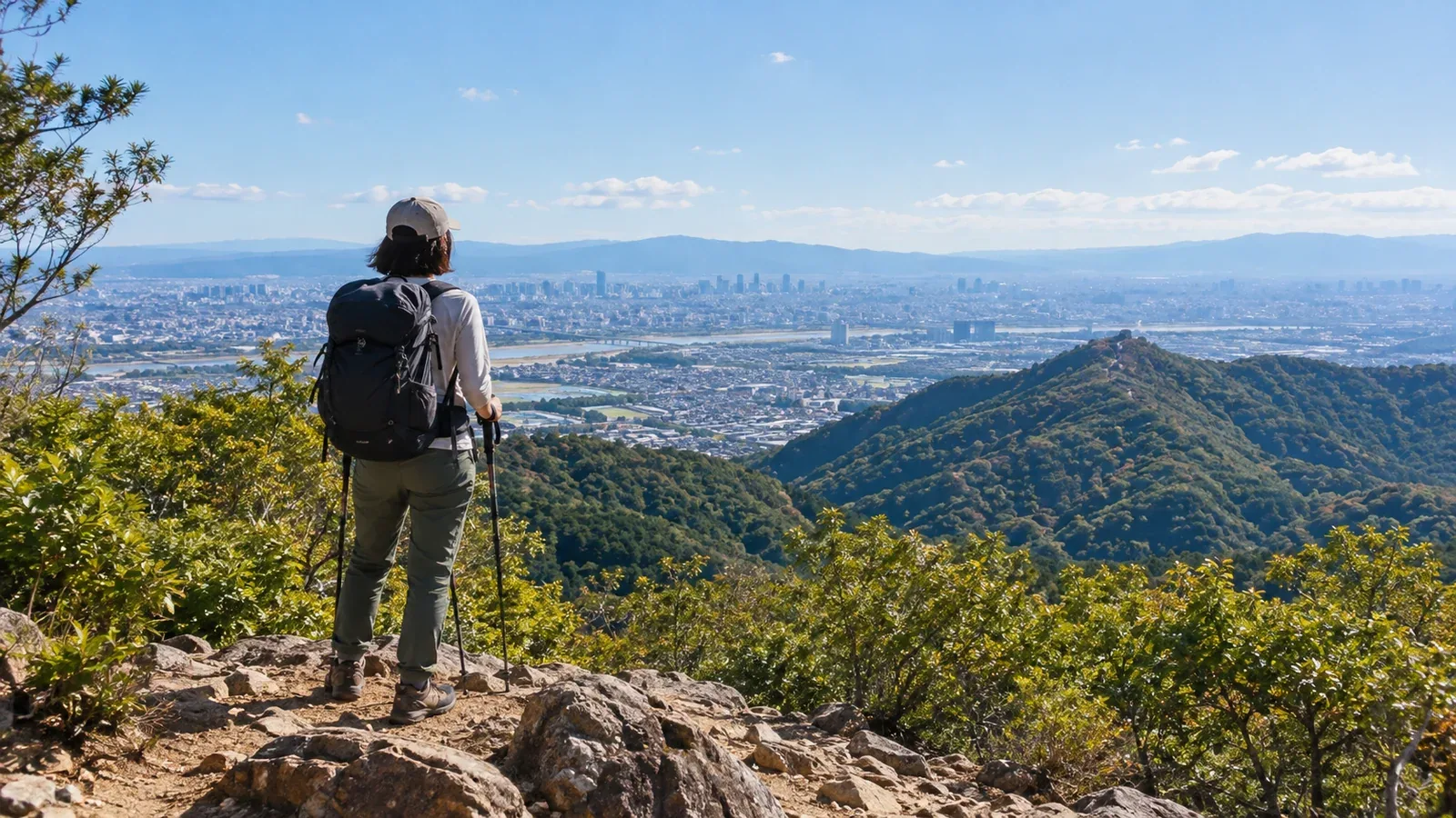
From Osaka, you can take the train to hike in and around Hokusetsu, Ikoma and Mount Nijō, the Kongō and Izumi ranges, and the Rokkō range. Some trailheads are within walking distance of a station. Others require a bus connection.
Compare routes and transport across these areas to find a hike that fits your fitness, experience and goals. Check the distance from the station and the difficulty of the trail separately.
Why choose a trailhead you can walk to from a station?
Walking from the station cuts down on transfers. If you need a bus, check the days it runs, the connection and the last departure back.
Use a map to check distance, elevation change and whether there is a safe walking route. Allow time for the hike and breaks as well.
Hokusetsu and nearby areas
Mount Tennō
In Ōyamazaki, Kyoto Prefecture, you can walk toward Hōshakuji Temple from either JR Yamazaki Station or Hankyu Ōyamazaki Station. The town puts the walk to the summit at about 60 minutes. A lookout along the way overlooks the Osaka Plain and the confluence of the rivers.
Around Mount Minoo
From Hankyu Minoo Station, follow the waterfall path through Minoo Park to Minoo Falls. The path and the surrounding mountain trails differ in footing and walking time. Allow extra time for crowds and the journey back in autumn foliage season.
Mount Kōno and Kurondo Park
One route up Mount Kōno starts at Tsuda Station on the JR Gakkentoshi Line. You can also walk to Kurondo Park from Kisaichi Station on the Keihan Katano Line. Osaka Prefecture puts that walk at about 50 minutes. Take care near the edge of the summit rock and at junctions around the park. If you combine the routes, check the total distance and where you will come out.
Mount Ponpon via Honzanji
Take a city bus from the north exit of JR Takatsuki Station to Kabusan-guchi, then walk via Kabusanji and Honzanji temples. Check the walking distance and buses in both directions.
Ikoma, Mount Nijō and Mount Yamato Katsuragi
Mount Ikoma
One walking route from Kintetsu Ikoma Station heads toward Ikoma Sanroku Park. Choose your route to Ikoma Sanjō on a map. If you plan to ride the cable railway down, check Kintetsu's timetable for connections between Ikoma Sanjō, Hōzanji and Toriimae.
Mount Nijō
Mount Nijō has two summits, Odake and Medake. Walking routes start at Nijō Jinja-guchi or Taimadera on the Kintetsu Minami-Osaka Line, and there is also a route from Kintetsu Nijōzan Station. Even if you are climbing only one summit, check the gradients and return station on a map.
Mount Yamato Katsuragi
Take the bus for Katsuragi Ropeway-mae from Kintetsu Gose Station to reach the trailhead. If you walk from the station, check the distance and roads. Azalea season gets busy, so check trail conditions and the ropeway and bus schedules.
Kongō and Izumi ranges
Mount Iwawaki
Take the bus from Kawachinagano Station to Takihata Dam, or walk in from Kimitōge Station on the Nankai Kōya Line. Distance and total ascent vary by route. In autumn, Japanese silver grass covers the summit meadow. Check your return service.
Mount Makio
To reach Sefukuji Temple on Mount Makio, take a bus from Izumi-Chūō Station and connect to the Choisoko Izumi service, which requires a reservation. From the Mount Makio stop, allow about 30 minutes on a mountain trail to the main hall. Check eligibility, how to book and your return service.
Rokkō range
Mount Rokkō
The route from Ashiyagawa Station on the Hankyu Kobe Line via the Rock Garden to the highest point of Mount Rokkō is long and includes rocky terrain. For a first visit, choose a shorter section and use a map to check junctions and where to finish.
Mount Maya
The Aotani Trail is one of the old pilgrimage routes to the former Tenjōji Temple. Reach its trailhead from the Aotani bus stop. A funicular and aerial ropeway also run to Kikuseidai. Check service and the last departure if using them. If you walk down, plan to finish before dark.
Mount Kabuto
Kabutoyama Forest Park is about a 25-minute walk from Kōyōen Station on the Hankyu Kōyō Line. Find the park paths and the route up Mount Kabuto on a map, then choose a walk based on the footing and time available.
How to choose a hike and what to check
Narrow down your options by looking at station access, ascent, terrain and the time you need to get back.
Match the hike to your fitness and experience
- For a first outing, choose a route with manageable walking time and gradients at Mount Tennō, Kabutoyama Forest Park or along the Minoo waterfall path.
- On Mount Kōno, Mount Nijō and Mount Ikoma, compare routes and identify turnaround points and places to finish the hike.
- On the longer climbs up Mount Rokkō or Mount Maya, check rocky stretches, steep slopes and descent time, then choose a route you have the experience to handle.
Season and weather. Days get shorter in autumn. Work backward from the local sunset and your return service. Check the Japan Meteorological Agency forecast the day before and again that morning.
Transport and access. Check the routes from stations and bus stops against guidance from local authorities, transport operators and trail managers. Construction or bad weather can affect routes and services.
Next steps
Pick one route and trace it on a map from the station to the trailhead, then from the end of the hike to your return station. Check access and weather before settling on a plan. Record your walking time as a reference for future hikes. You can also find people who hike in the same area in Nordwand's Base Camp.
References
- Japan Meteorological Agency weather forecasts
- Guidance from local authorities, parks and transport operators
- Maps from the Geospatial Information Authority of Japan
- Police mountain incident statistics and safe hiking information
References and sources
- Ōyamazaki Town: Mount Tennō hiking routes
- Minoo Park: getting to the park
- Katano City: route map for Mount Kōno and Kurondo Park
- Osaka Prefecture: getting to Kurondo Park
- Takatsuki City Bus: getting to Kabusan-guchi
- Ikoma City: hiking routes
- Kintetsu Railway: Ikoma Cable Line
- Katsuragi City: Mount Nijō trails and access
- Gose City: getting to Mount Yamato Katsuragi
- Kawachinagano City: bus to Takihata Dam
- Nankai Electric Railway: map of Mount Iwawaki and the route from Kimitōge Station
- Izumi City visitor guide: getting to Sefukuji Temple on Mount Makio
- Ashiya City: getting to Ashiya Rock Garden
- Mount Rokkō visitor guide: the Aotani Trail on Mount Maya
- Maya View Line: operating information
- Hyogo Prefectural Kabutoyama Forest Park: map from Kōyōen
- Japan Meteorological Agency: weather forecasts
- Katano City: Mount Kōno, a Katano heritage site
- Choisoko Izumi: reservations